


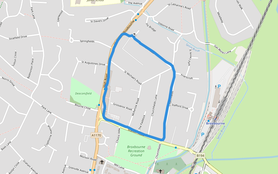
Broxbourne Recreation Ground


Length 1.5 Km
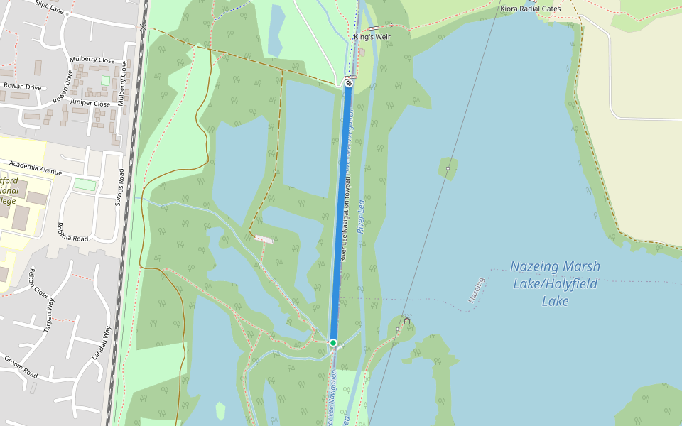
River Lee Navigation towpath
Length 0.5 Km
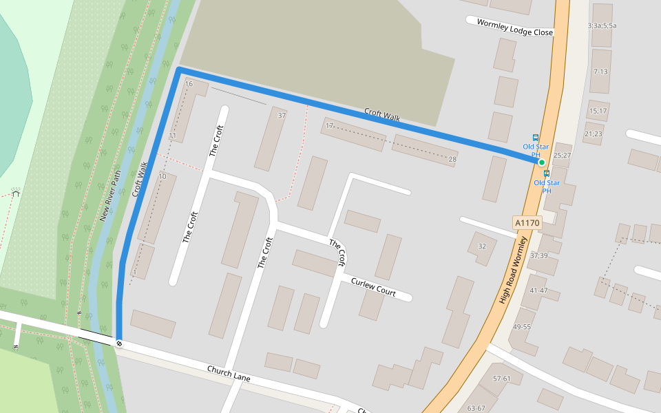
Croft Walk
Length 0.4 Km

Explore the best walking trails and routes in Broxbourne. Explore scenic nature walks, urban adventures, and hidden gems right in your city. Start your journey today and uncover the best walking trails & routes near you with this curated list from Pacer Walking App.
0~5 km

5~10 km
10~20 km
More than 20 km
Pacer is the best walking app for walking step challenges and finding places to walk near me.


 5.0 · 1 Review


