


The Hare


Length 6.8 Km
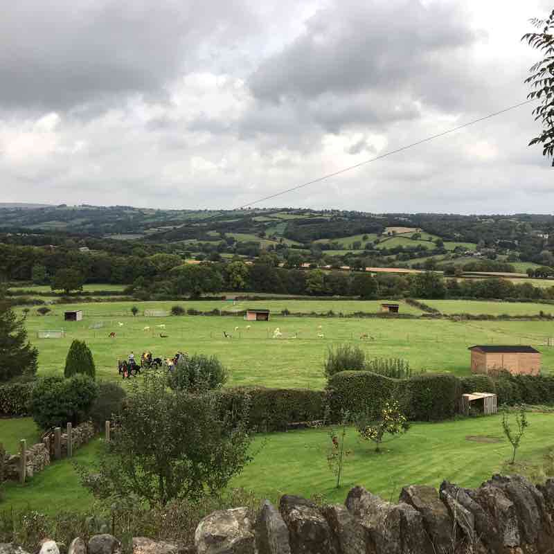
An undulating stroll taking in views of the countryside. You may see little owls, buzzards, hares or curlews.
Burn Airfield
Length 10.3 Km
Unknown Barlow
Length 7.3 Km
This walk takes you around the edge of the village. There is a pub en route- The Hare & Hounds, a free house. The roads and paths undulate giving lovely views. Often birds such as buzzards and herons can be seen. Sometimes kingfishers.
The Upland Hare Walk
Length 7.0 Km
If you are lucky you see hares on the open grassland section of this walk.
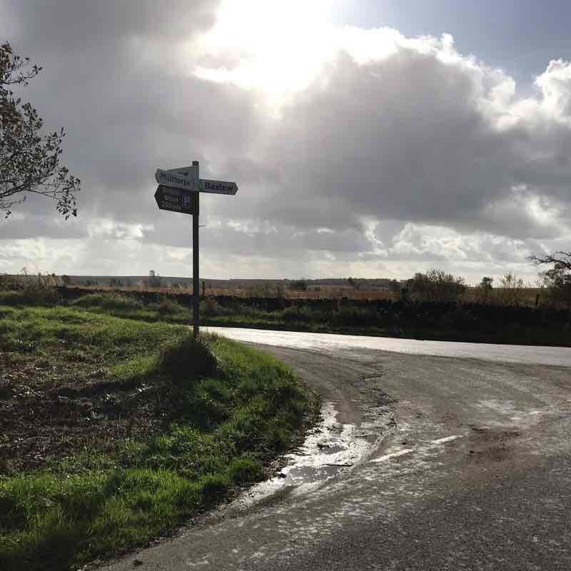
Start at the off road parking- usually lots of space. Walk towards Wildaygreen down the hill. All of the walk is on lanes and small roads.
About half the walk is uphill. Views are pretty.
Lots of horses, tractors and cyclists will share the route.
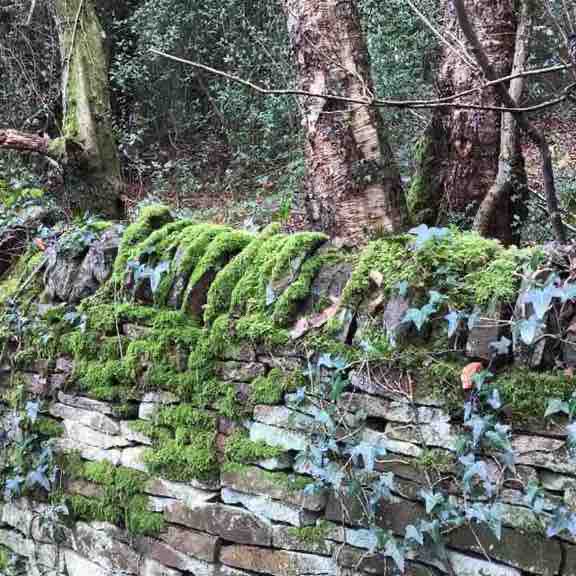
Shillito Woods.
Length 6.3 Km
Start at the pull in at park on Far Lane. Walk up the hill. Keep going up until it flattens out and you are looking at moorland and fields. The Woods are ahead.
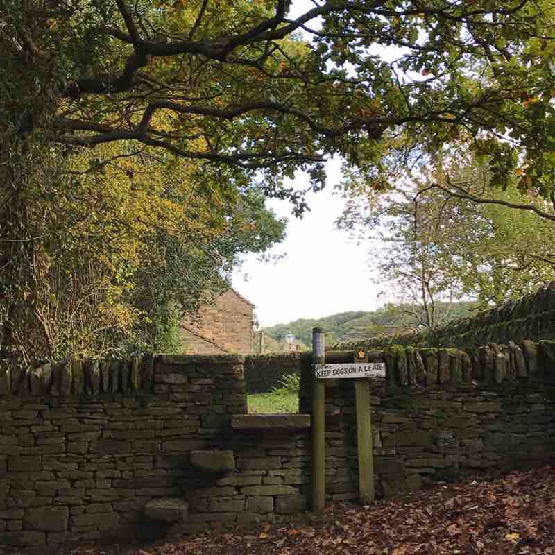
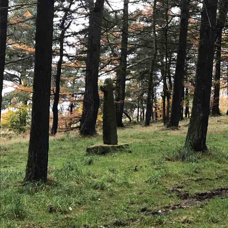
In the Woods find the old stone cross. The is a companion stone nearby with a carved message. It is not in the Woods but behind the big white gate.
Wheelchair access would only be possible in the Woodson summer or dry periods.
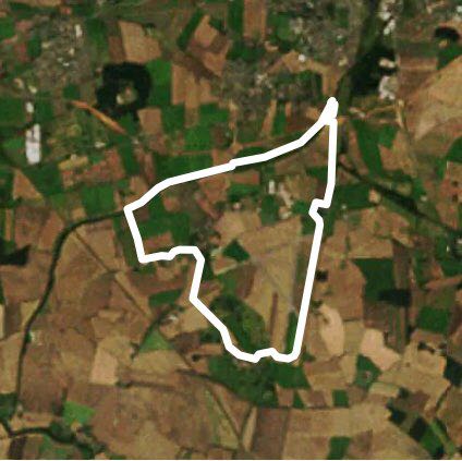
Barlow-Unthank-Barlow loop.
Length 7.0 Km
A circular walk through woodland and moorland. Beautiful views throughout.
The first 1km is up hill.
Then the walk flattens out on moorland.
Next you drop down a tiny road framed by beech woodland to the hamlet of Unthank.
Walking through fields and back up hills to Johnnygate Lane then on to Far Lane completes the walk.
Beware cows and a bull are sometimes in the fields.
You could see deer, squirrels and foxes on this route.
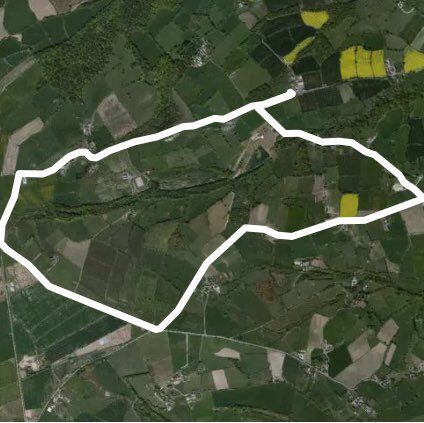
Greater Barlow circuit
Length 7.9 Km
From the car park walk down the road towards Wildaygreen. At the post box at the end of the road bear left walking upwards.
Great views over towards Chesterfield from the top.
As you near the village you can see the Peacock pub on your left. Stop for a drink or a meal - they even do breakfast.
Turn along the track to your left that leads to the church. This cuts a corner off and is quiet.
Now head down the road passing farms and fields.
Cross over the bridge at the bottom of the lane and turn right to Barlow Fisheries. Here there is a small cafe and toilets.
Walk past all the lakes and along the path by the river.
At the road turn up the hill.
Follow the road for about 400m then bear left. Walk along this road going over the crossroads and up the hill.
Open views of the valley are now behind you.
Keep following the road until it turns into a woodland track. After about 20m turn left along a footpath to a farm track.
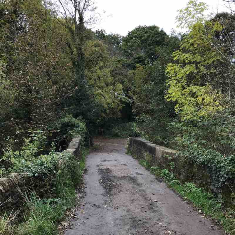
The stone barn on your left is the longest in Derbyshire.
Walk along the track to the end turning left back onto the road near the car park.
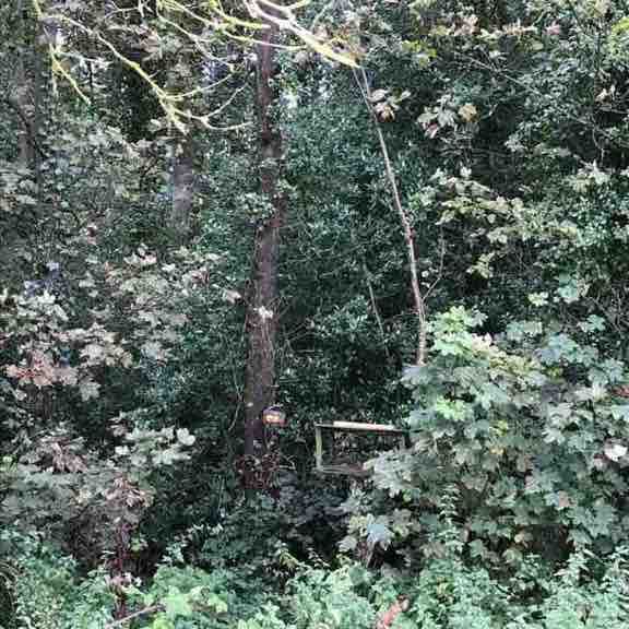
The old cross & companion stone. In the Peaks.
Length 0.8 Km
Park in the Shillito woods car park.
There is a good information sign pointing out likely wildlife you will see.
This is short walk but with 2 stone features to spot.
The old stone cross ( see photo) in the middle of the woods
The modern Companion stone just away from the woods, - see photo.
Companion stones were made in around 2010 to be positioned near an old stone way marker or feature within the Peak District.
See : www.companionstones.org.uk.
The route is circular. Dogs love snuffling about in the pine woodland. 🌲
Rumbling Street Triangle
Length 3.0 Km
Start at the lay-by head up the road until in a dip a track goes to the right.
Take the track signposted ‘Byway’.
Walk down the track for about 1.5km.
Turn up a footpath on the right. It is short but steep.
As you walk up the footpath you see an old barn. This barn is the longest in Derbyshire. I have added a photo of it 😉
Turn right as you approach the barn and go along the farm track.
This track is approx 1km long.
At the end of the farm track turn left onto the road. The lay-by is about200m ahead on your left.
Allen Wood - Johnnygate Lane
Length 3.0 Km

Barlow Common
Length 7.3 Km

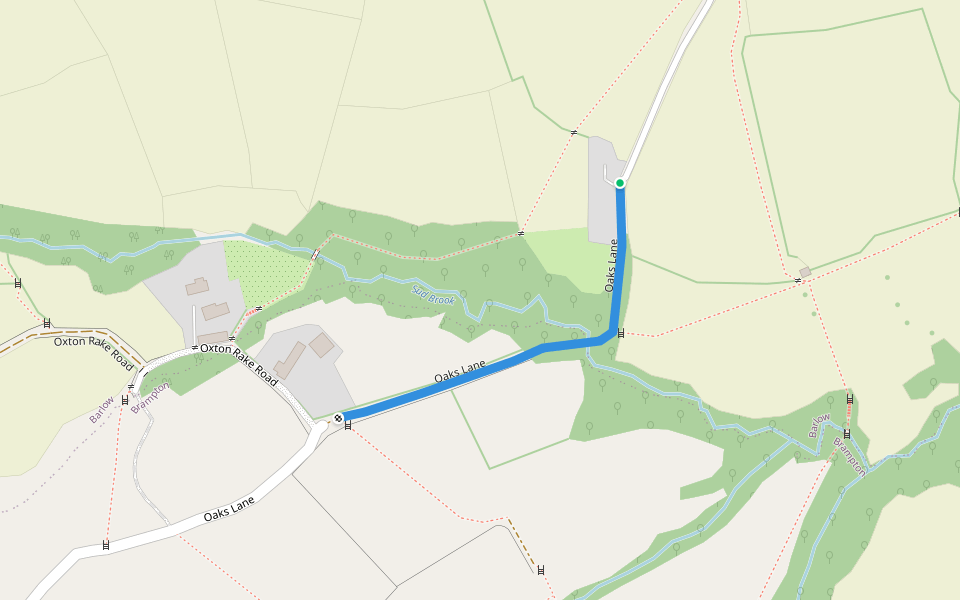
Oaks Lane
Length 0.3 Km


 5.0 · 1 Review


