


Chelford, Holmes Chapel & Middlewich 31


Length 50.7 Km
Via Foden Lane to Chelford Roundabout down to Holmes Chapel via Jodrell Bank over to Middlewich and up to Plumley turn up through Plumley to Knutsford then take Macclesfield road out. Turn for Home at Ollerton and use Great Watford as a loop but return via Frozen Mop

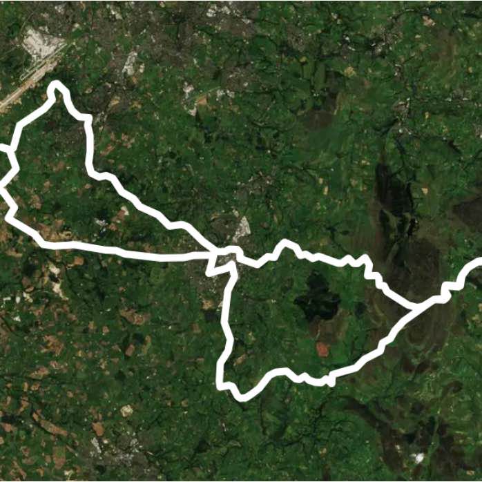
Knutsford 18
Length 29.4 Km
Home to Morley Green, airport tunnels then turn for Ashley, around Tatton, turn for Knutsford past Fryers, through Knutsford to Seven Sisters then turn home via Ollerton and Frozen Mop
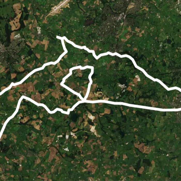
Wilmslow, Knutsford,Middlewich, Macclesfield 58
Length 93.6 Km
Home to Foden Lane turn for Wilmslow then through airport tunnels, Ashley round Tatton to Knutsford turn to Plumley then down to Middlewich cross to Holmes Chapel and then up A50 but turn to The Dog for Chelford, Double back around Great Watford to return to Chelford Roundabout then head to Macclesfield then yin to Alderley Edge Home past Girls School
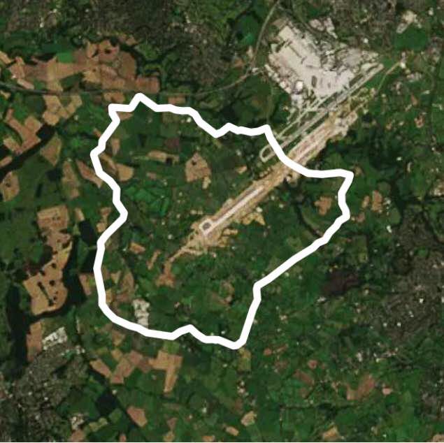
Basic airport tunnel 11
Length 18.2 Km
Home to Morley Green through tunnels turn to Ashley then turn to Mobberley via Chapel Style the home
Macclesfield 35
Length 57.2 Km
Macclesfield via the edge and Foden Lane turn to Chelford and do circle. Head pass Dog and turn for Holmes Chapel on A50 but run for Swan Green just after Lostock then Home via Seven Sisters
Buxton Leek 55
Length 88.2 Km
Home to Macclesfield to Buxton to Leek to Macclesfield Home via Chelford
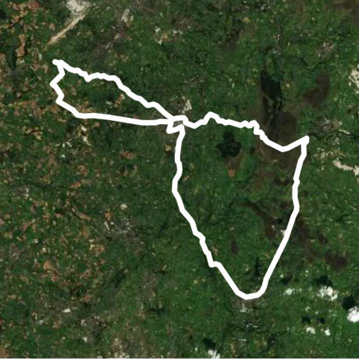
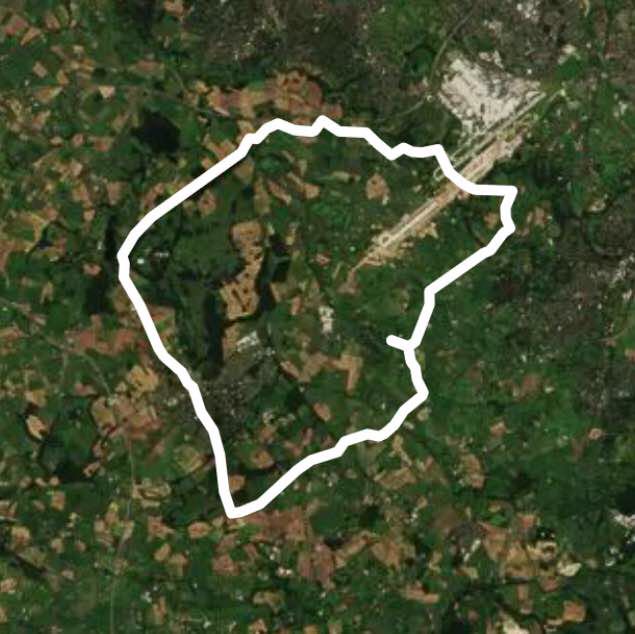
Tatton Middlewich 32
Length 52.5 Km
Around TattonDown to Middlewich and back via Seven Sisters
Buxton Blaze 53
Length 86.0 Km
Home to Buxton then back via Blaze farm and Macclesfield
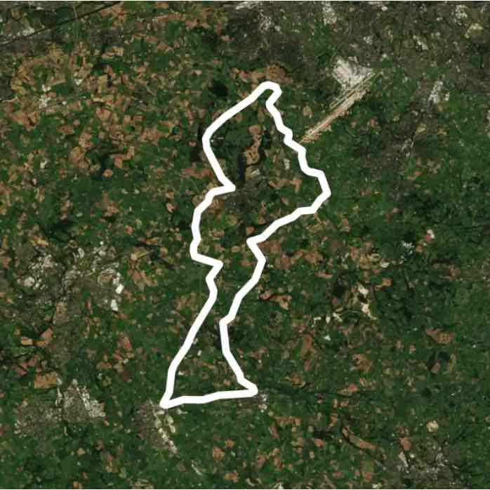
Tatton Knutsford 17
Length 27.7 Km


 5.0 · 1 Review


