


Donaupark


Length 2.0 Km

Agricolaweg
Length 0.2 Km
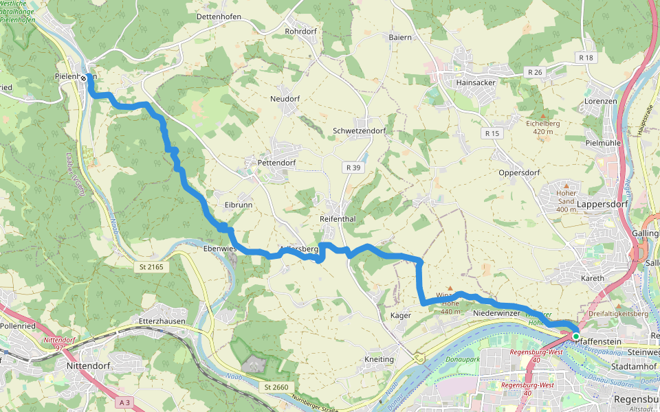
Wanderroute W 01 Regensburg - Pielenhofen (Rotes Dreieck)
Length 13.3 Km
Wanderweg Regensburg-Pfaffenstein - Watzlikkapelle - Adlersberg - Pielenhofen
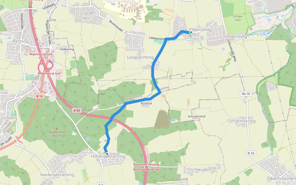
S 22 Oberisling - Hohengebraching (Rotes Rechteck)
Length 3.8 Km
Markierter Wanderweg Oberisling - Posthof - Hohengebraching
W 06 Regensburg - Eilsbrunn (Rotes Dreieck)
Length 5.5 Km
Wanderweg Regensburg-Prüfening - Pfarrersteig - Eilsbrunn

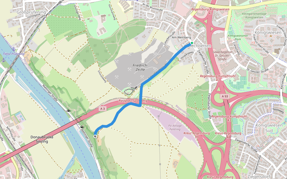
S 24 Regensburg-Dechbetten - Anschluß an S16 (Grünes Rechteck)
Length 1.6 Km
Zubringer-Wanderweg Regensburg-Dechbetten zum "S16" (Prüfening - Max-Schulze-Steig - Pentling)

S 21 Regensburg-Neuprüll - Unterirading [Walba] (Grünes Rechteck)
Length 9.1 Km
Markierter Wanderweg Neuprüll - Leoprechting - Hohengebraching - Großberg - Unterirading (Walba)
![S 21 Regensburg-Neuprüll - Unterirading [Walba] (Grünes Rechteck) walking route map in Regensburg](https://cdn.pacer.cc/route/screenshot/osm_73495.png)
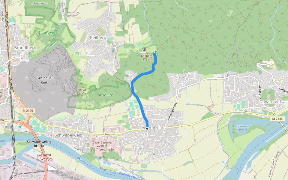
O 05 Tegernheim - Hohe Linie (Rotes Rchteck)
Length 2.0 Km
Wanderweg O 5 von Tegernheim über Tegernheimer Keller zur Hohen Linie
W 07 Regensburg - Eichhofen (Blaues Dreieck)
Length 10.6 Km
Wanderweg Regensburg-Prüfening - Marienhöhe - Gorjhof (Grafenried) - Nittendorf - Eichhofen

S 17 Regensburg-Prüfening - Geologielehrpfad (Grünes Rechteck)
Length 1.7 Km
Wanderweg Regensburg-Prüfening - Kapellenweg - Geologielehrpfad
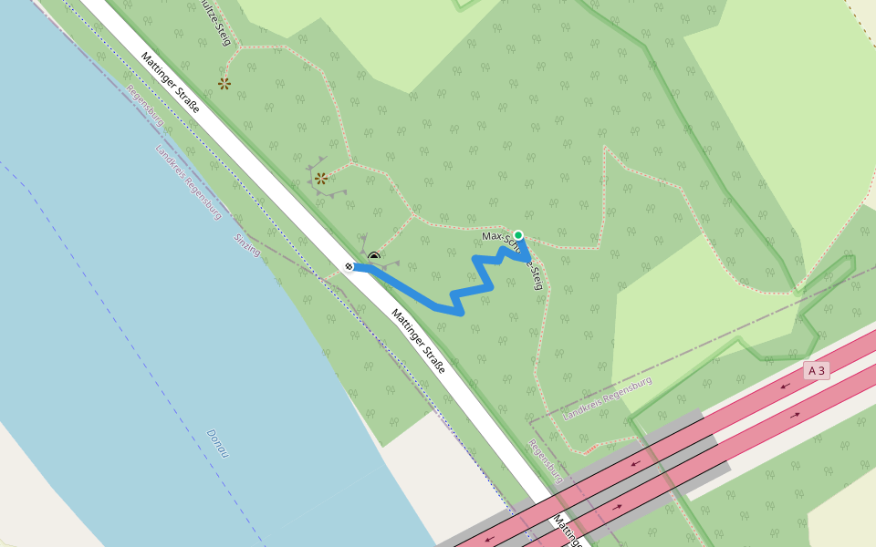
S 16-Zubringer zum Max-Schulze-Steig
Length 0.1 Km
Zubringer zum Wanderweg Regensburg-Dechbetten - Schwalbennest
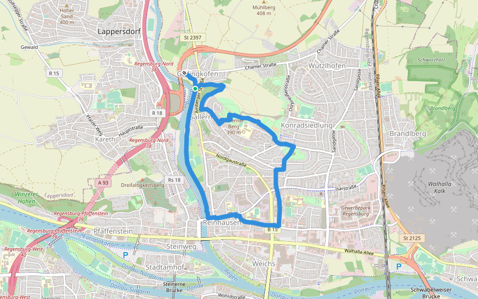
Klimaschutzweg Regensburg - Sallerner Berg Runde
Length 6.5 Km
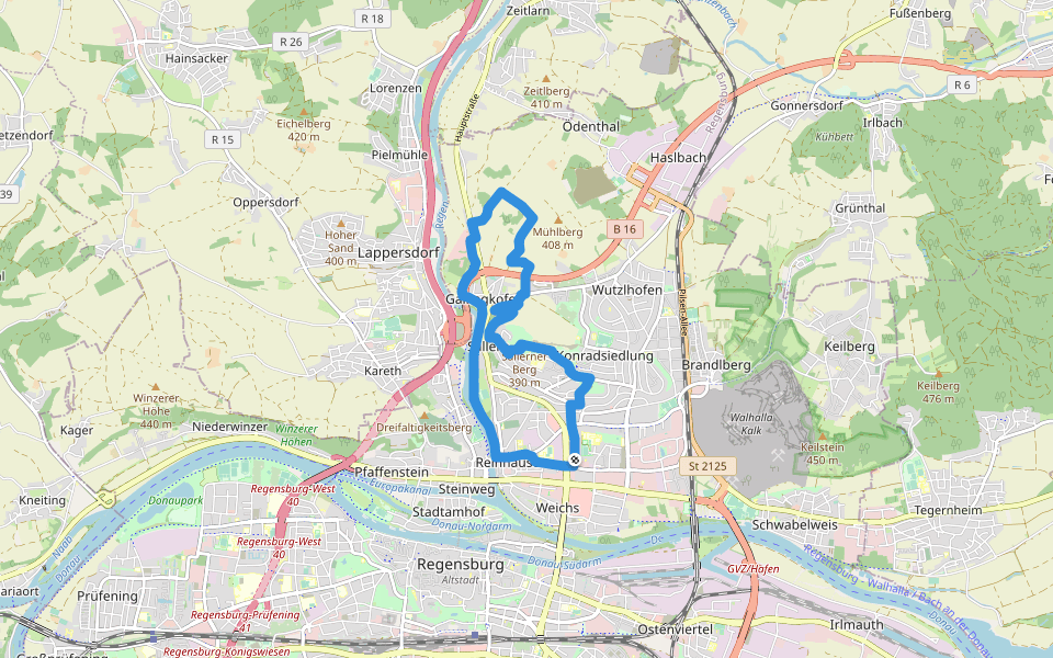
Klimaschutzweg Regensburg - Mühlberg Runde
Length 10.1 Km
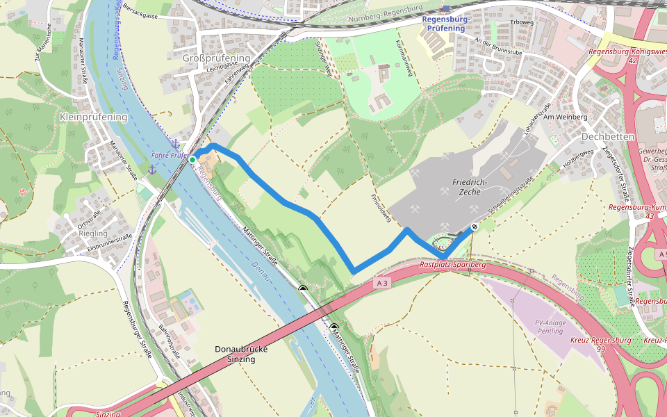
S 06 Regensburg-Dechbetten - Schwalbennest (Blaues Rechteck)
Length 1.6 Km
Wanderweg Regensburg-Dechbetten - Schwalbennest
Am Keilsteiner Hang
Length 0.2 Km

Donau-Radwanderweg
Length 4.0 Km

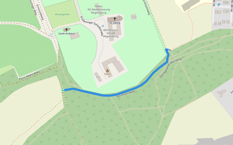
Kornmannweg
Length 0.4 Km
Mariaorter Brücke
Length 0.4 Km

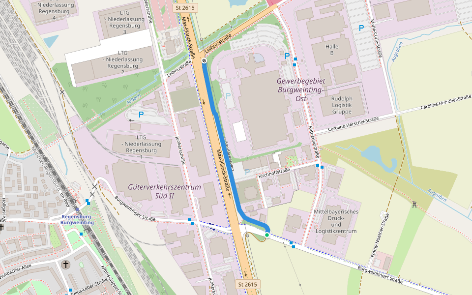
Sandackerweg
Length 0.6 Km
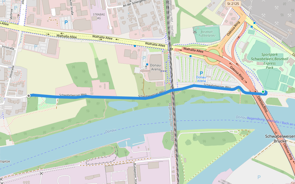
Schwabelweiser Weg
Length 1.3 Km


 5.0 · 1 Review


