


Westport Park


Length 1.2 Km

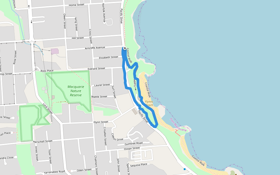
Flynns Beach
Length 1.4 Km
Great trail morning walk along Flynns Beach Port Macquarie.
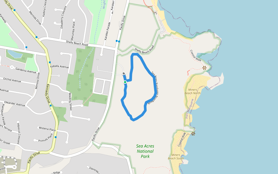
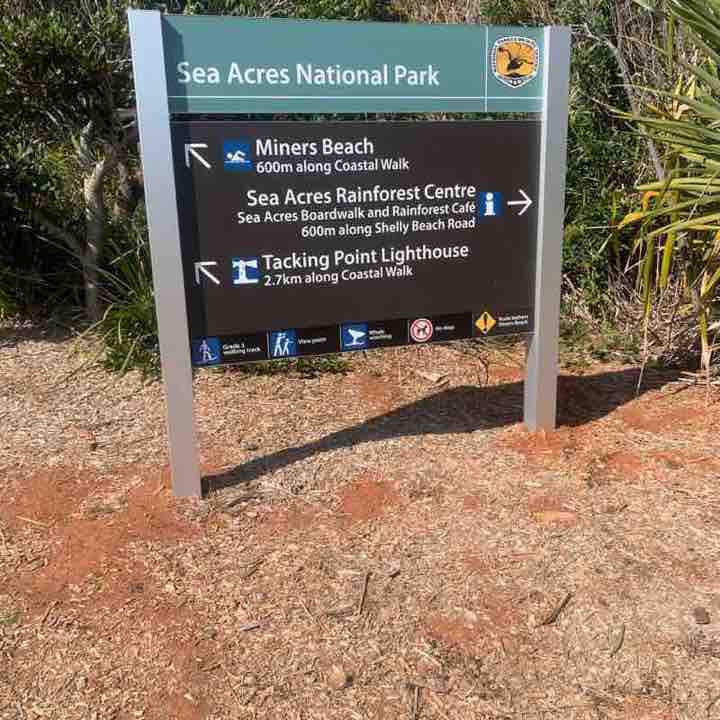
Sea Acres National Park-Coastal Walk
Length 15.4 Km

Sea Acres
Length 5.3 Km

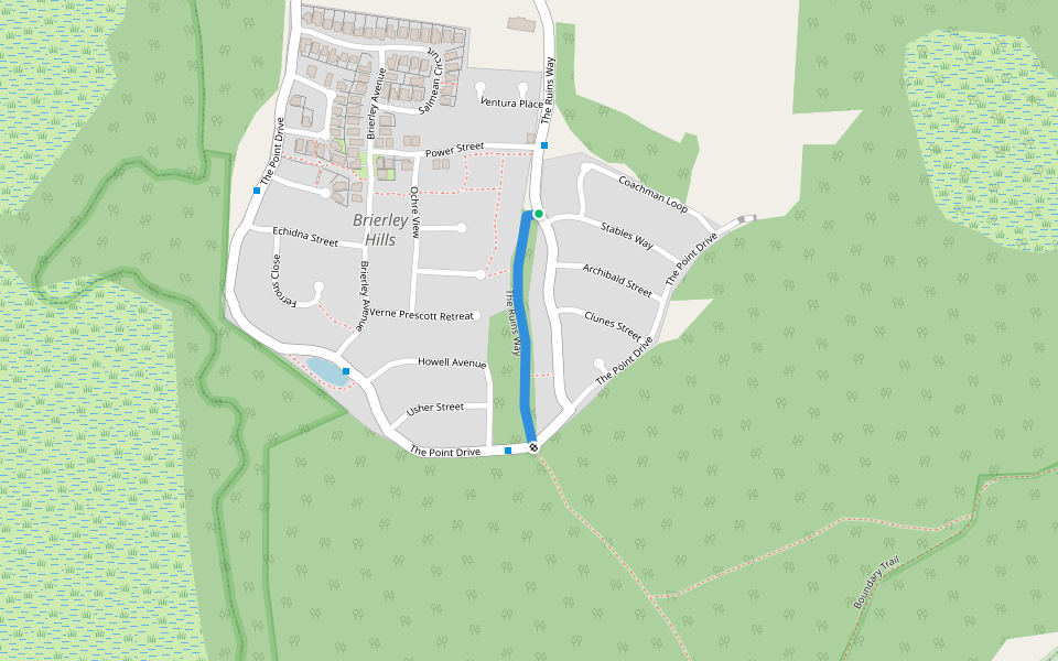
The Ruins Way
Length 0.5 Km
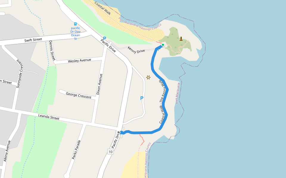
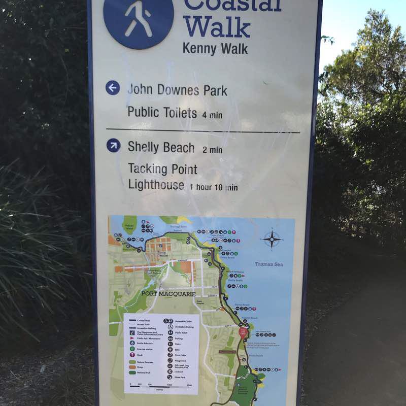
Coastal Walk - The Kenny Walk
Length 0.5 Km
Sea Acres Rainforest Boardwalk
Length 1.2 Km
Bee Eater Trail
Length 0.4 Km
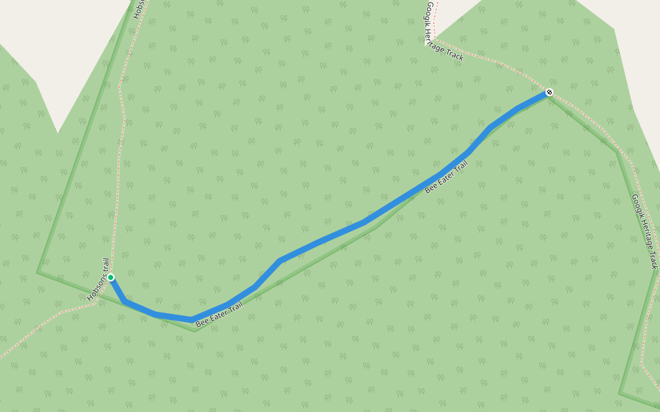
Hobsons trail
Length 0.9 Km
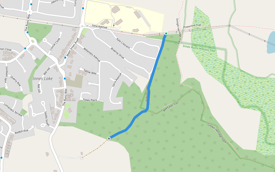
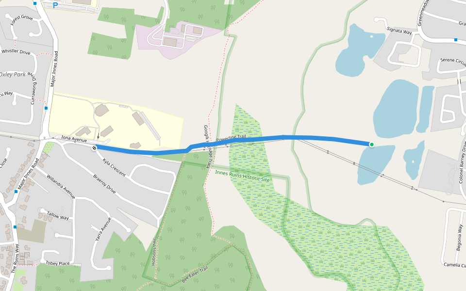
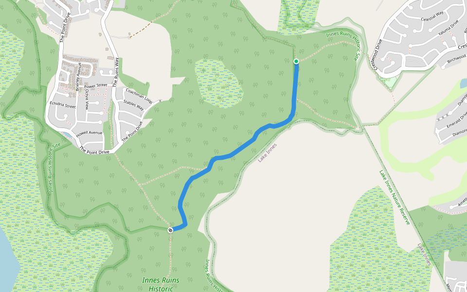
Googik Heritage Track
Length 5.3 Km

Powerline Trail
Length 1.2 Km
Marks Trail
Length 1.4 Km

Boundary Trail
Length 2.1 Km
Sea Acres Rainforest
Length 5.3 Km

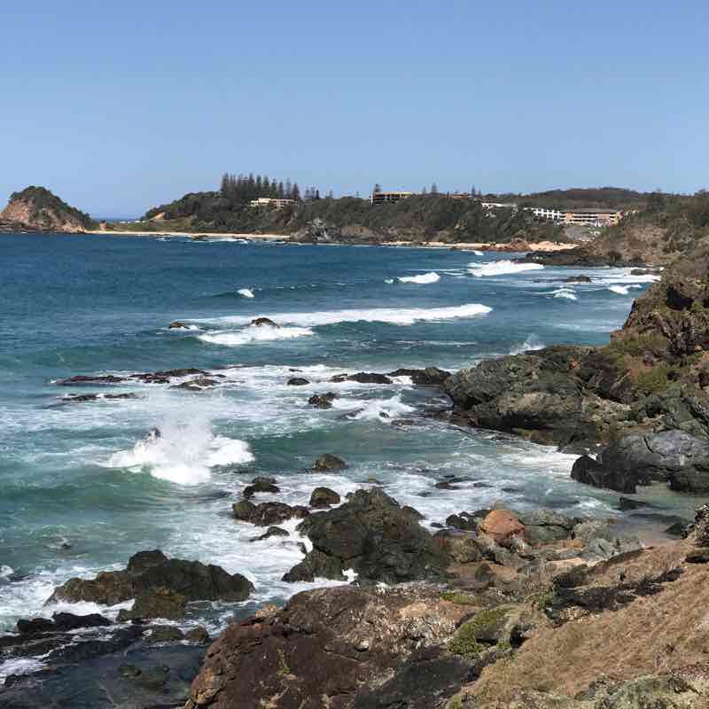
Coastal walk
Length 7.3 Km
Morning walk with Bro Ferdie and Sis Sulay
Length 3.6 Km
Great trail morning walk along Flynns Beach Port Macquarie.
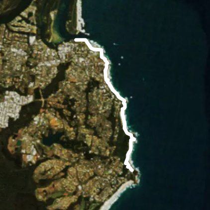
Port Macquarie Coast Walk
Length 15.4 Km
Great views. Gets the heart going
Port town to Windmill Hill lookout
Length 4.7 Km
The first part of the walk is flat with a concrete path suitable for wheelchairs and strollers but the last bit is narrow, rocky and sloping. The views are spectacular of the river (including a few dolphins) and the breeze on a warm spring day is enlivening. No need to walk on the sand as you pass by a couple of beaches as there are formed paths the entire length. I walked for half an hour before stopping at the lookout at the base of windmill hill before returning via the same route. You can even stop along the way for a drink as there are bubblers and coffee shops. A great walk at any time from sunup to sundown
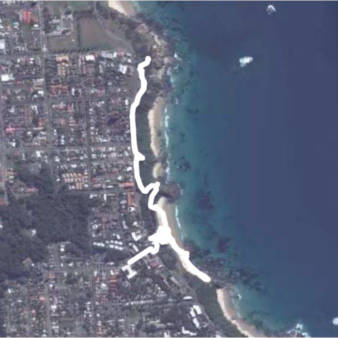
Port Macquarie Coastal Walk past Shelley Beach
Length 6.6 Km
Flynns Beach to Settlement City
Length 4.4 Km
There is a path all the way. However, at times the path is narrow and you need to walk single file. Parts of the path are flat and suitable for wheelchairs (ie along the river to the breakwall) but there are sections with stairs and hills. The scenery is stunning on a sunny day. It passes beaches and coffee shops along the way so you can stop and rest or swim if you like


 5.0 · 1 Review


