


Sawnee Mountain Preserve - Ridgeline Trail


Length 1.8 Km

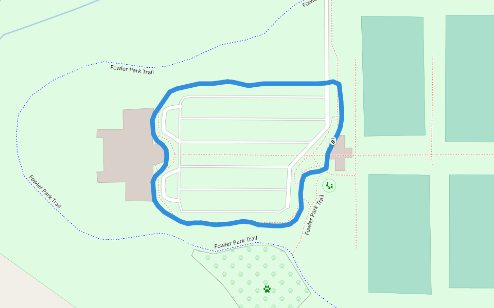
Fowler Park
Length 2.1 Km

Sawnee Mountain Preserve
Length 1.3 Km

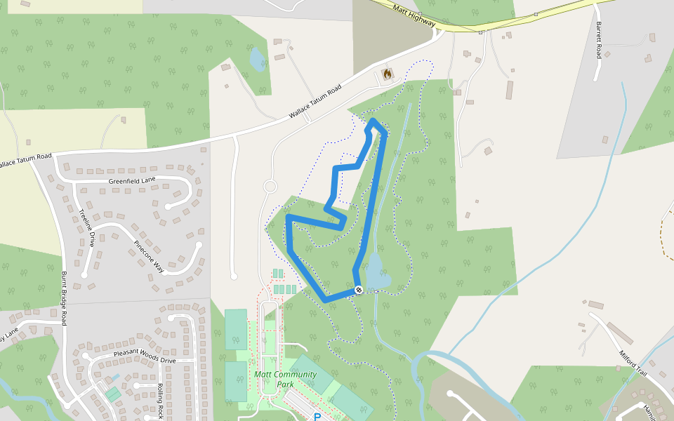
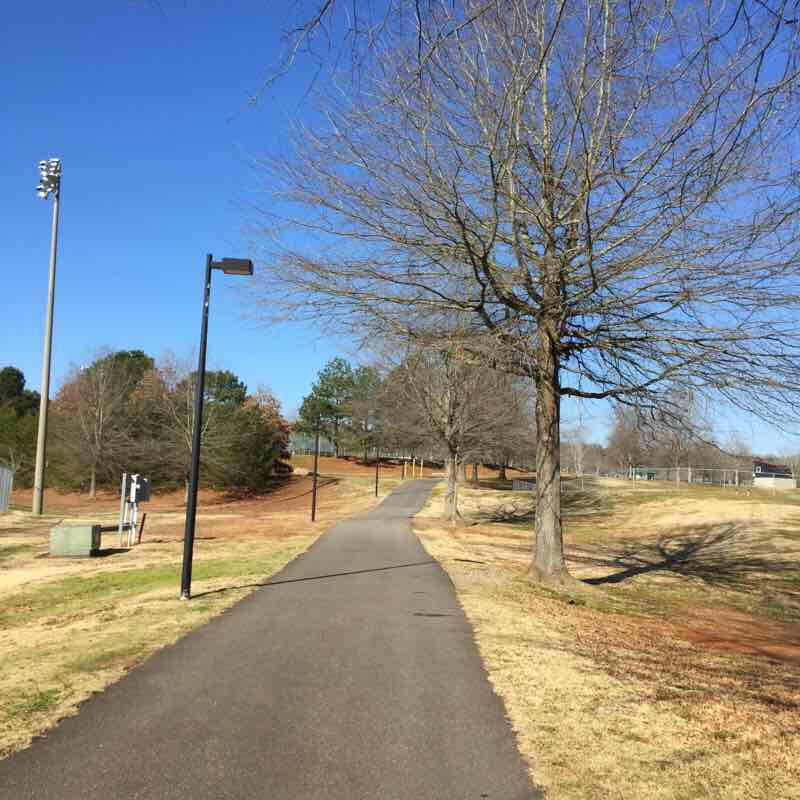
Coal Mountain Park walking trail
Length 1.6 Km

Fowler Park
Length 0.6 Km
Indian Seats Trail
Length 5.3 Km

Sawnee Mountain Preserve - Mountainside Trail
Length 5.3 Km

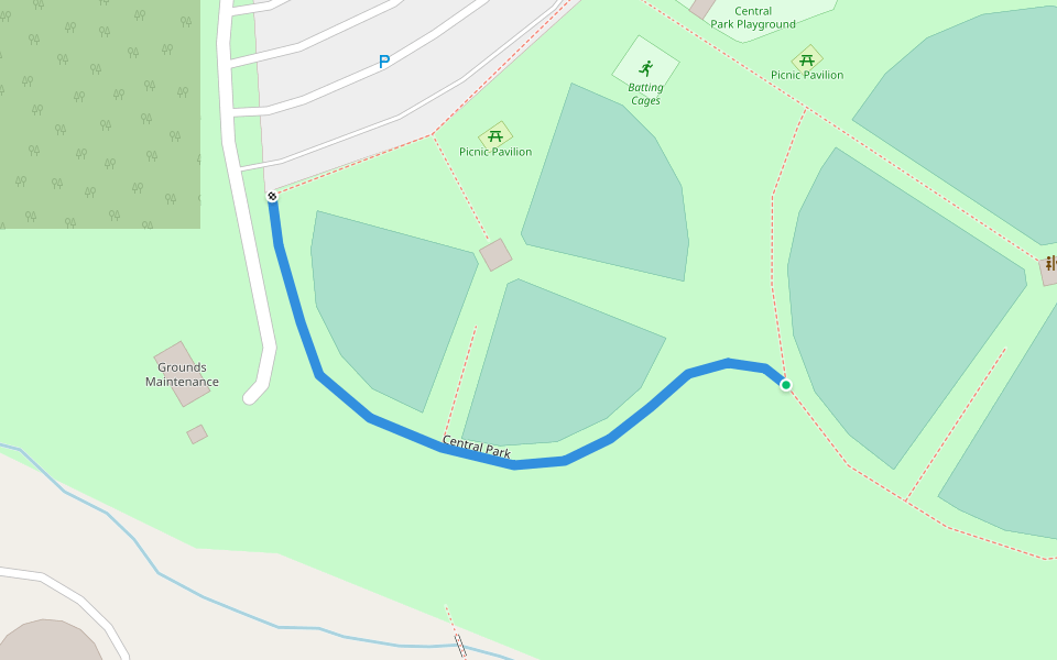
Central Park
Length 0.3 Km
Eaglet Trail
Length 0.3 Km

West Bank Park
Length 0.6 Km
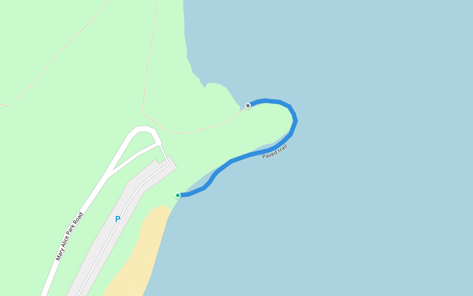
Paved trail
Length 0.2 Km
Yucca Trail
Length 0.3 Km

Ridgeline Trail
Length 1.6 Km

Red Trail
Length 1.4 Km
Mountainside Trail
Length 4.8 Km

Hilltop Trail
Length 2.1 Km

Sawnee Mnt Preserve Short
Length 3.4 Km
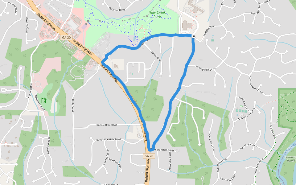
Haw Creek Park
Length 4.3 Km
Coal Mountain Park walking trail
Length 1.6 Km
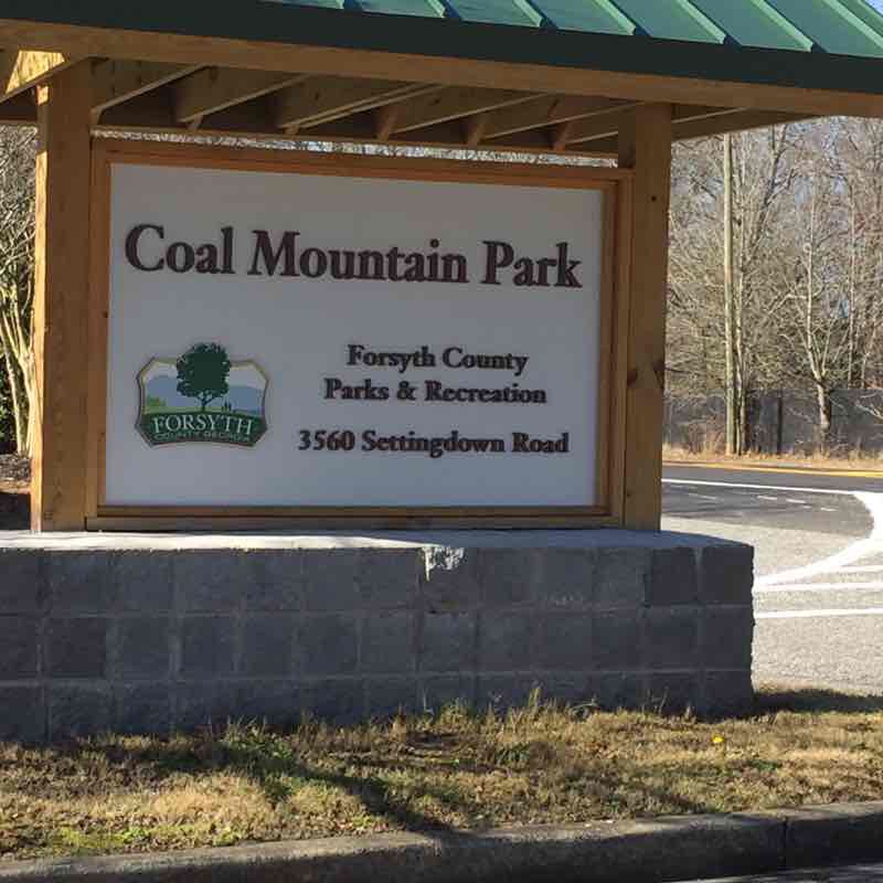
Coal Mountain Park is a multi use recreational facility off of Settingdown Road north of Cumming Georgia. It has multiple ballfields, tennis courts, and playgrounds. There are also multiple bathrooms with water fountains outside. You will find multiple places to sit and rest along this one mile trail. The trail is paved the entire way and has minimal elevation change. Dogs on leashes are welcome. Ample parking can be found in multiple parking lots along the trail.
Central Park Walking Trail
Length 1.7 Km
Central Park is a multi use recreational facility just north of Cumming Georgia. It has tennis courts, baseball fields, football fields, soccer fields, the gym for basketball, and frisbee golf. The walking trail is a mile loop that can be accessed from multiple parking areas. You can expect a wide paved trail with minimal elevation change. The park has multiple restrooms with drinking fountains outside. There are plenty of places to stop and rest along the trail. There is a large playground for the kids. Dogs are welcome on a leash.


 5.0 · 1 Review


