


Taman Awam Nilai


Length 0.8 Km

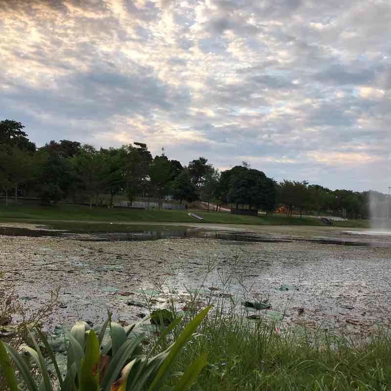
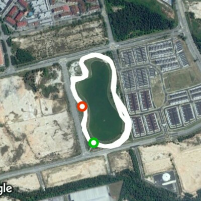
flood retention pond
Length 1.2 Km

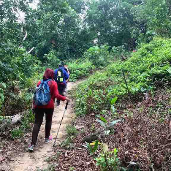
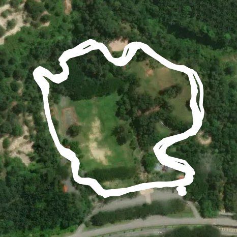
Bukit Melati
Length 3.0 Km
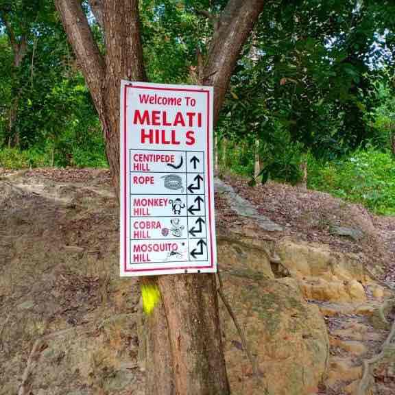
Melati Hill is located at Nilai, offering a safe & clean trail, suitable to beginner.
Melati Hill is located next to a residential area, and the trail is maintained by the community. Visitors can park along the road.
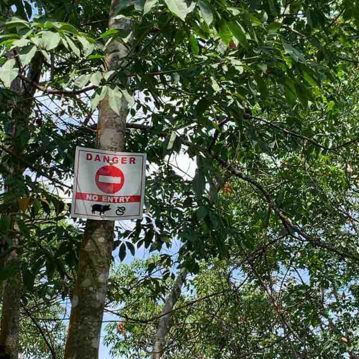
The entire hill is built with few checkpoint named Eagle Hill, Centipede Hill, Monkey Hill, Cobra Hill, Mosquito Hill and Rope trail.

Dataran Nilai
Length 0.4 Km

flood retention pond
Length 1.0 Km

Kompleks Sukan Tunku Najihah
Length 0.5 Km

OPEN MONEY
Length 3.1 Km
Public Value Values
Length 5.0 Km
City Lake of Seriemas
Length 3.0 Km
Lake Gardens Uses Dream Value
Length 3.2 Km
Melati Hill, Value
Length 5.3 Km
Melati Hill is located at Nilai, offering a safe & clean trail, suitable to beginner.
Melati Hill is located next to a residential area, and the trail is maintained by the community. Visitors can park along the road.
The entire hill is built with few checkpoint named Eagle Hill, Centipede Hill, Monkey Hill, Cobra Hill, Mosquito Hill and Rope trail.
Jasmine Hills
Length 4.0 Km
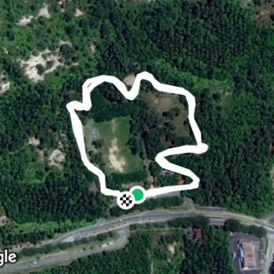
Hiking to the peak of few hills in this park. The trailhead is located at Bandar Baru Nilai some 40km from Kuala Lumpur City Centre .
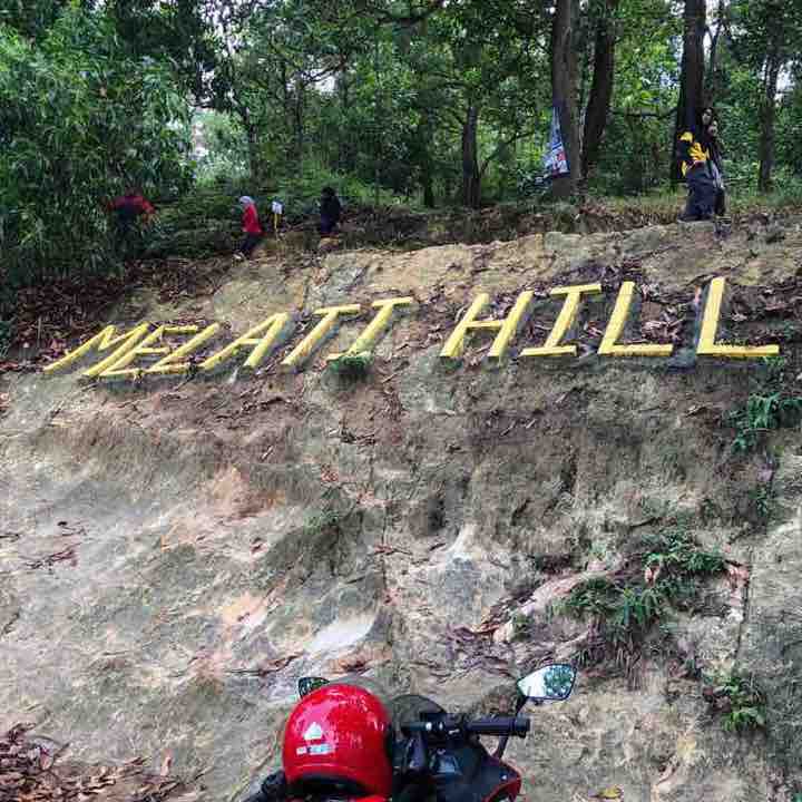
Bukit Melati Trail
Length 4.0 Km
The trail is near residential area in Nilai, Negeri Sembilan. It is a popular park among the locals. The park is packed with people during the weekends and public holidays.
It is suitable for the beginners and children. There are many trails to choose from and the highest peak is monkey hill although no monkey to be seen at the peak...
The trail is rather slippery after the rain...
Public Park Value
Length 1.9 Km
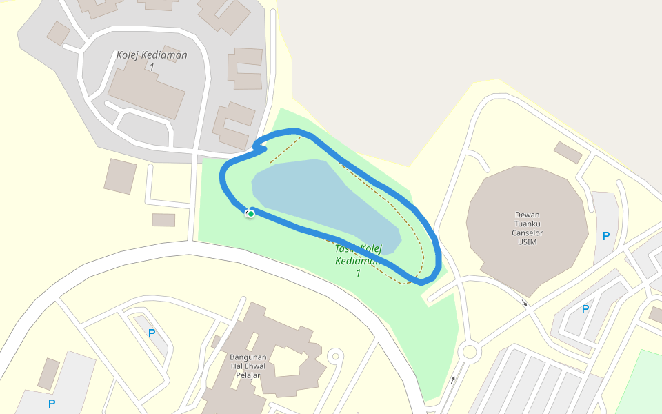
Universiti Sains Islam Malaysia
Length 0.5 Km

 4.5 · 13 Reviews


