


Villa Doria Pamphilj


Length 0.5 Km

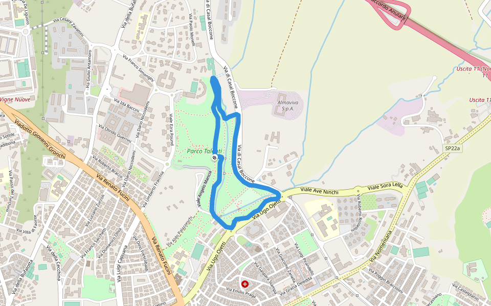
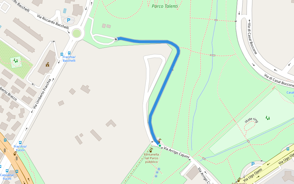
Parco Talenti
Length 2.8 Km
È un nuovo Parco in zona Talenti a Roma (nord-est). Ancora un po’ troppo assolato ma gli alberi 🌳 stanno crescendo. Accesso alla fine di via Ugo Ojetti. Il percorso è semplice e pianeggiante ma c’è la possibilità di fare una salita di 800 metri in nove tornanti, ci sono anche due piccole salite. Nel parco c’è una rampa di scale da 15 scalini che si può fare. Si segnala la presenza di una grande area cani e spesso gli stessi si trovano anche liberi nel resto del parco. Il percorso è prevalentemente su cemento (vialetto) ma ci sono anche tratti in terra.
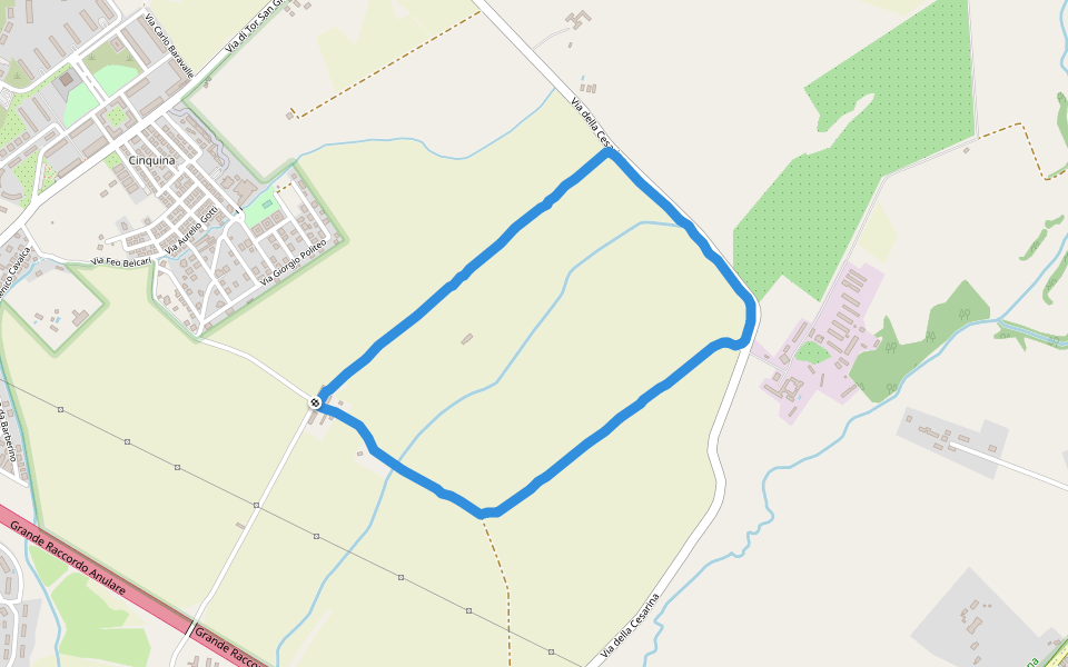
Parco delle Sabine
Length 1.1 Km

Parco delle Sabine
Length 2.1 Km

Parco delle Sabine
Length 1.3 Km
Nel cuore di Fidene, Roma nord, a ridosso dei capolinea degli autobus, sorge questo delizioso parco polmone pulsante .
All’interno esiste un laghetto, due campi da basket , due zone in recinzione di altalena e scivoli adatto a bimbi, per non dimenticare due aree per i nostri amici a quattro zampe posti e dislocati nelle parti opposte del parco.
L’unica nota negativa, come la maggior parte dei parchi e un po’ lasciato andare a se stesso.
Venitelo a trovare e buona corsa.
CIAo da Massimiliano.

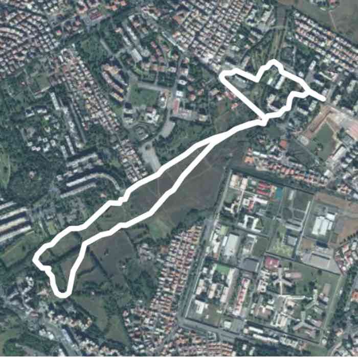
Parco delle Sabine
Length 5.4 Km
Nel cuore di Fidene, Roma nord, a ridosso dei capolinea degli autobus, sorge questo delizioso parco polmone pulsante .
All’interno esiste un laghetto, due campi da basket , due zone in recinzione di altalena e scivoli adatto a bimbi, per non dimenticare due aree per i nostri amici a quattro zampe posti e dislocati nelle parti opposte del parco.
L’unica nota negativa, come la maggior parte dei parchi e un po’ lasciato andare a se stesso.
Venitelo a trovare e buona corsa.
CIAo da Massimiliano.
Park sharpen
Length 4.6 Km
Settebagni
Length 10.1 Km
Riserva Naturale del Laurentino - Acqua Acetosa
Length 1.2 Km

Riserva Naturale della Marcigliana
Length 4.2 Km

Riserva Naturale della Marcigliana
Length 3.7 Km
Viale Angelo Mancia
Length 0.5 Km
Circonvallazione Tiburtina
Length 0.5 Km


 4.5 · 4 Reviews


