


Lac des Montagnès


Length 2.6 Km

Passa Pais Greenway
Length 76.5 Km
This is a great safe route for walking, cycling, horse riding. It is 76km Long from Mazamet Railway station to Bédarieux Railway station but it is very relaxing (there is a little steep bit in the middle that takes some effort) but a lot of very gradual ups and downs you hardly notice. A few cool tunnels - some short one long, mostly lit activated by sensors as you enter. We rode it in 2 halves one way and in one day on our return (it was dull and cool so easier than the 35 degrees for the first part of our trip). Lots of lovely shade and many shaded benches to take a break, have a picnic etc. (don’t forget to take your crap home with you!!) Just a very peaceful place to be. Nice towns and villages en route to explore as well as the caves at Courniou approx midway.

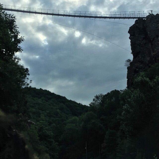
Hautpoul's footbridge
Length 9.5 Km
Lac des Montagnès
Length 3.8 Km

De la Manche aux Pyrénées 21, Mazamet - Portail de Nore
Length 15.5 Km
Des Vosges aux Pyrénées 10, Mazamet - Revel
Length 49.4 Km
Le sentier de grande randonnée 7 suit approximativement la ligne de partage des eaux qui sépare le versant mer Méditerranée du versant mer du Nord-Manche-Atlantique.

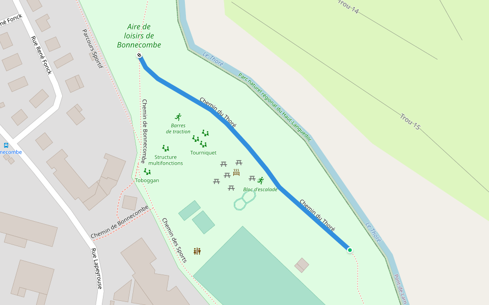
Chemin de Bonnecombe
Length 0.5 Km
Chemin du Thoré
Length 0.2 Km
Chemin du Linoubre
Length 0.5 Km

Chemin de la Jamarié
Length 0.3 Km

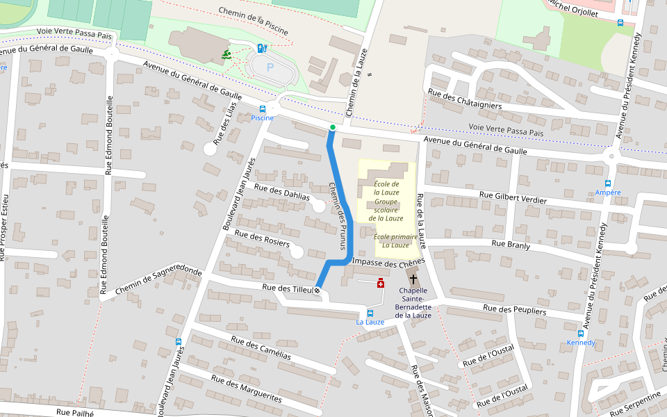
Chemin des Prunus
Length 0.2 Km
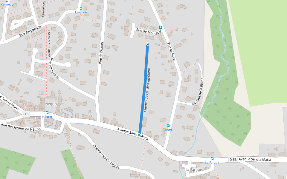
Chemin des Jardins du Coeur
Length 0.3 Km
Chemin de Prat Viel
Length 0.8 Km

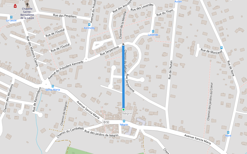
Chemin du Safran
Length 0.2 Km
Chemin de Labeouradou
Length 1.4 Km


 5.0 · 1 Review


