


lax aix les bains


Length 1.8 Km

Hippodrome d'Aix-les-Bains
Length 5.3 Km

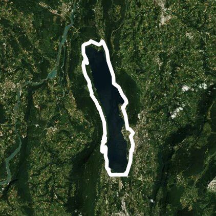
Bourget lake tour
Length 50.0 Km
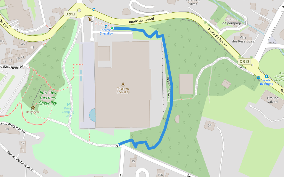
interdit au public
Length 0.3 Km
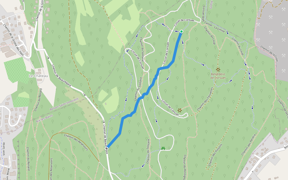
Chemin du Cellier Blanc
Length 0.4 Km

Corsuet Bike Center - Variante du Rocher
Length 0.8 Km
Corsuet Bike Center - La Face Cachée
Length 1.0 Km

Chemin des Écureils
Length 0.2 Km

Allée verte Georges Pompidou
Length 0.3 Km

Chemin du Rossignol
Length 4.5 Km

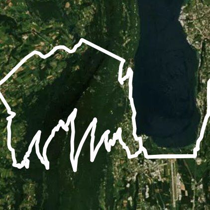
Tresserve -Drumettaz -Trevignîn-Forêt de Corsuet
Length 32.2 Km
Tour of Lac du Bourget by Vions, Chanaz .....
Length 57.4 Km
Tour du lac du Bourget par Vions chanaz Lucey Chandrieux Bourdeau Tresserve
Tour of Lac du Bourget by Chanaz
Length 56.2 Km

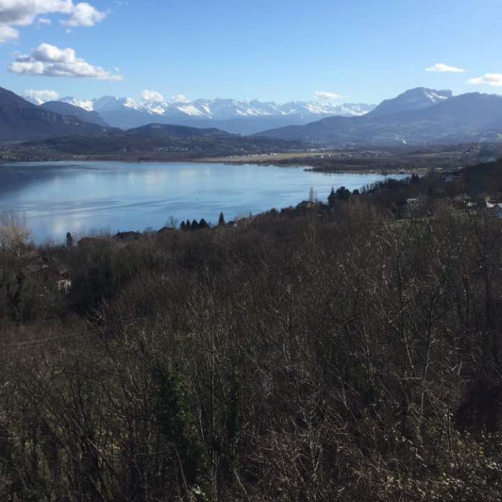
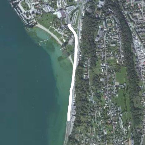
Lac du Bourget on the Aix-les-Bains side
Length 2.7 Km
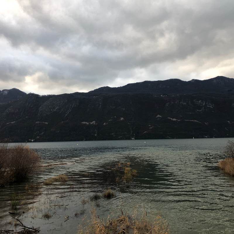
Une toute petite promenade de moins de 3 km aller-retour le long du lac du Bourget (qui fait plus de 18 km de long).
Je vous propose de commencer à partir d’un grand parking gratuit situé à proximité du « Petit Port d’Aix-les-Bains » pour finir au « Grand Port d’Aix-les-Bains » (sauf si vous faites l’aller-retour). Il suffit de partir sur la droite en longeant le lac, le panorama est magnifique et la promenade très prisée par les familles. Aucune voiture, la « route » est très fréquentée par les vélos, rollers et poussettes, mais la cohabitation avec les promeneurs se passe très bien car l’espace est très large.
Un peu d’activité (surtout en été) comme manège pour les enfants, restaurant ou crêpes, gaufrées, glaces, vin chaud...
Si vous y êtes pour le 14 juillet, vous pourrez admirer le feu d’artifice tiré depuis le lac, magnifique.
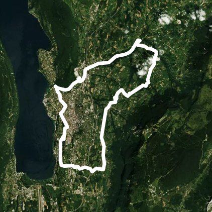
Tresserve-Aix-les-Bains - Trévignin-Gresy / Aix-Tre
Length 35.3 Km
Depart de Tresserve par la route du Revard en passant par pugny- Chatenod Trévignin et Grézy-sur-Aix et retour par forêt de Corsuet via Tresserve
Tresserve cat relay - St Paul / Yenne-Le Bourg
Length 50.5 Km
Lax aix baths
Length 1.8 Km
Tresserve-Grézy on Aix Trévignin- revard-Tresse
Length 61.1 Km
Tresserve-Lescheraines -col de Plaimpalais-StAlba-
Length 74.6 Km
Lake Tour
Length 50.4 Km


 5.0 · 1 Review


