Open in App
pacer logopacer logomenu

Best Walking Trails & Routes in Tumacacori-Carmen

Explore the best walking trails and routes in Tumacacori-Carmen. Explore scenic nature walks, urban adventures, and hidden gems right in your city. Start your journey today and uncover the best walking trails & routes near you with this curated list from Pacer Walking App.

Length
Showing 1 trail & route
Sorted by: Most Reviewed
Filters
Length

0~5 km

0~5 km

5~10 km

5~10 km

10~20 km

10~20 km

More than 20 km

More than 20 km

Frequently Asked Questions About Trails & Routes Near Tumacacori-Carmen

Which is the best trail or route to walk in Tumacacori-Carmen?
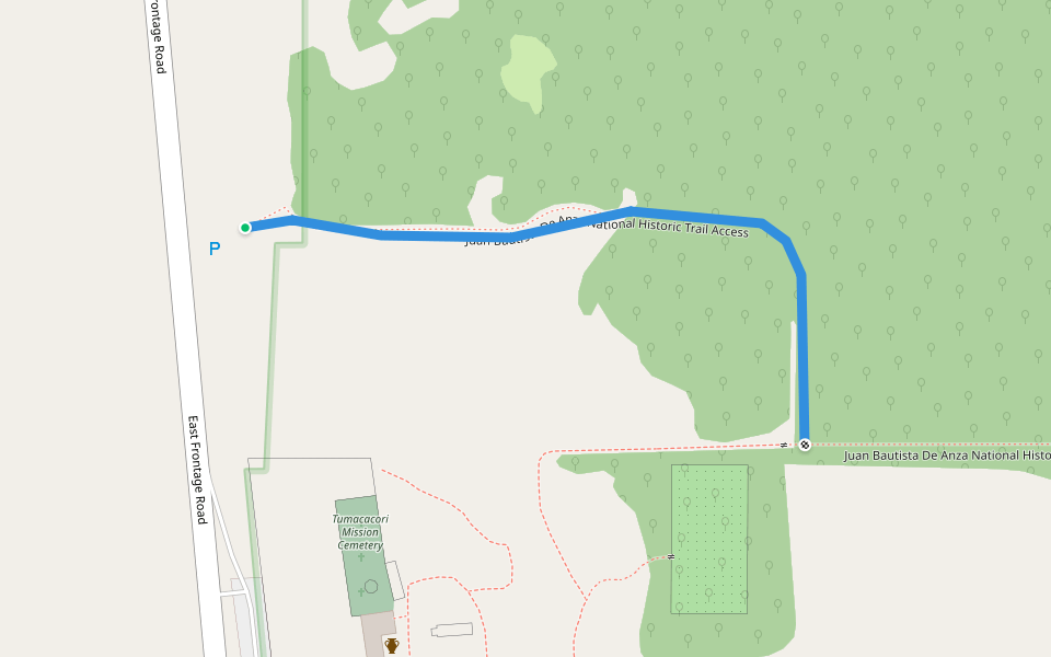
According to Pacer users, the best trail to walk in Tumacacori-Carmen is Juan Bautista De Anza National Historic Trail Access, which has a 4.0 star rating from 1 reviews. This walking route is 0.2 miles/0.4 km long.
What is the longest trail or route in Tumacacori-Carmen?
According to Pacer’s walking routes data, the longest walking routes in Tumacacori-Carmen is Juan Bautista De Anza National Historic Trail Access. This walking route is 0.2 miles/0.4 km long.
How many walking trails or routes are in Tumacacori-Carmen?
There are 1 walking trails or routes in Tumacacori-Carmen. These walking trails and routes have an average rating of 4.0 from users in the Pacer community.
How do I find walking trails or routes near me in Tumacacori-Carmen?
The best way to find walking trails or routes in Tumacacori-Carmen is with the Pacer Walking App. You can find walking trails or routes with real user activities, images, and reviews in Pacer. Just download the Pacer Walking App today and start exploring with the interactive map of walking trails and routes.
Last updated: Nov 17, 2026
pacer

Pacer Walking App

Pacer is the best walking app for walking step challenges and finding places to walk near me.