


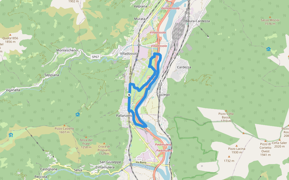
Fiume Toce


Length 9.1 Km
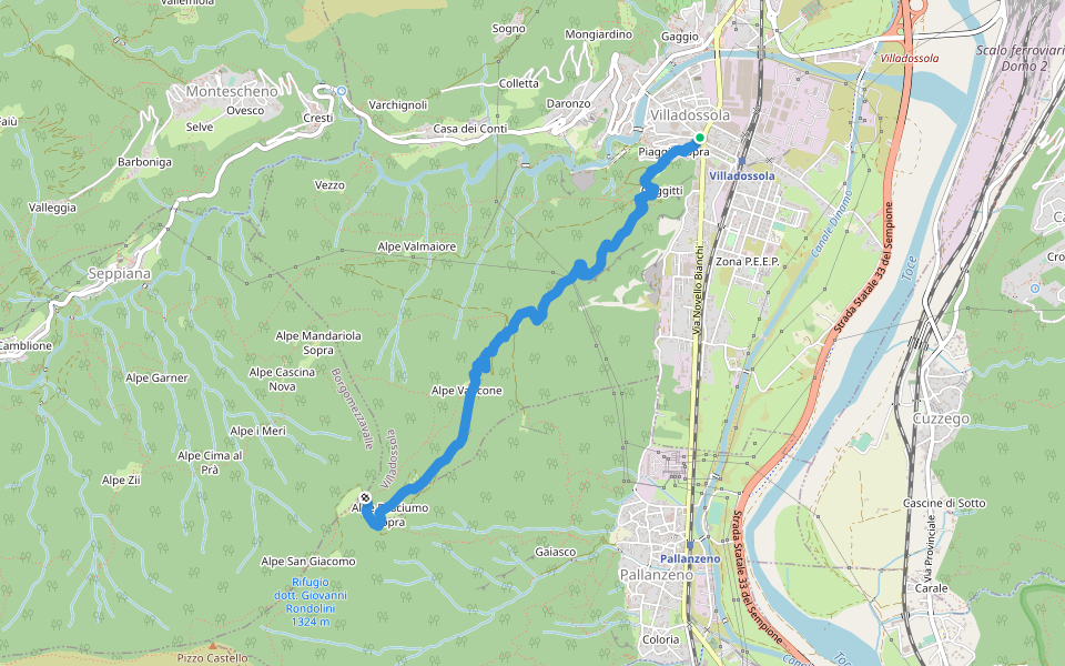
C01 - Villadossola-Alpe Baldana, bivio C05
Length 4.2 Km
Route from Villadossola, through the fractions of Piaggio Sopra and Gaggitti, going up, passing through the pastures of Corticcio, Basciumo Sotto and Sopra, reaches the Baldana alp. From here, joning with the path C01, you reach the S. Giacomo alp.
A03c - Rovaccio - Valpiana
Length 0.7 Km
Path on the ancient footway that connected the hamlets of Valpiana and Tappia with the valley bottom before the construction of the road

A03b - Collegamento tra A01 e A03
Length 0.8 Km
Connection between the paths A01 and A03, which allows to reach Tappia without passing through Valpiana

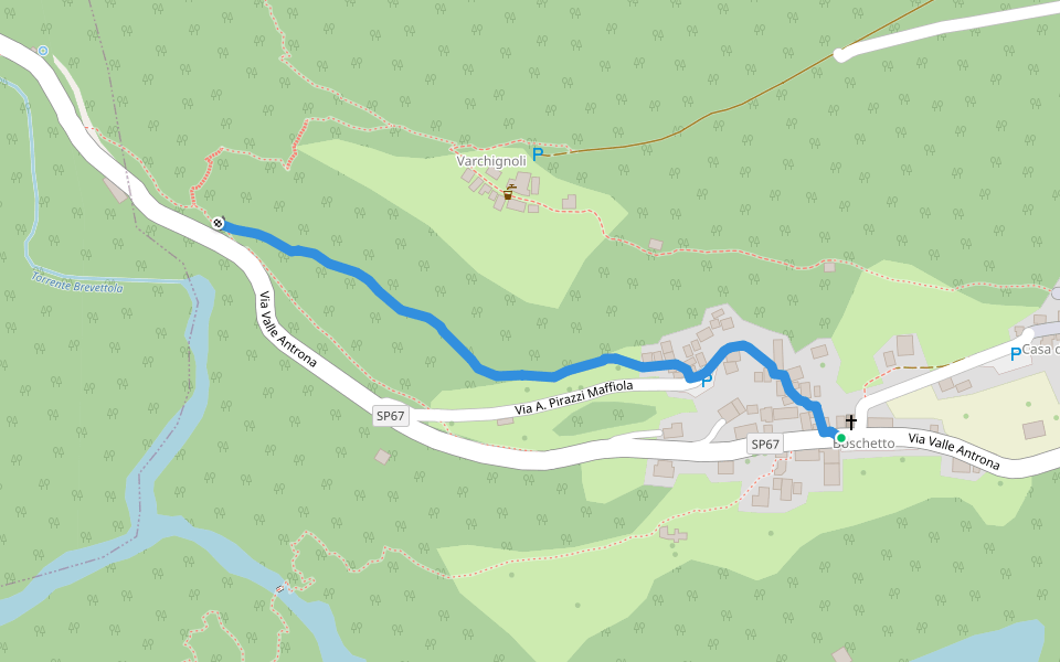
C00R - Boschetto - Cappella bivio per Varchignoli
Length 0.6 Km
C03B - Fontana verda - Pianasca, cippo
Length 0.2 Km
C03A - Chiesa del Piaggio - Falghera
Length 0.5 Km
C01V - Gaggiti sotto - Gaggiti sopra
Length 0.2 Km
C03C - bivio C03B - Pianasca, i casali, bivio C03
Length 0.0 Km
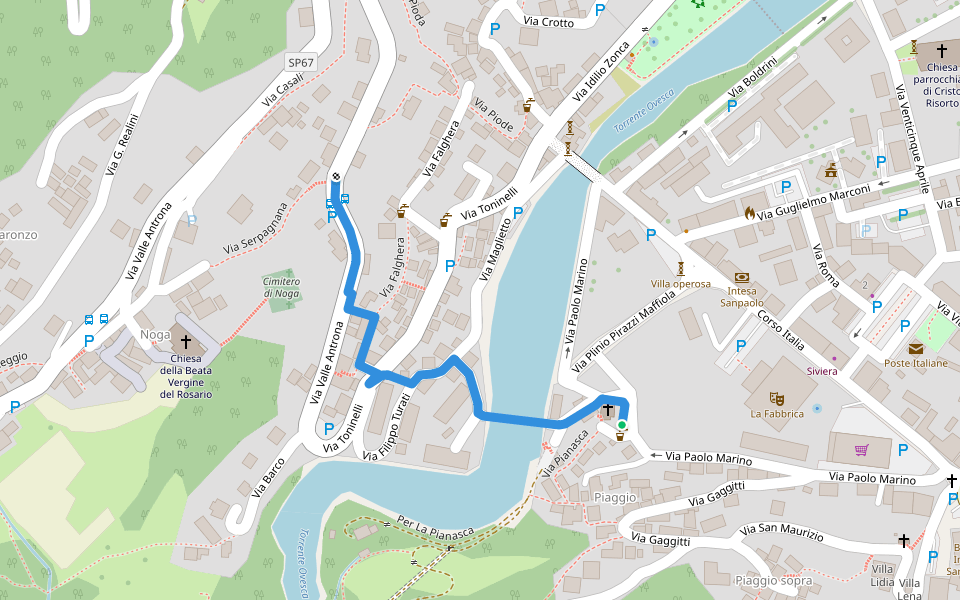
C03D - Falghera - Barco - Daronzo
Length 0.6 Km
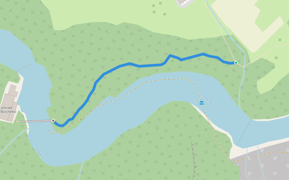
C03E - Barco - Torrente Ovesca, centrale idroelettrica
Length 0.3 Km
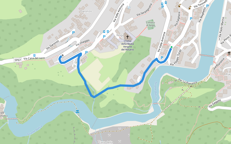
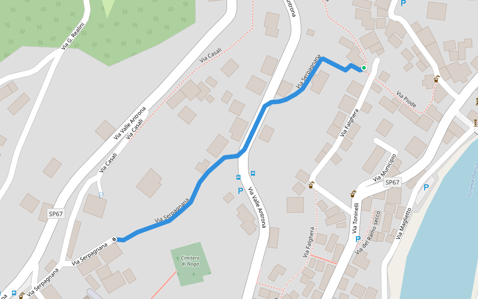
C00S - Villadossola - Noga (via Serpagnana)
Length 0.3 Km
C01R - Cappella di Gaggiti - Pianasca (i Casali)
Length 0.2 Km


 4.5 · 2 Reviews


