


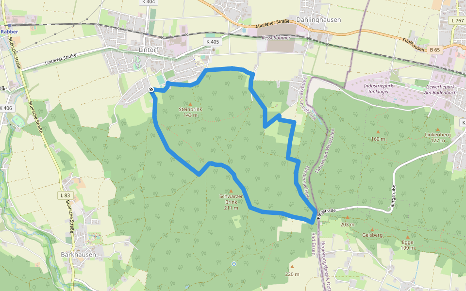
TERRA.track Schwarzer Brink (Hauptweg)


Length 7.0 Km
Wanderparkplatz Lintorf - Wanderparkplatz am Wiehenturm - Schwarzer Brink - Hartmannshütte - und zurück. Zwei Abkürzungswege, ein Zuweg zu Parkplatz "Schwarzer Brink"
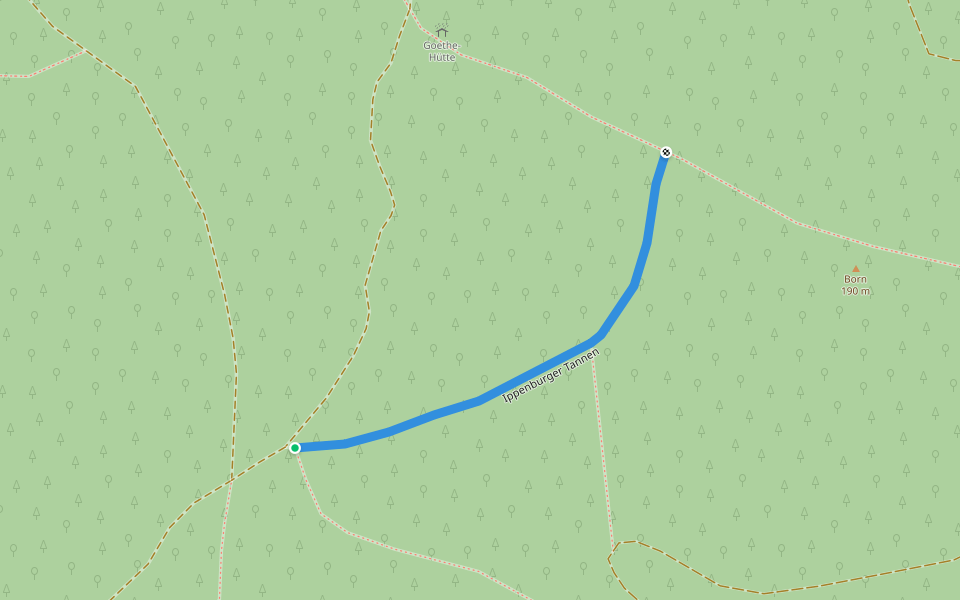
Ippenburger Tannen
Length 0.4 Km
Wiehengebirgsweg
Length 1.2 Km
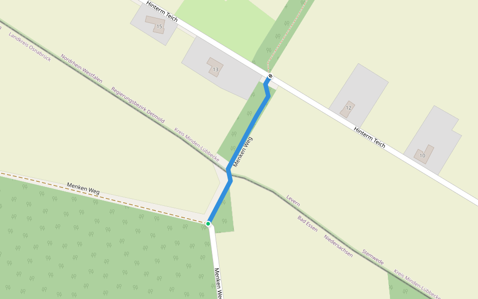
Menken Weg
Length 0.2 Km
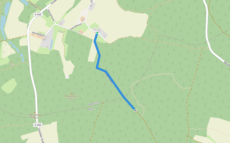
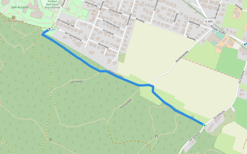
Norting Weg
Length 0.3 Km
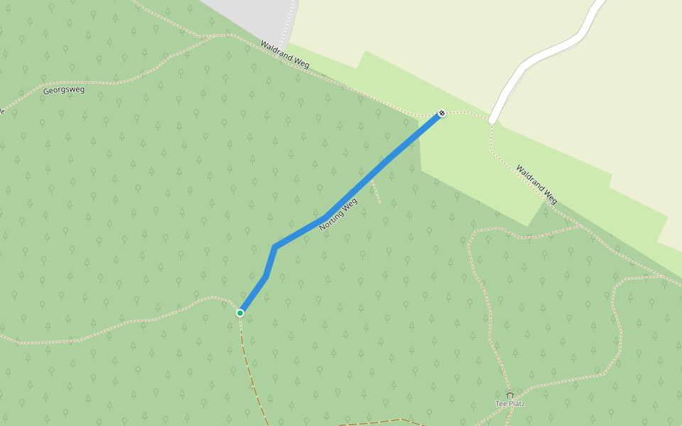
Waldrand Weg
Length 1.1 Km
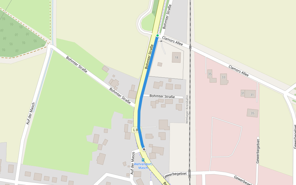
Bohmter Straße
Length 0.3 Km
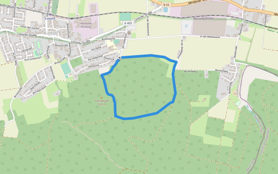
Lintorf Rundweg 4
Length 2.4 Km
Kurztour im Berg und am Waldrand
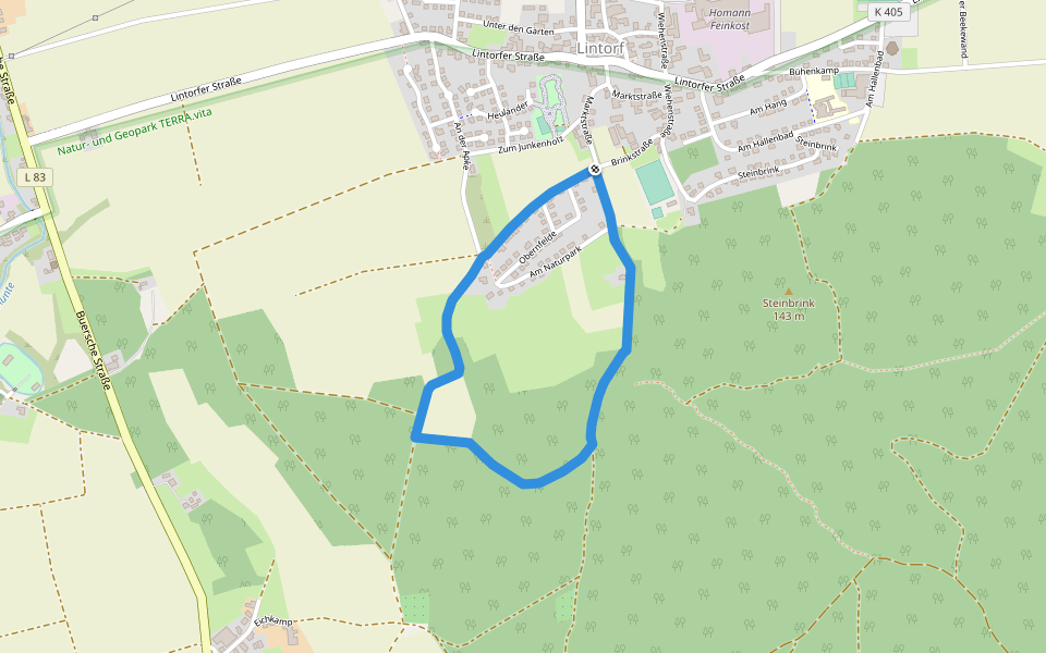
Lintorf Rundweg 2
Length 2.3 Km
Kurzer Rundweg am Berg
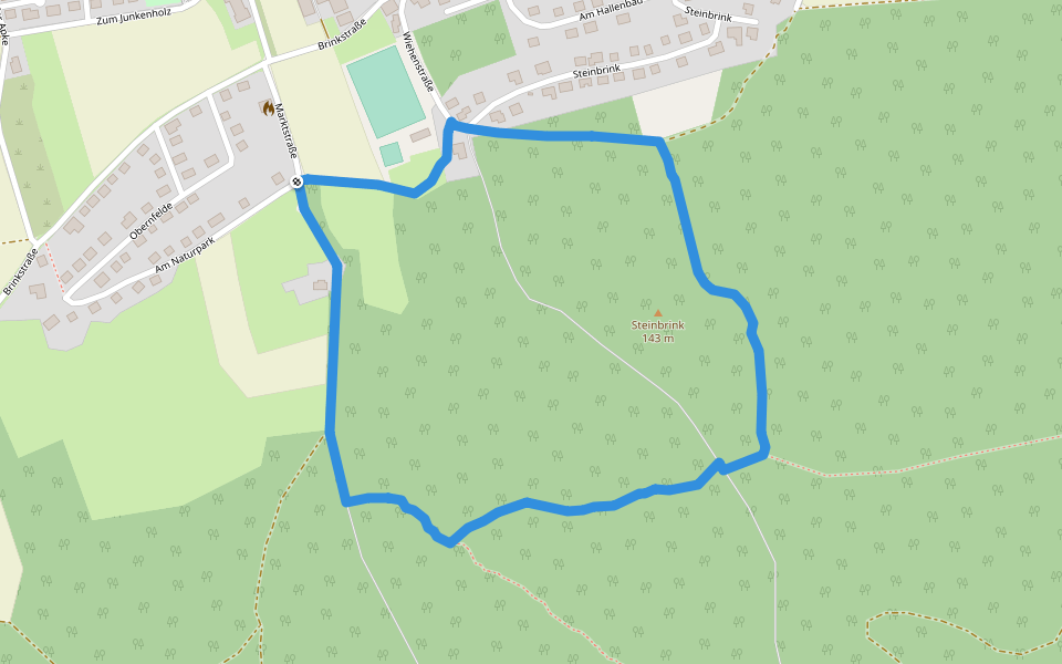
Lintorf Rundweg 3
Length 2.1 Km
Kurztour am Lintorfer Berg
Stiefmütter Weg
Length 6.0 Km

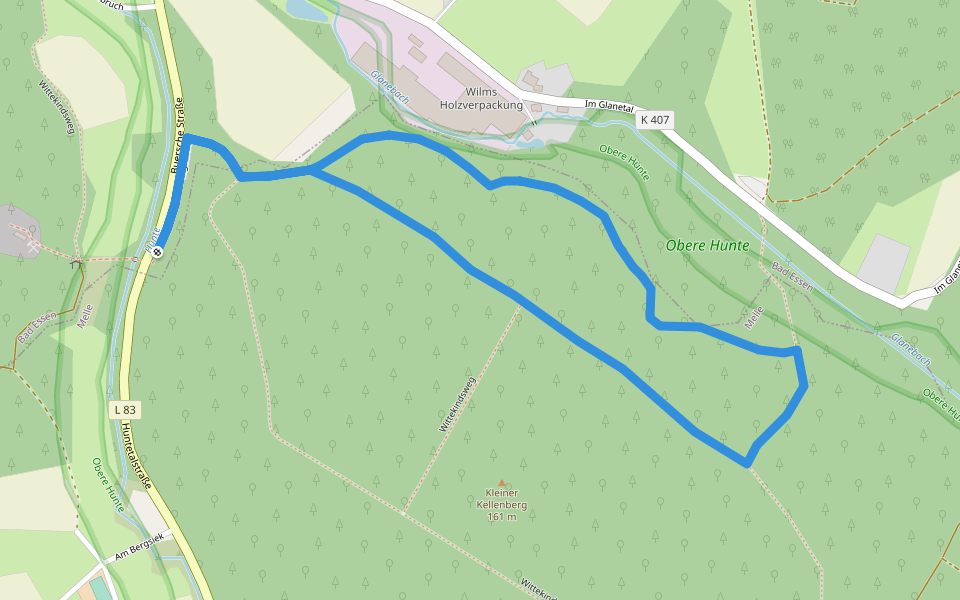
Rundweg Kleiner Kellenberg, Nordrand (9)
Length 2.6 Km
Rundweg im Wald zwischen Nordrand Kleiner Kellenberg und Glanetal. Der Weg ist zum Teil steinig, hat aber nur sehr geringe Steigungen. Er führt durch alte Nadelwälder, vornehmlich durch Fichten-Lärchen-Bestände am Nordrand des Kleinen Kellenberges. Parkpl
Lintorf Rundweg 1
Length 2.7 Km
Rundweg zwischen Lintorf und schwarzem Brink

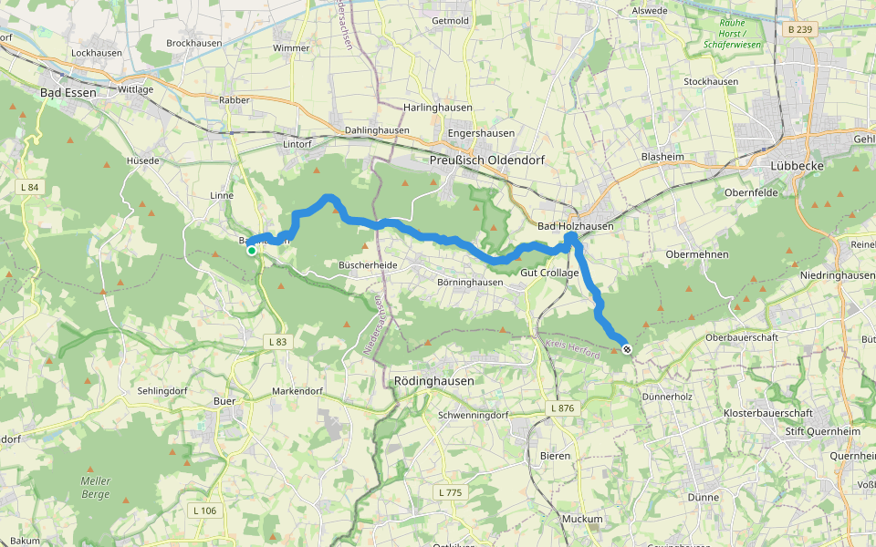
Nordvariante Wittekindsweg
Length 14.5 Km
14 km lange Nordvariante Wittekindsweg über den Kamm der Egge mit Wiehenturm und Burgruine Limberg.
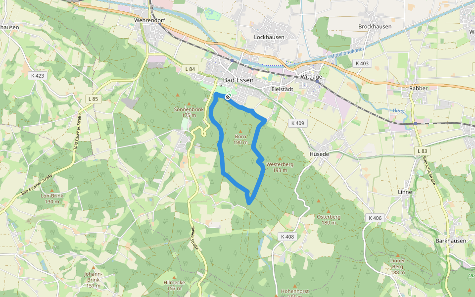
Rundwege Bad Essen (7)
Length 6.8 Km
Parkplatz Sole-Freibad, Waldrandweg, Eielstädter Mühle, Eielstädter Schlucht, Schierenhorsthütte, Köhlerhütte, Wildstein, Grosser Stern, Ludwigsweg, Waldrandweg, Parkplatz Sole-Freibad
5
Length 3.5 Km
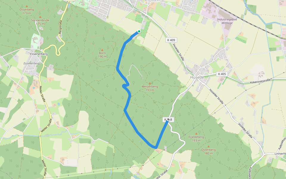
Rundwege Bad Essen (2)
Length 8.1 Km
Parkplatz Sole-Freibad,
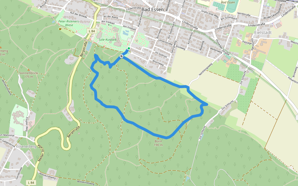
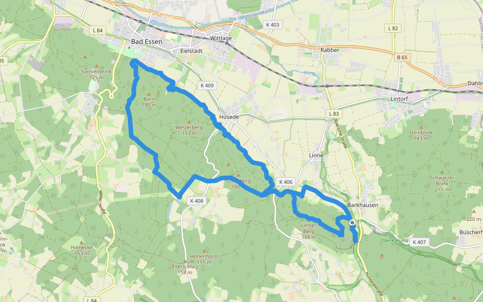
Rundwege Bad Essen (1)
Length 3.3 Km
Parkplatz Sole-Freibad, Waldrandweg, Ludwigsweg, Eichendorff-Denkstein, Born-Goethehütte- Ippenburger Tannen, Eielstädt, Waldrandweg, Parkplatz Sole-Freibad
Bad Essener Rundweg
Length 22.9 Km
Der 50 km lange Rundweg ist in jeder Hinsicht abwechslungsreich und bietet kulturelle wie auch naturbezogene Highlights, von Sauriern bis zu Schlössern.
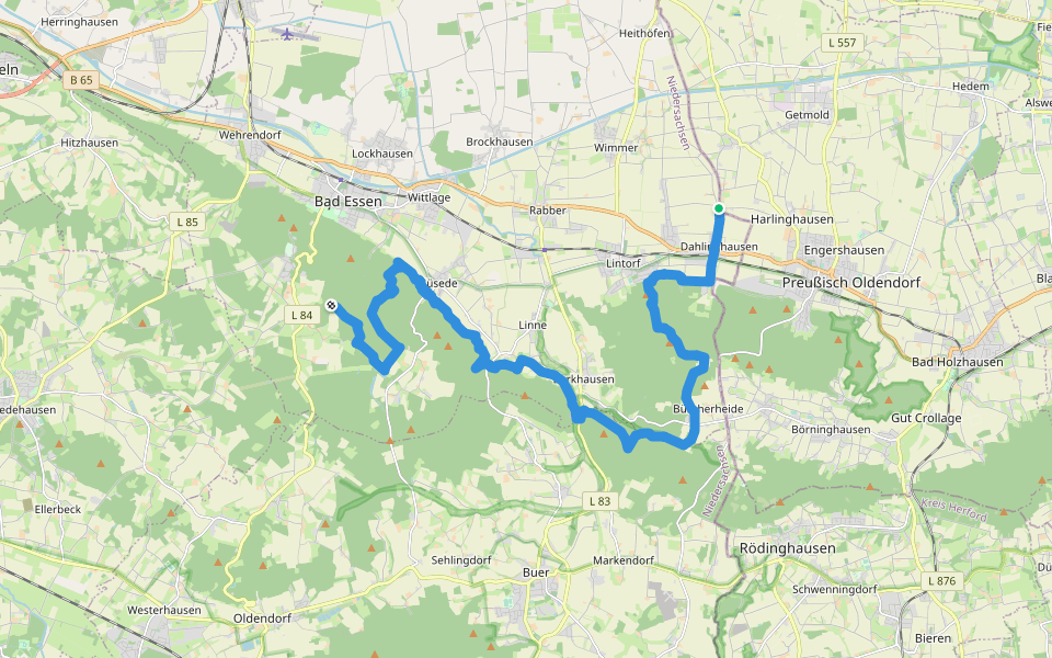
TERRA.track Megalosaurus
Length 18.9 Km
Durch das Wiehengebirge von Bad Essen - Saurierfährten bei Barkhausen - und zurück


 4.5 · 3 Reviews


