


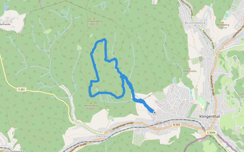
Schwarzbergweg


Length 7.2 Km
Wanderweg blauer Strich
Length 2.2 Km
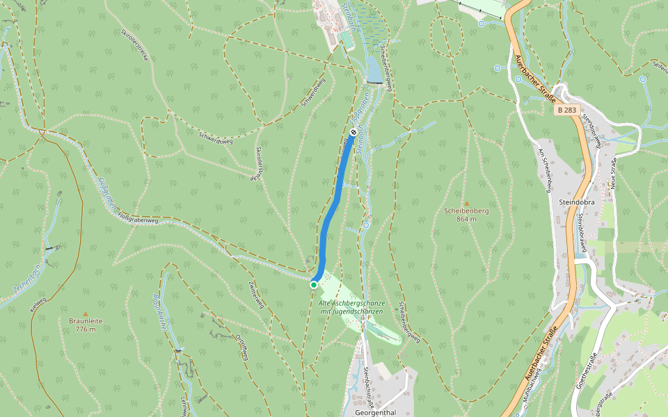
[Ž] Rozc. pod Aschbergem - Bublava
Length 1.4 Km
![[Ž] Rozc. pod Aschbergem - Bublava walking route map in Klingenthal](https://cdn.pacer.cc/route/screenshot/osm_1738985.png)
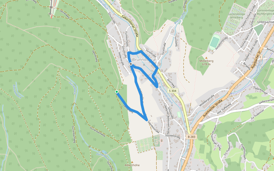
Höhensteig - Rundweg Klingenthal-Zwota
Length 2.4 Km
[Ž] Bublava (CZ/D) - Bublava (pam.)
Length 0.9 Km
![[Ž] Bublava (CZ/D) - Bublava (pam.) walking route map in Klingenthal](https://cdn.pacer.cc/route/screenshot/osm_4145527.png)
[Z] Hraničná (CZ/D) - Kraslice
Length 4.6 Km
![[Z] Hraničná (CZ/D) - Kraslice walking route map in Klingenthal](https://cdn.pacer.cc/route/screenshot/osm_4165854.png)
Spitzbergweg
Length 0.9 Km
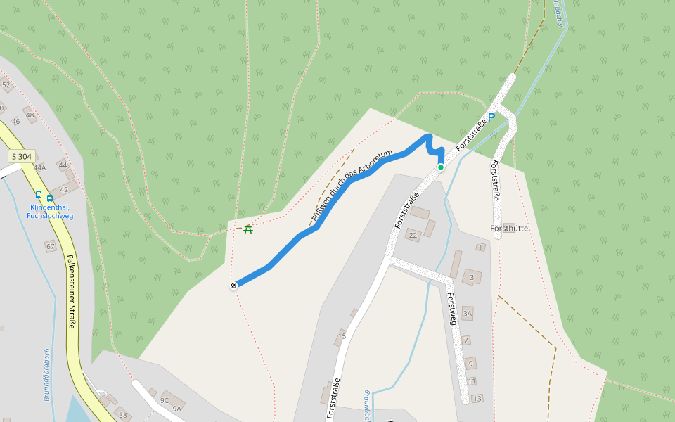
Fußweg durch das Arboretum
Length 0.3 Km
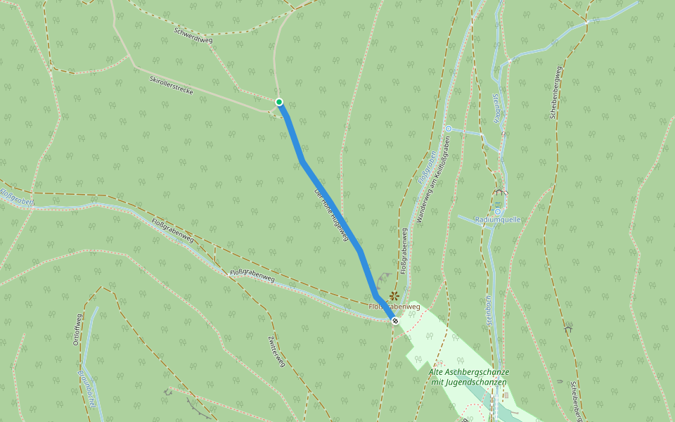
Der Hohe Hügelweg
Length 0.5 Km
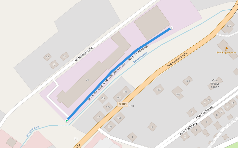
ehem. Schmalspurbahn Klingenthal–Sachsenberg-Georgenthal
Length 0.2 Km
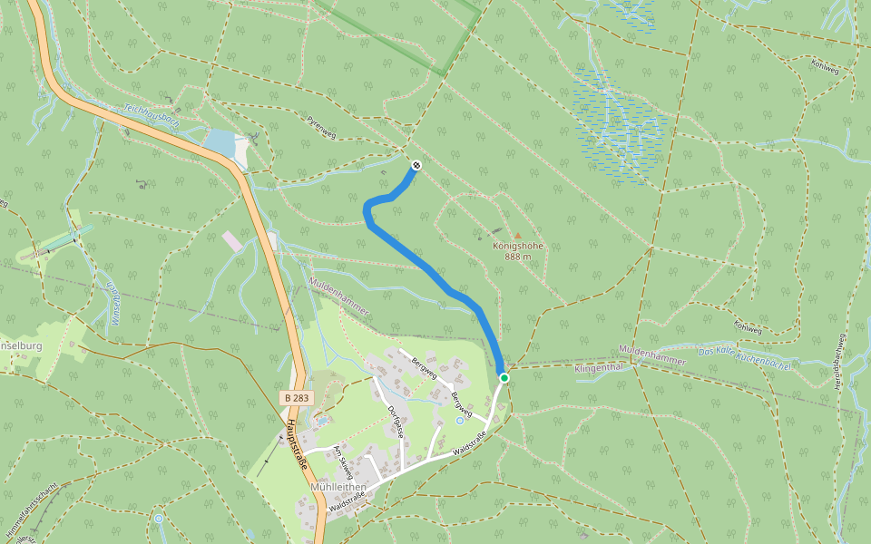
Pyrenweg
Length 1.0 Km
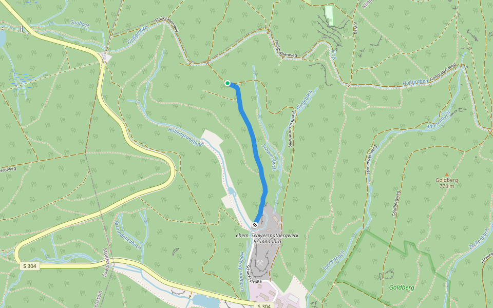
Wanderweg am Keilfloßgraben
Length 0.7 Km
Dürrenbachsteig
Length 0.3 Km


 4.5 · 1 Review


