


Via S Marta


Length 7.6 Km

Sentiero Italia - Tappa D01
Length 29.2 Km
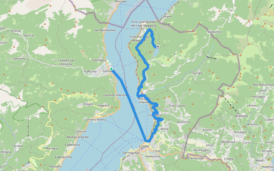
S03 'Via delle Genti': tratto Cannobio - Cannero Riviera
Length 7.4 Km
Historic "Via delle Genti", route from Cannobio to Cannero. Evocative villages and lush woods. Panorama on Lake Maggiore and the Castles of Cannero. To note the medieval village of Carmine Superiore with the church of San Gottardo (XIV century).

S00 Cannobio - Finero
Length 21.5 Km
From Cannobio to Finero,a long route on the Via Borromea in Val Cannobina on the left bank of the valley.A walk in the chestnut groves between the localities of the valley meeting tabernacles,votive crosses and chapels linked to the passage of the saint.

S02 Cannobio - San Bartolomeo Valmara
Length 6.7 Km
From Cannobio to San Bartolomeo Valmara, walking first on the long lake of Lido di Cannobio and then on the "Via delle Genti" through Campeglio, Cinzago, San Bartolomeo in Montibus with its beautiful ancient church of Romanesque origin, Formine.

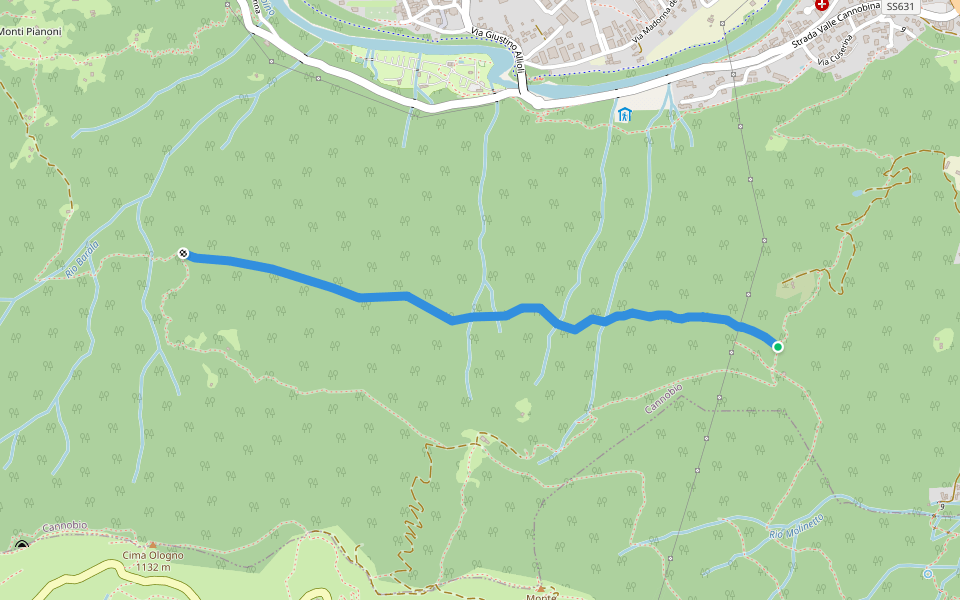
S02a Cannobio Lignago - bivio S02 Darbedo/Campeglio
Length 1.0 Km
Section of the "Via delle Genti" between the S02 crossroads at Casali Lignago and the S02 crossroads on the climb between Casali Darbedo and Campeglio, hamlets of Cannobio.

S02b Cannobio Lignago - Sant'Agata - Campeglio
Length 3.1 Km
From Cannobio to Sant'Agata, "balcony of Lake Maggiore", passing through Gerbia and I Ronchi, through woods and terraces, to the crossroads of S02 in Campeglio.

S05 Cannobio - Monte Carza
Length 3.8 Km
From Cannobio (Casali Bagnara) you go up to Piatè, you pass near a little lake and the source of Acqua Minerale. Subsequently to the Masarecci huts and the Pro Redond farm to then exit on the ridge at the crossroads with R40 for Monte Carza.

S03v Cannobio Centro città - Cannobio bivio S03
Length 0.3 Km
From Cannobio town center, near the Church of San Vittore and the bus stop, at the crossroads of S03 for Cannero and nearby crossroads S05 for Monte Carza.

Alta via per i Pianoni-Masarecci
Length 2.1 Km
Old path that connects Masarecci with Pianoni now in disuse. Not easy to travel


 4.5 · 2 Reviews


