


Area Naturalistica "Lago Tana"


Length 2.0 Km

G00 - Via del Gries - Tappa 1 - da Crevoladossola a Baceno
Length 13.5 Km
The route follows beautiful mule tracks, a stretch of dirt track after Pontemaglio and village streets within the hamlets

G00b - Crevoladossola - Oira
Length 3.6 Km
Variant to the Via del Gries which crosses the high villages on the right bank of the Toce river while the Via del Gries remains below near the river

A09 - Crevoladossola - Alpe Colmine
Length 8.3 Km

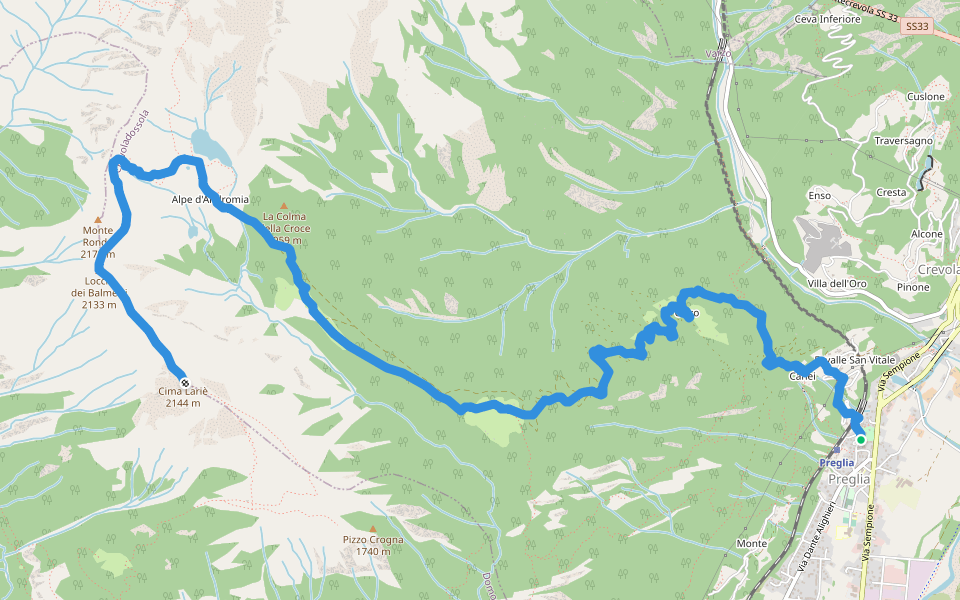
A07 - Preglia - Cima Lariè
Length 10.4 Km


 4.5 · 2 Reviews


