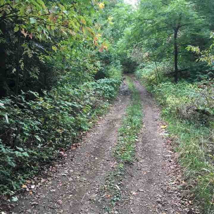
Open in App
pacer logopacer logo
Try Pacer for Free
menu

Best Walking Trails & Routes in Honeywood

Explore the best walking trails and routes in Honeywood. Explore scenic nature walks, urban adventures, and hidden gems right in your city. Start your journey today and uncover the best walking trails & routes near you with this curated list from Pacer Walking App.

Length
Showing 5 trails & routes
Sorted by: Most Reviewed
Filters
Length

0~5 km

0~5 km

5~10 km

5~10 km

10~20 km

10~20 km

More than 20 km

More than 20 km
Mulmur
star
star
star
star
star
1
Length 8.8 Km
Map 21 of the BTRG. This route runs south from the 30th sdrd to county road 21. There is a parking lot on the south side of the 30th sdrd. It's a short walk west to the trail. Head south to county road 21 and return. This was my first time on this route. It won't be my last. This is a unmaintained rd. No traffic. Very pretty. Easy walking. Good place to take your kids. Walk on .
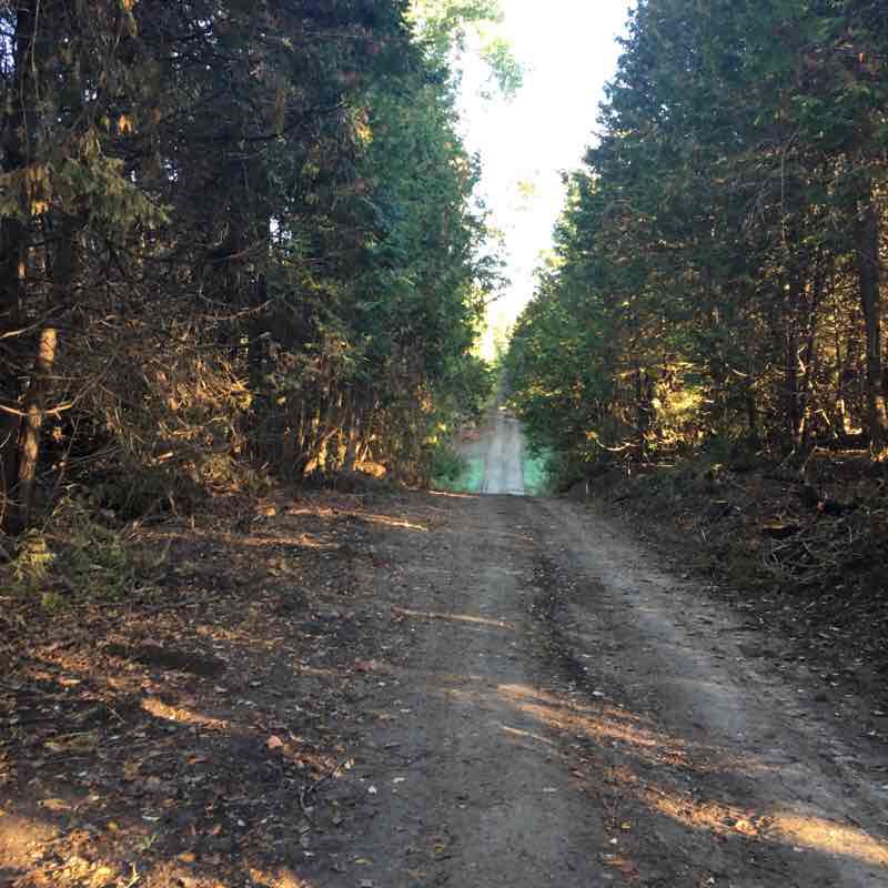
Mulmur walking route map in Honeywood
Lavender
star
star
star
star
star
1
Length 10.6 Km
Mulmur 30th sdrd to Noisy River PNR. Map 21 of the BTRG. This route is mostly on the road so it's easy walking. The park section can be difficult in spots. Very rocky. Lots of crevices. And some stunning views. I hiked Noisy River from the north a few years ago but fell and had to turn back. So this was unfinished business for me. The road walk is very nice with little traffic. Walk on .
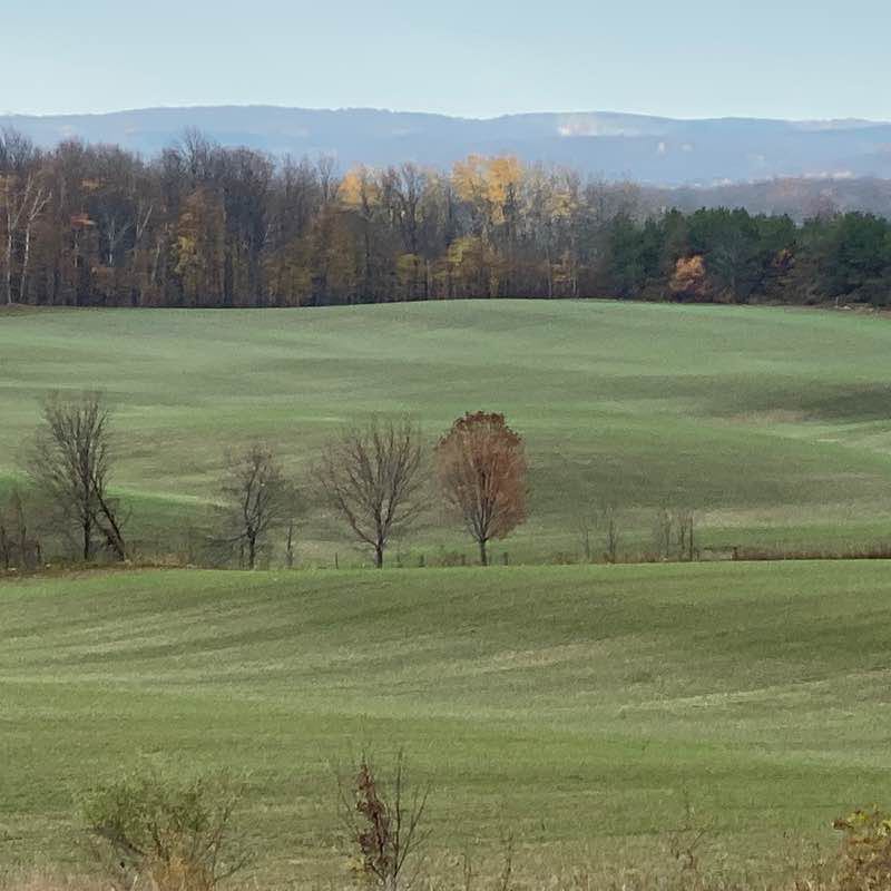
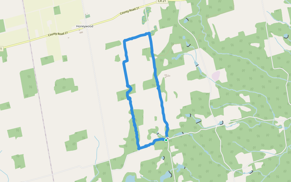
Lavender walking route map in Honeywood
Black Bank
star
star
star
star
star
1
Length 8.2 Km
This is a favourite route of mine. Map 21 of the Bruce Trail ref. guide. Parking on the side of Prince of Whales rd. The route runs east from here. The first .5 km is quite difficult. The footing is very rocky but beautiful. Follow the trail to Centre rd. Turn left (north) for 150 meters and go right. This section winds down a very steep switchback to a pretty river valley. The trail follows Black Bank creek for a short distance then climbs back up eventually coming to county road 21. From here you can loop back on the road or return the way you came. Walk on.
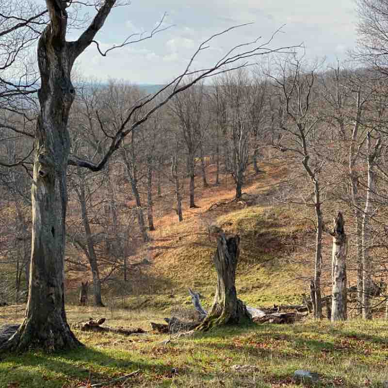
Black Bank walking route map in Honeywood
Black Bank pt .2
star
star
star
star
star
1
Length 7.1 Km
Road side parking on Prince of Whales rd at the 20th sdrd. This route runs through a working cattle farm so no dogs are allowed ever. Take the 20th west. When the road turns south (left) you will see a style on the north side. Go north and follow the trail until you end up back at P of W road. At this point you can return the way you came or loop south on the road. This route has some of the best views in the area. Excellent footing but some steep climbs.
Black Bank pt .2 walking route map in Honeywood
Black Bank pt .2
star
star
star
star
star
1
Length 7.1 Km
Black Bank pt .2 walking route map in Honeywood

Frequently Asked Questions About Trails & Routes Near Honeywood

Which is the best trail or route to walk in Honeywood?
Pacer allows you to create walking clubs for friendly competitions with your walking community or have a discussion about any health-related topics easily. Pacer is the best walking app for finding walking clubs.
What is the longest trail or route in Honeywood?
Pacer allows you to create walking clubs for friendly competitions with your walking community or have a discussion about any health-related topics easily. Pacer is the best walking app for finding walking clubs.
How many walking trails or routes are in Honeywood?
Pacer allows you to create walking clubs for friendly competitions with your walking community or have a discussion about any health-related topics easily. Pacer is the best walking app for finding walking clubs.
How do I find walking trails or routes near me in Honeywood?
Pacer allows you to create walking clubs for friendly competitions with your walking community or have a discussion about any health-related topics easily. Pacer is the best walking app for finding walking clubs.
Last updated: Dec 18, 2025
pacer

Pacer Walking App

Pacer is the best walking app for walking challenges and finding places to walk near me.