


Road from santiago caldas de reis to padron


Length 18.9 Km
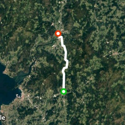
Road section of Santiago (Portuguese Way)
Length 14.2 Km
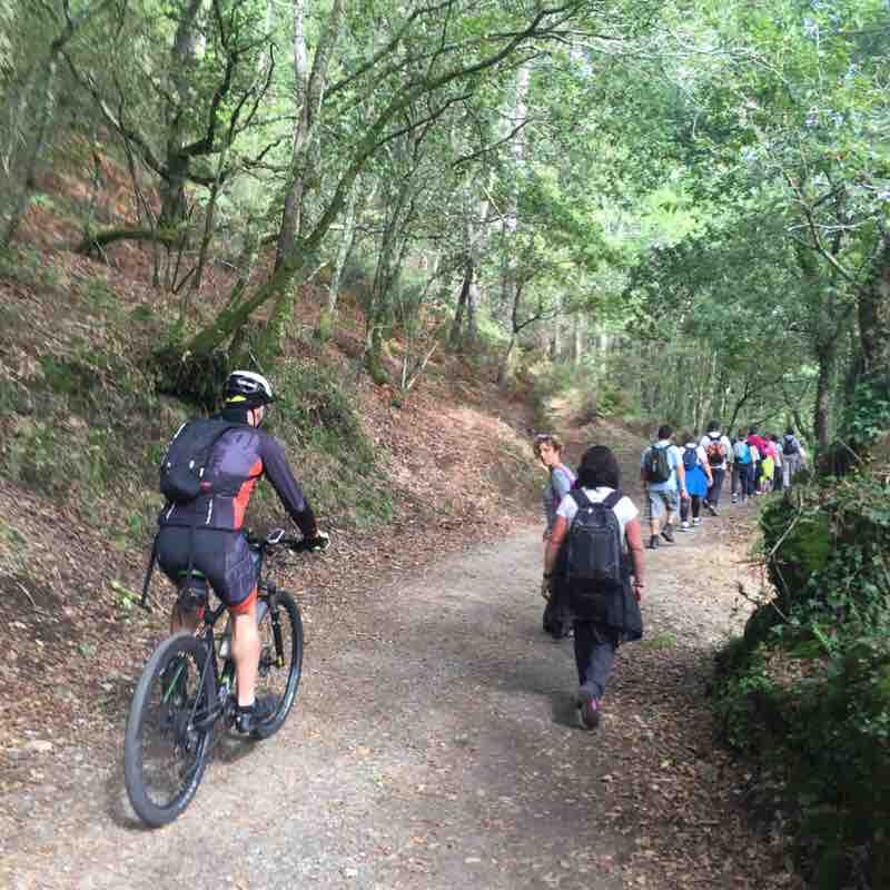
Tramo de camino Santiago,con bonitos senderos y trazado en muy buen estado .

Explore the best walking trails and routes in Caldas de Reyes. Explore scenic nature walks, urban adventures, and hidden gems right in your city. Start your journey today and uncover the best walking trails & routes near you with this curated list from Pacer Walking App.
0~5 km

5~10 km
10~20 km
More than 20 km
Pacer is the best walking app for walking step challenges and finding places to walk near me.


 4.5 · 1 Review


