


De Leets


Length 3.3 Km
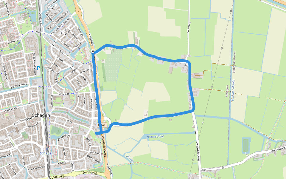
Sportpark VV Schagen
Length 7.2 Km
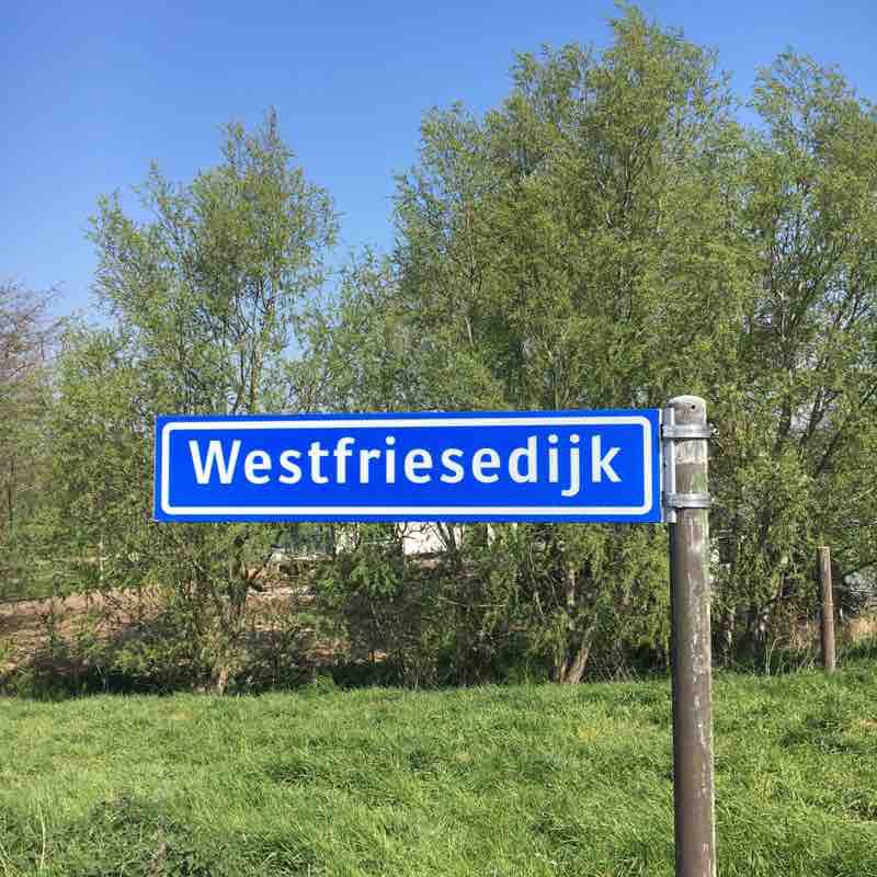
West Frisian dyke
Length 9.3 Km
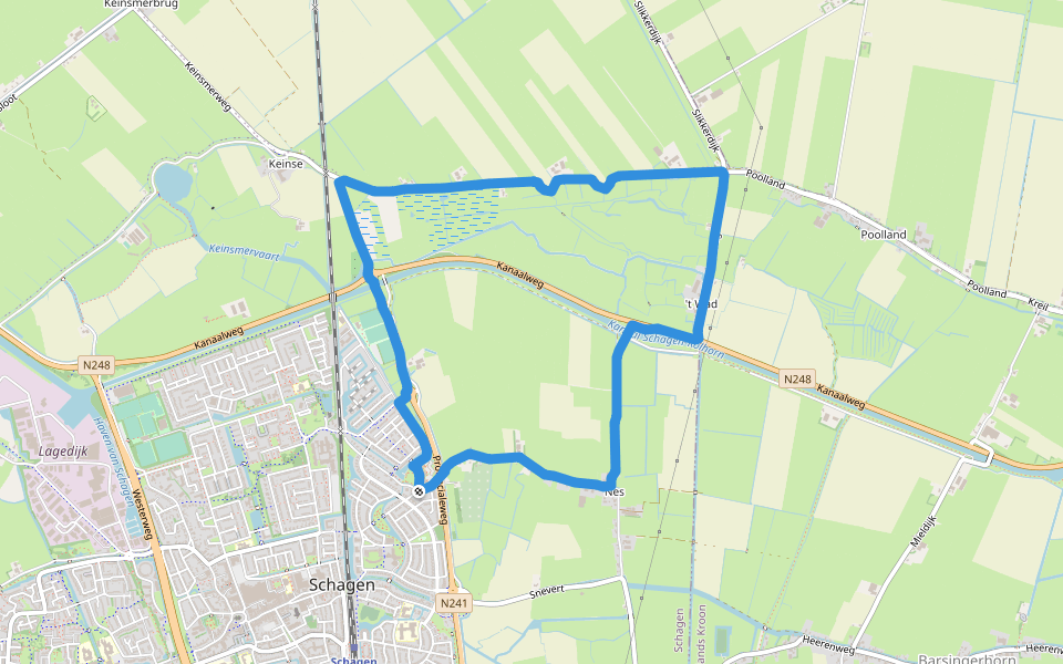
Postbodepad
Length 11.9 Km
From Schagen, take the Lutjewallerweg to Barsingerhorn. On the Heerenweg you will find a lot of nice houses. Follow the Leekerweg until Postbodepad. There is a small obstacle to keep the cattle in. At the end of the Postbodepad, follow the Hoogebierenweg into Haringhuizen. After Haringhuizen, go left to pass the crematorium. Cross the N241 to find the characteristic Grotewallerweg. Enjoy the scenery. Make sure to bring your own drink - no pubs on this route!
Between dikes and ditches to pumping stations and canals
Length 7.6 Km
Deze route laat prachtig zien wat er in deze polder allemaal moet gebeuren om te zorgen dat we droge voeten houden.
Running around the fields
Length 5.5 Km
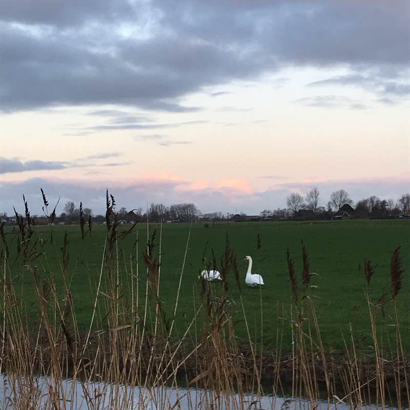
December jogging by the canals
Length 5.1 Km
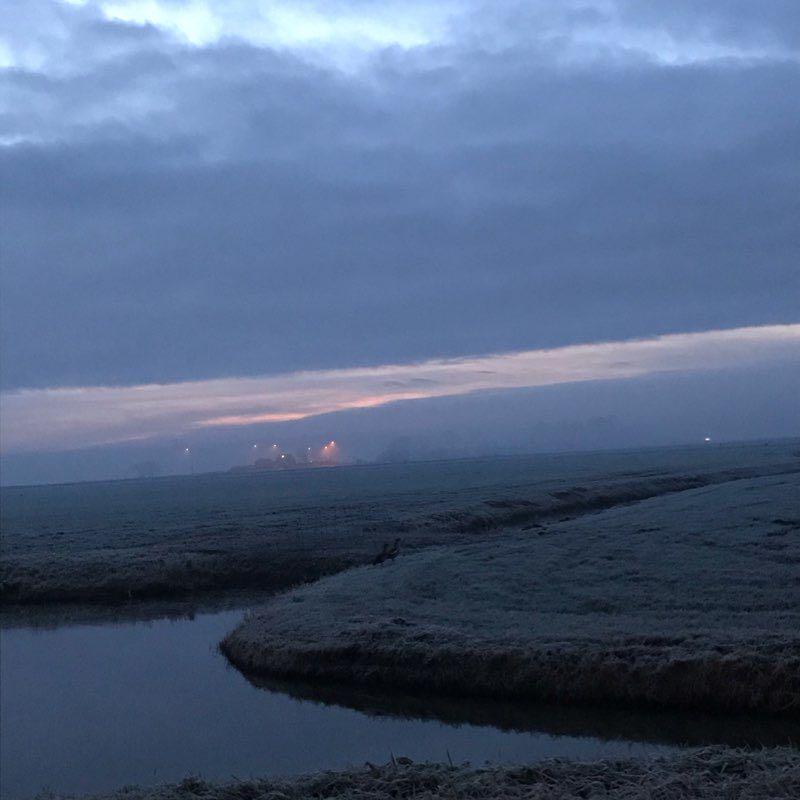
Let's start the December with a jogging by and between canals, out and around fields. It is an open space you can speed up for good pace or slow down and enjoy the view of ducks and sheep and the sunrise, well if it's not misty and cloudy as today...
Walking in farmland
Length 9.0 Km
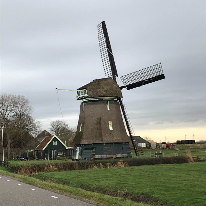
We started in town where you can get by public transportation or easy and free parking. We were quickly out of town walking on the cycle roads following small canals, passing a farmer's shop where you can buy biological meat and vegetables. We passed an old windmill too in beautiful condition. The whole farmland was hundred years ago still sea water proves the hard working Dutch spirit gained the land and use it for cultivating the world famous tulip bulbs. We arrived then to a small chapel where people are coming to light a candle to remember their deceased ones. Then crossing a wider canal, walked through the little park to get back in town to have a nice cup of coffee.
Xmas easy jogging route
Length 7.6 Km
You leave the town where you can park your car free, plenty if parking places. In a minute you are out on the among the open fields, the route is leading between old farmhouses and farmlands, you turn then in the direction to an old dijk, passing peaceful view of sheep 🐑. Where the road splits you turn right and approach a small village, built around canals hundreds of years ago, old farmhouses in traditional style. You follow the road by another canal leading back to town. Take it easy, stop for making foto's and enjoying scenic views.
Boerderij- en Rijtuigenmuseum Vreeburg
Length 0.8 Km
Molensloot
Length 5.5 Km

Wilgenlaan
Length 1.4 Km
Trambaan-Zuid
Length 0.5 Km
Tolkevaartpad
Length 0.7 Km


 4.5 · 5 Reviews


