


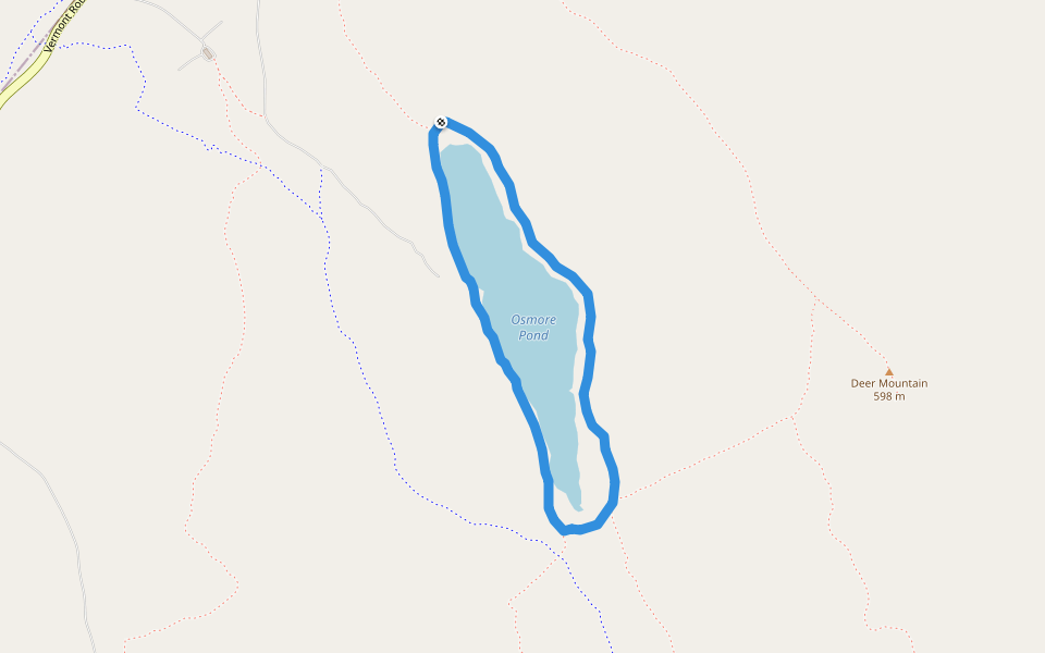
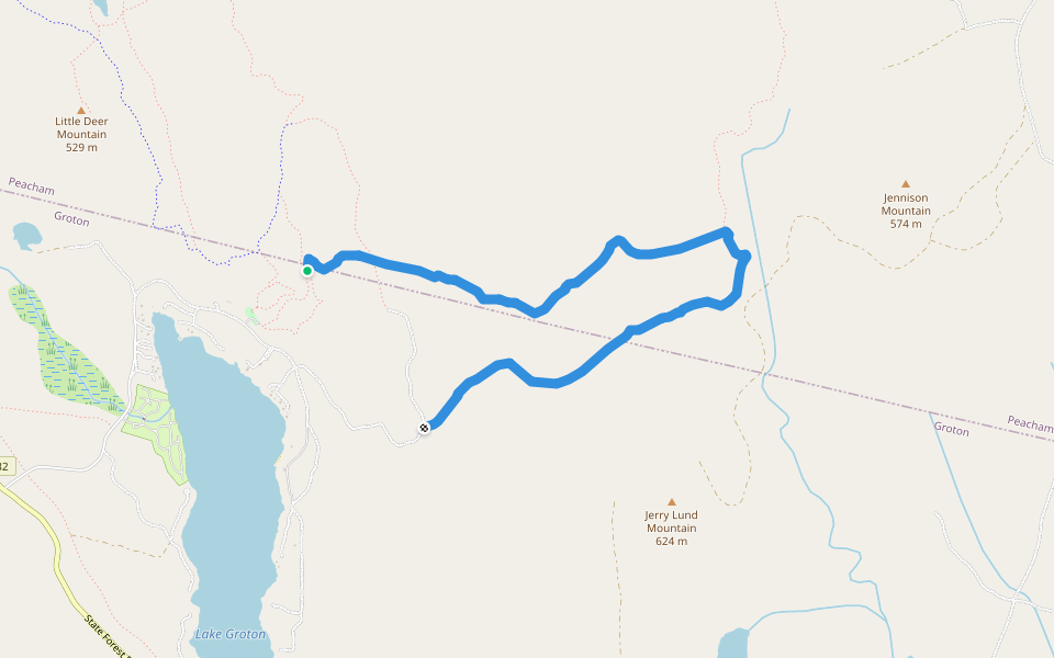
Osmore Pond Loop


Length 3.0 Km
2 miles, 2 hours. Effort Rating: Easy.
This scenic loop begins at the Osmore Pond picnic shelter. The trail veers south, away from the pond’s edge. It passes under a power line just before the junction with the Little Deer Trail (0.6 miles). Continuing ar
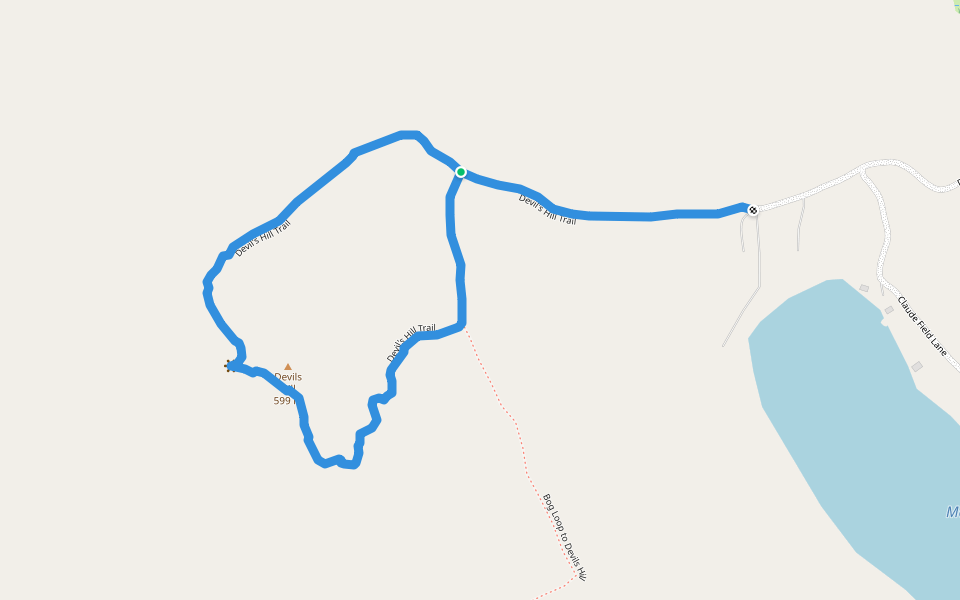
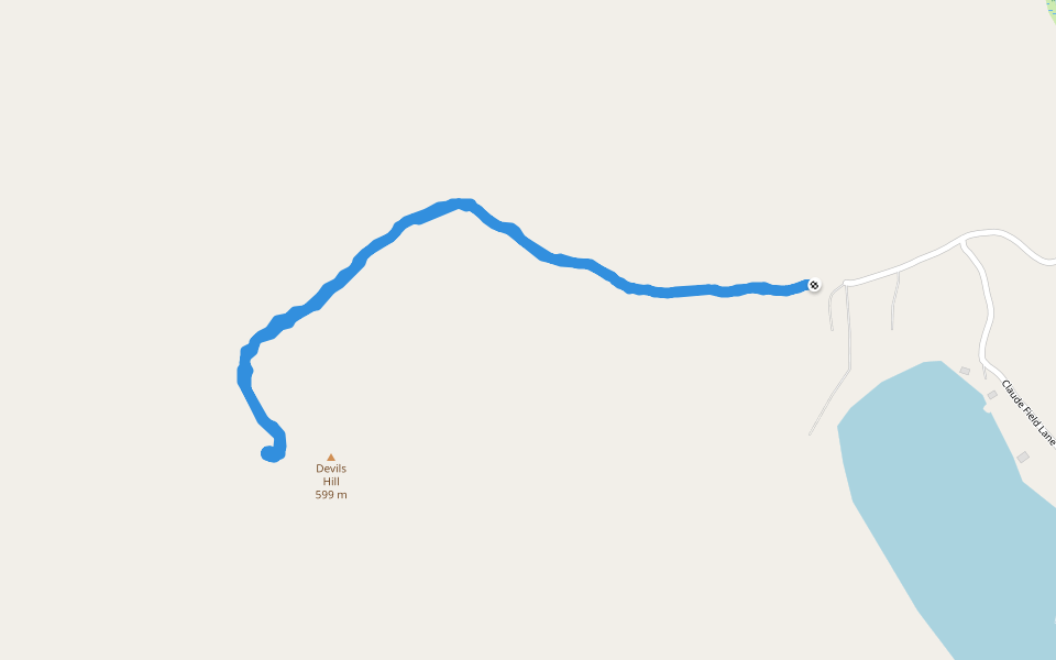
Devil's Hill Trail
Length 2.2 Km
Multi Use connector trail
Length 1.6 Km
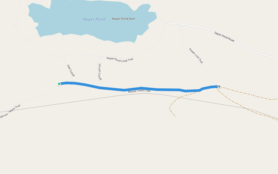
Moose Tracks Trail
Length 1.0 Km
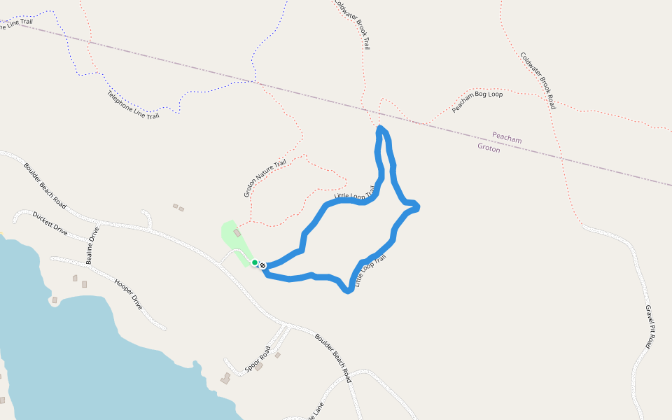
Little Loop Trail
Length 1.3 Km
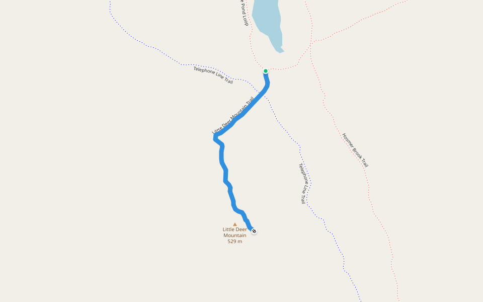
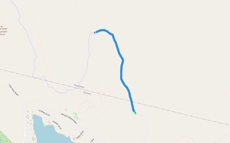
Littte Deer Mountain Trail
Length 0.7 Km
0.5 mile, 1/2 hour. Effort Rating: Moderate.
Trail leaves south end of Osmore Pond Hiking Loop (0.6 miles from shelter). Trail follows a power line for a short distance before heading uphill, steeply at times, to a ridgetop. Good views of Lake Groton and
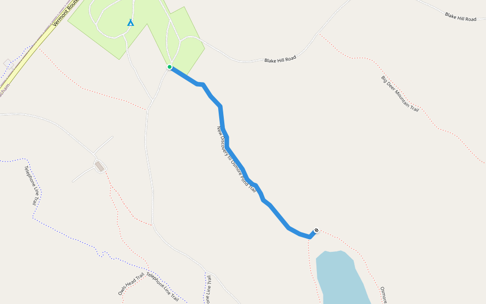
New Discovery to Osmore Pond Trail
Length 0.8 Km
Peacham Bog Loop
Length 5.9 Km
Bog Loop to Devils Hill
Length 2.7 Km
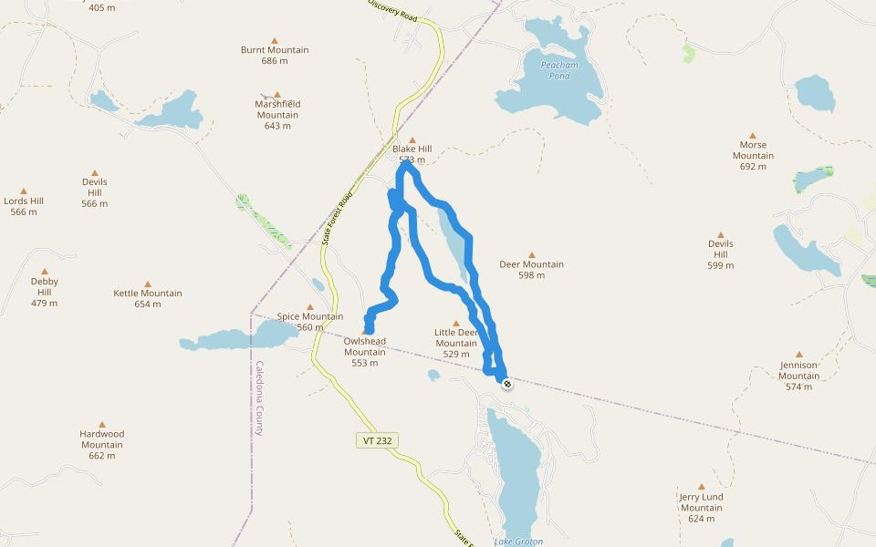
Owlshead Mountain
Length 13.8 Km
Silver Ledge Trail
Length 0.9 Km
0.6 mile, 1/2 hour. Effort Rating: Moderate.
Trail starts from Beaver Brook Road and crosses level terrain for a short distance. After crossing the brook, the trail climbs steeply. The trail ends at a split boulder with views of Lake Groton and beaver mea
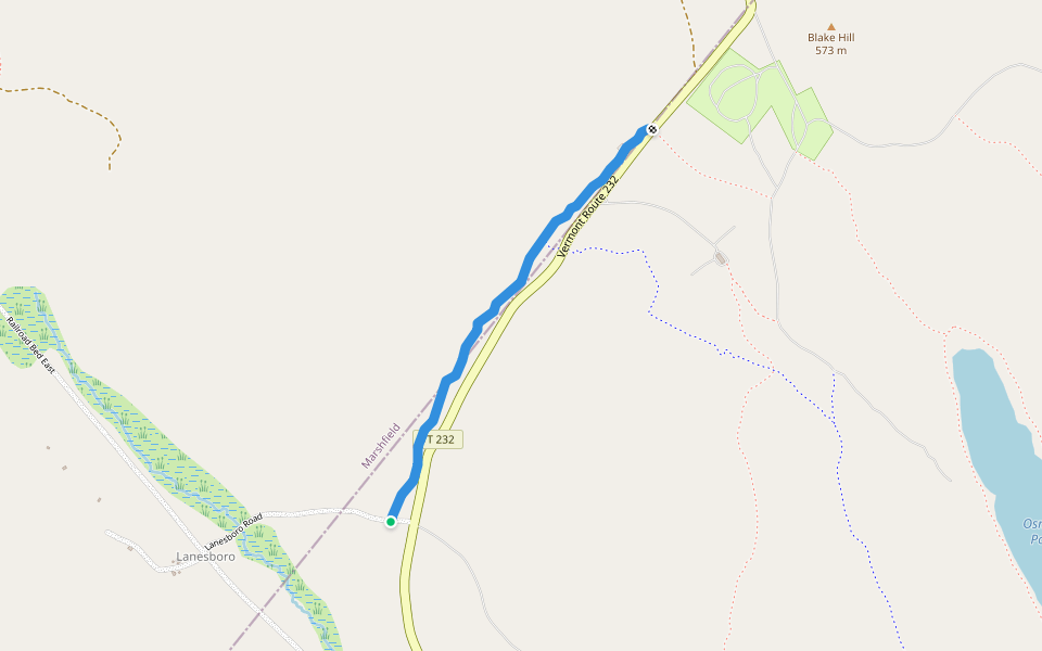
Coldwater Brook Road
Length 1.5 Km
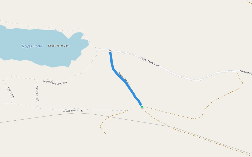
Power Line Trail
Length 0.4 Km
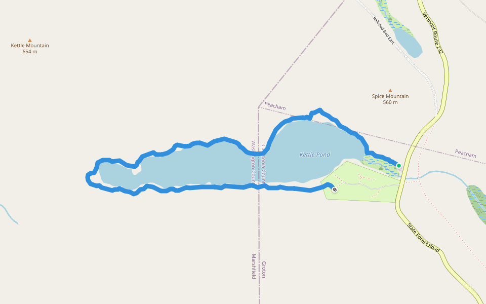
Kettle Pond Loop Trail
Length 4.4 Km
Cross Vermont Trail
Length 7.3 Km
Cross Cut Trail
Length 2.0 Km
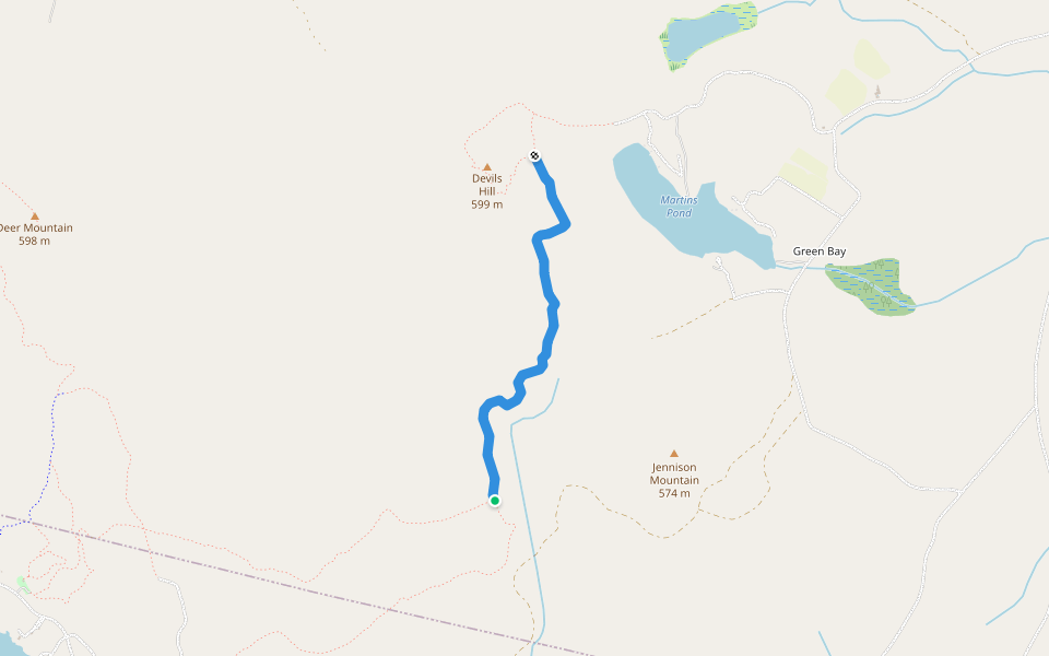
Devils Hill
Length 2.7 Km


 4.5 · 1 Review


