


The University of Memphis


Length 0.4 Km

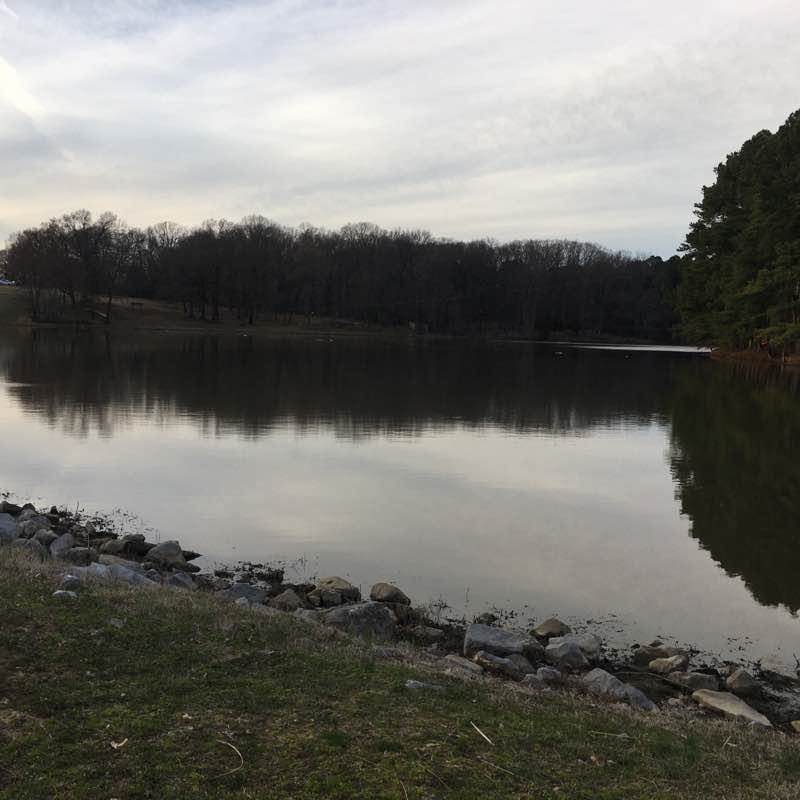
Shelby Farms Park
Length 4.7 Km
Park by the lake and make your way to the uplands which has one of the entrance points to the Chickasaw Trail. The loop is a 2.75 mile trail. Enjoy the arboretum and ponds along the trail.

Mississippi Greenbelt Park
Length 5.0 Km

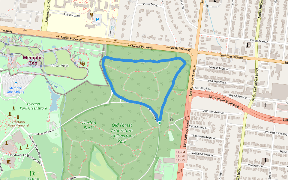
Overton Park
Length 1.6 Km
Burt Ferguson Park (City of Memphis)
Length 1.7 Km

The University of Memphis
Length 3.0 Km

Tom Lee Park
Length 0.6 Km

Shelby Farms Greenline
Length 4.8 Km

Wolf River Greenline
Length 5.7 Km

Lowrance Road Park
Length 1.1 Km

Goodwin Park
Length 0.8 Km

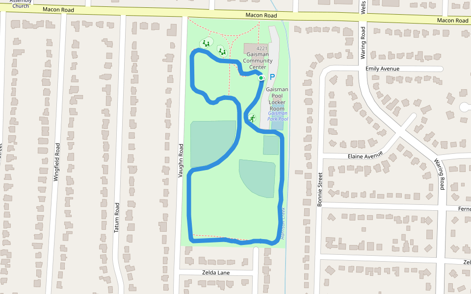
Gaisman Park
Length 1.2 Km
Riverwalk
Length 1.5 Km

Freeman Park
Length 1.4 Km
I heard there was a 9 mile trail but I think I missed understood. Maybe when it’s warmer, I’ll try again. However, this a great and safe place for kids. Places to play tennis or baseball are available.

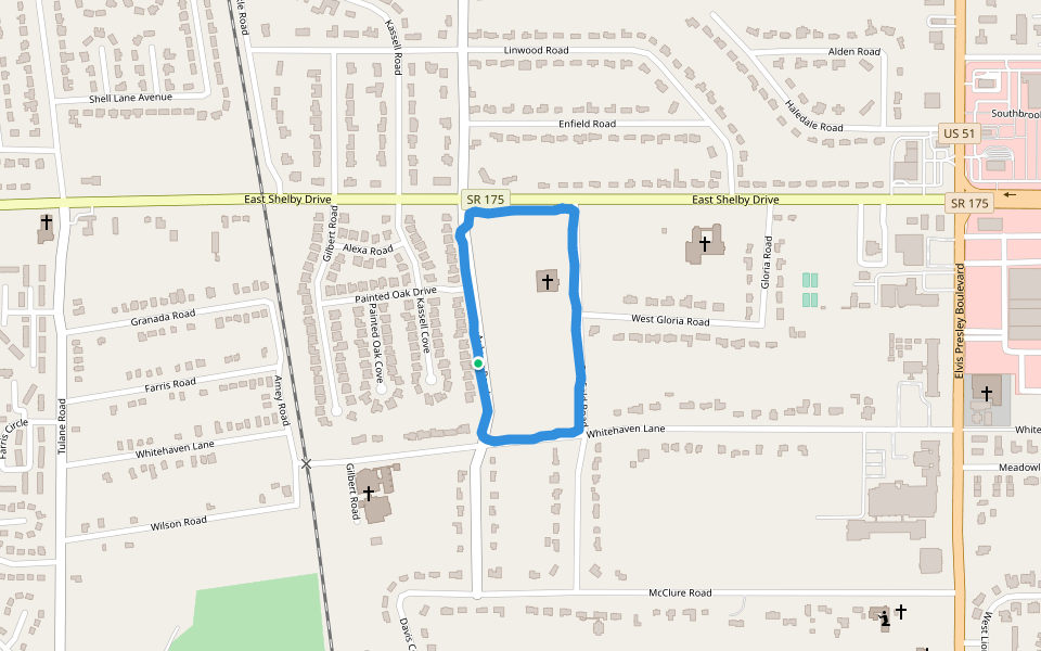
Whitehaven Lane Park
Length 1.2 Km
Arthur Halle Stadium
Length 0.4 Km

Mallory-Neely House
Length 1.5 Km

Hickory Hill Park
Length 0.4 Km

The University of Memphis
Length 1.2 Km

SHELBY FARMS: From the Uplands to the Greenline
Length 6.6 Km
Drive through the Uplands and park at the disc golf course and look for the dirt path behind the kiddie gym which connects to the Chickasaw Trail and make a left until you find the path leading to the greenline. Once you cross to the Greenline you can go east or west. For this particular route, go east. If you’re not crunched on time see how far the east side of the trail will take you. Otherwise you can follow this route exactly. In case you’re wondering, I got lost looking for my van but ended discovering that I parked around the corner (roughly) near the zipline/Duke (name?) Lake.


 5.0 · 1 Review


