


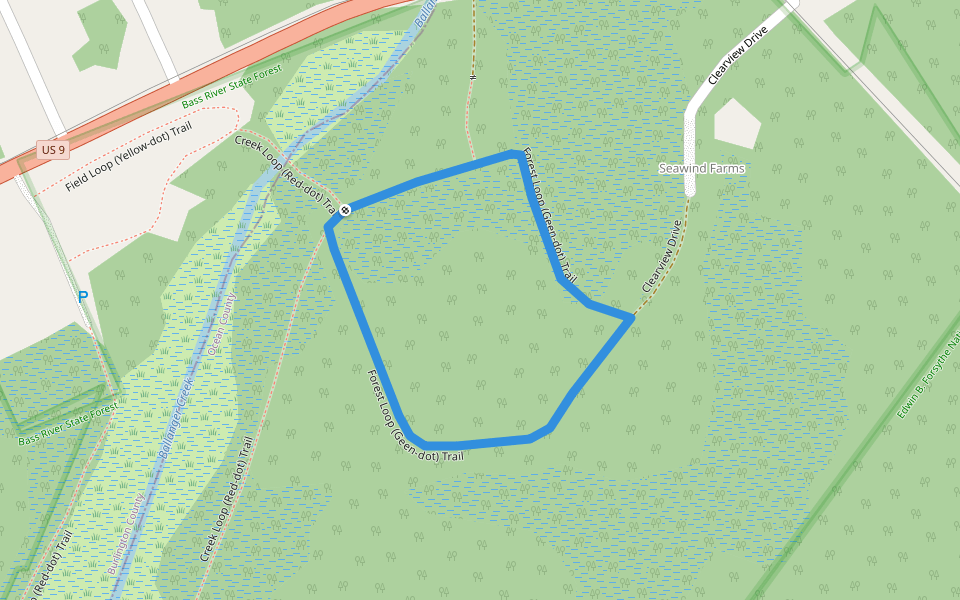
Forest Loop (Geen-dot) Trail


Length 0.9 Km
The Forest Loop trail (green-dot markings) at Ballanger Creek loops on old grassy roads through typical Pinelands forest areas. Access this trail from the Creek Loop (red-dot) trail, or via a path from US-9.
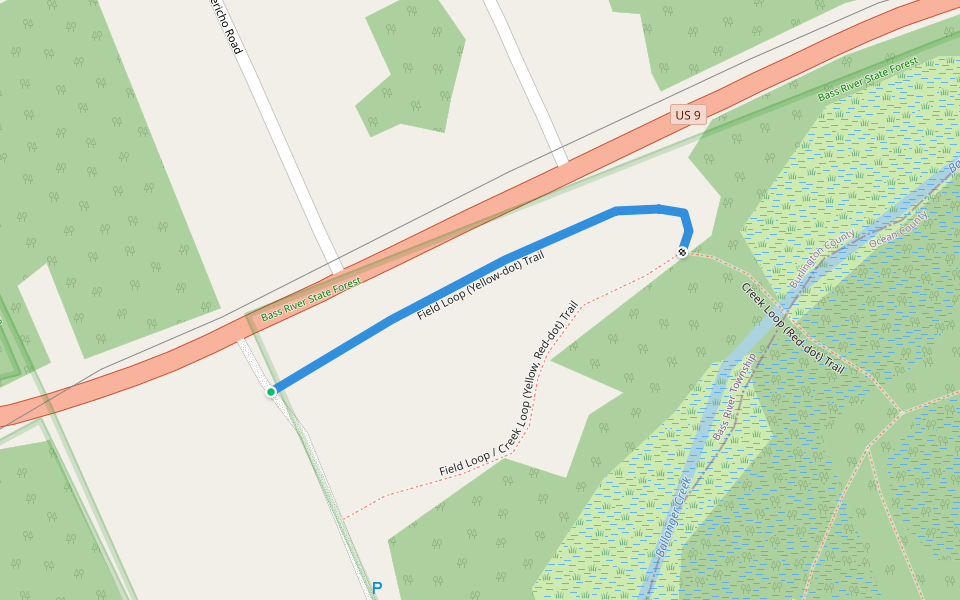
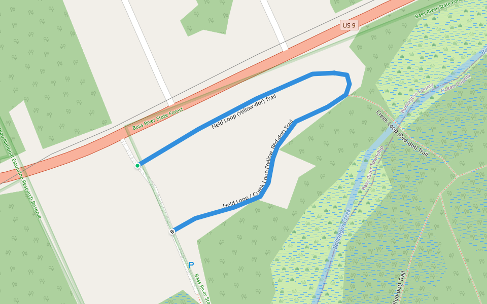
Field Loop / Creek Loop (Yellow, Red-dot) Trail
Length 0.2 Km
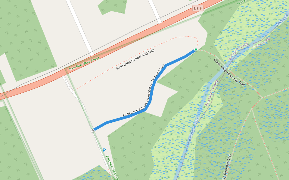
Field Loop (Yellow-dot) Trail
Length 0.2 Km
Nisky (Green) Trail
Length 0.7 Km

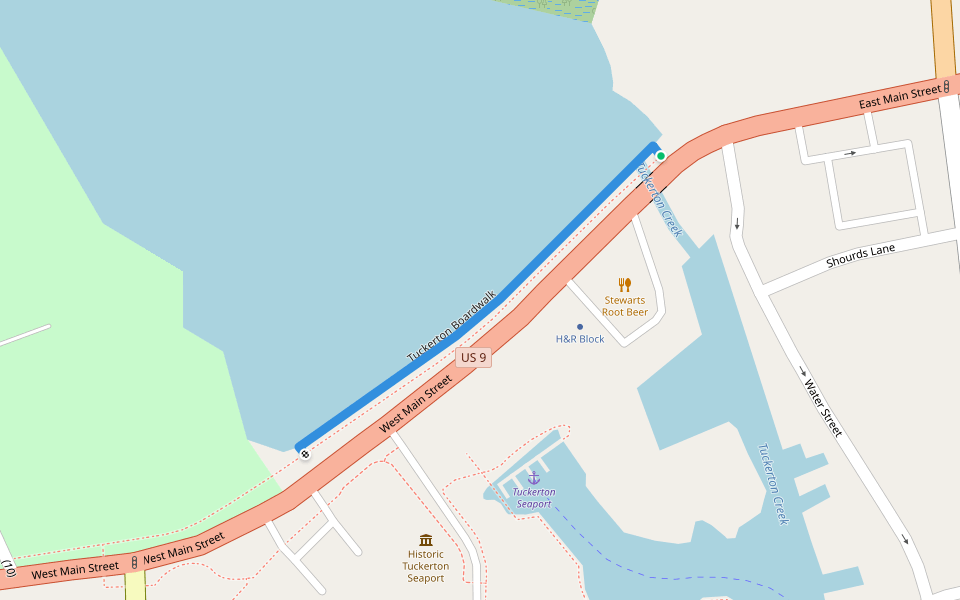
Tuckerton Boardwalk
Length 0.2 Km
Joe's Trail
Length 1.0 Km

Forest Loop (Geen-dot) Trail
Length 0.8 Km

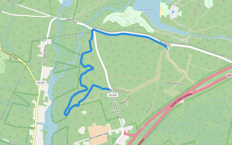
CCC (Orange) Trail
Length 4.1 Km
Absegami (Silver) Trail
Length 0.3 Km

Falkinburg (Purple) Trail
Length 4.8 Km
This trail traverses various Pine Barren habitats, including a pine plantation planted in 1920's and 1930's by the Civilian Conservation Corps (CCC).
Field Loop (Yellow-dot) Trail
Length 0.4 Km
The Field Loop trail (yellow-dot markings) at Ballanger Creek goes around and through a meadow that was restored as part of the habitat restoration project.
Creek Loop (Red-dot) Trail
Length 1.5 Km
The Creek Loop trail circles the water and wetlands of Ballanger Creek. Note: Walkways on the north and south water crossings have been buried or destroyed by beavers. Use caution. Also, water level rise causes flooding or wet areas on the trail.

Joe's Trail
Length 1.0 Km
This trail is named for Joseph N Trujillo, 1920-2009, army veteran of three wars, hike leader, activity coordinator, and president of the Outdoor Club of South Jersey. It follows the southern shore of Lake Absegami.

Absegami (Silver) Trail
Length 0.5 Km
This is the "Interpretive Nature Trail" in the Absegami Natural Area of Bass River State Forest. It traverses a pine-oak forest, then crosses a branch of the Bass River via a boardwalk, through a cedar forest.

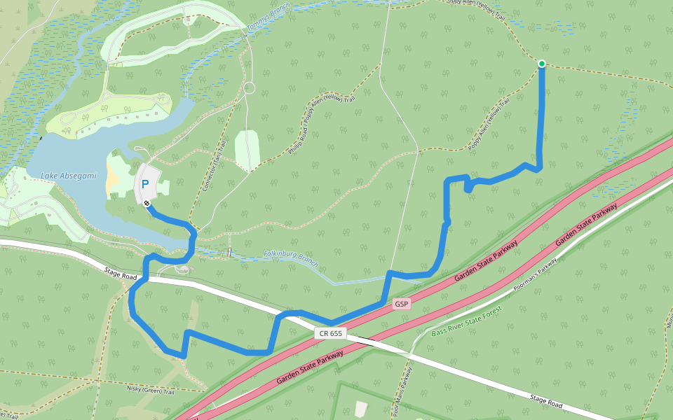
Poppy Allen (Yellow) Trail
Length 5.0 Km
This trail goes through a variety of habitats of a pine-oak forest. A section of this trail passes through the Group Camping area, and is a route from there to the Lake Absegami Beach.

Connector (Tan) Trail
Length 0.8 Km
This trail follows a wide utility right-of-way and is good for large groups.

South Shore (Red) Trail
Length 1.0 Km
This trail goes from the Lake Absegami Beach parking lot to the South Shore Campground, and connects to all the other trails.


 5.0 · 1 Review


