


Salisbury City Park


Length 1.8 Km

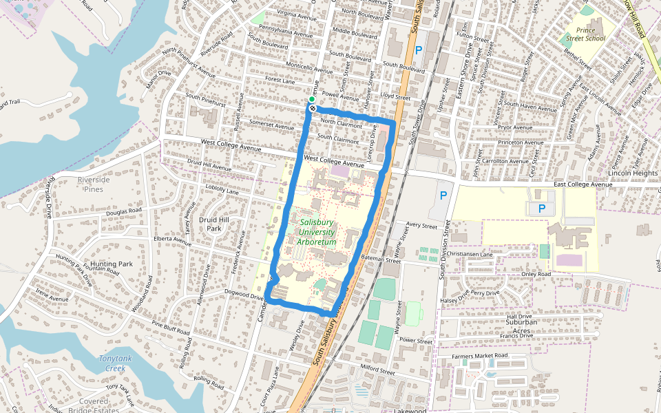
Salisbury University Arboretum
Length 3.1 Km
Cannon/Bennett Route
Length 1.5 Km

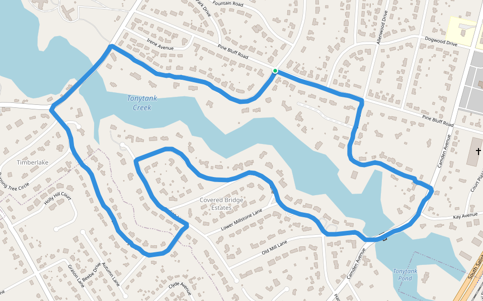
Tonytank Creek
Length 4.5 Km
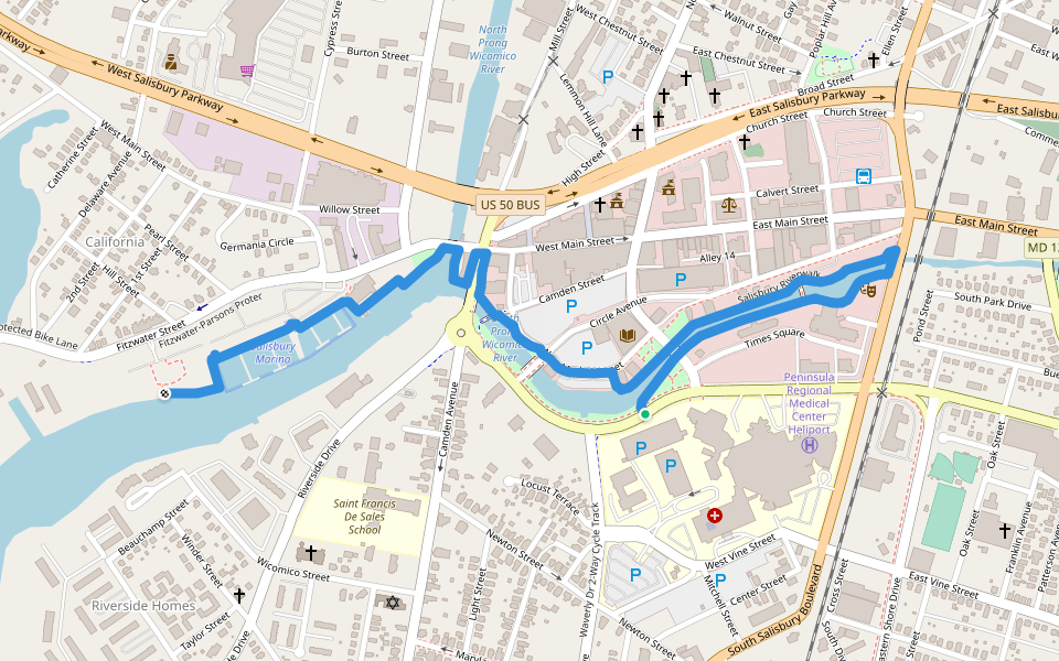
Salisbury Riverwalk
Length 2.3 Km
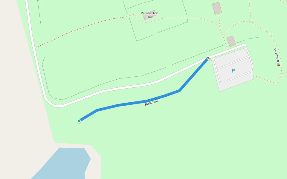
park trail
Length 0.2 Km

Explore the best walking trails and routes in Salisbury. Explore scenic nature walks, urban adventures, and hidden gems right in your city. Start your journey today and uncover the best walking trails & routes near you with this curated list from Pacer Walking App.
0~5 km

5~10 km
10~20 km
More than 20 km
Pacer is the best walking app for walking step challenges and finding places to walk near me.


 4.5 · 1 Review


