


Jervey Gantt Park


Length 1.3 Km

Sholom Park
Length 0.9 Km
Sholom Park is located north of Hwy 200 on SW 80th Street. Park hours are 8:00 am to 5:00pm daily. The Enchanted Forest Trail is the furthest Trail from parking and you need to take other trails to get there. All trails are paved and mostly level. The purpose of these trails is to have a quiet reflective walk in a natural setting. The Enchanted Forest Trail is through mostly large pine trees. We had several sightings of hawks along the trail. The trails in this part of perfect for strollers and wheelchairs. Kids are welcome. The park has restrooms with water fountains and plenty of places to sit along the trails.The scenery in this park is second to none in this area of the country.

CF Fitness & Recreation Park
Length 0.8 Km

Northeast Osceola Avenue
Length 0.2 Km

Polly palmer park
Length 0.6 Km

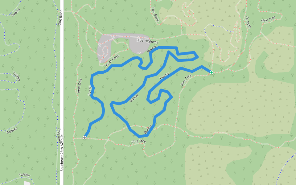
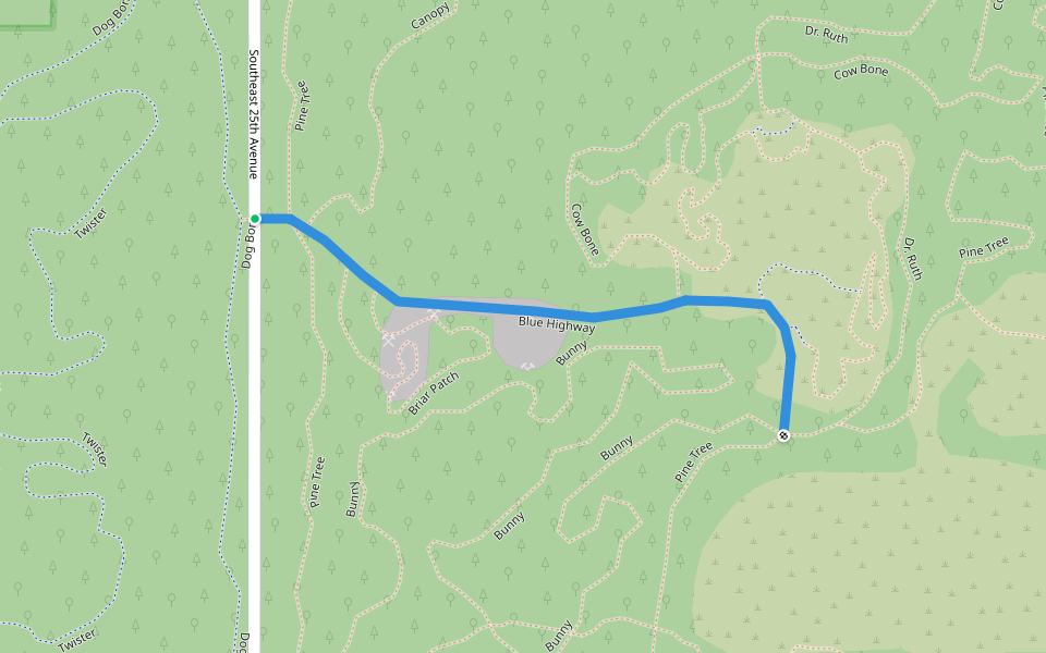
Briar Patch
Length 0.6 Km
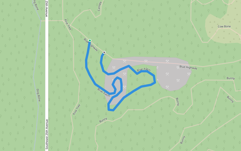
Bunny
Length 1.9 Km
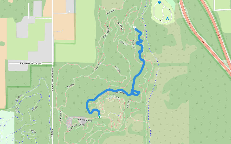
Cow Bone
Length 1.6 Km
New Years
Length 4.0 Km
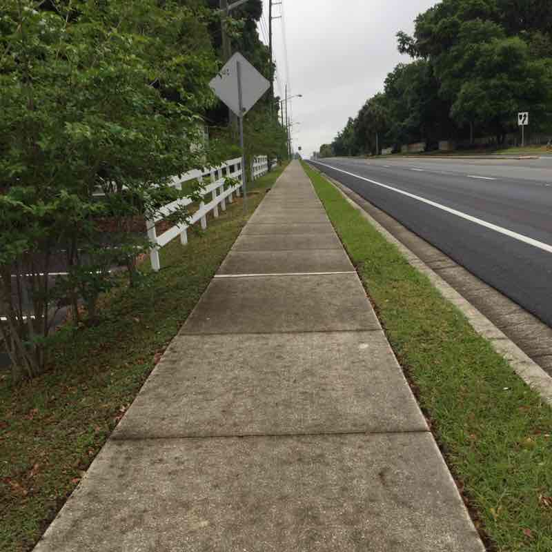
legacy park sidewalk
Length 0.8 Km

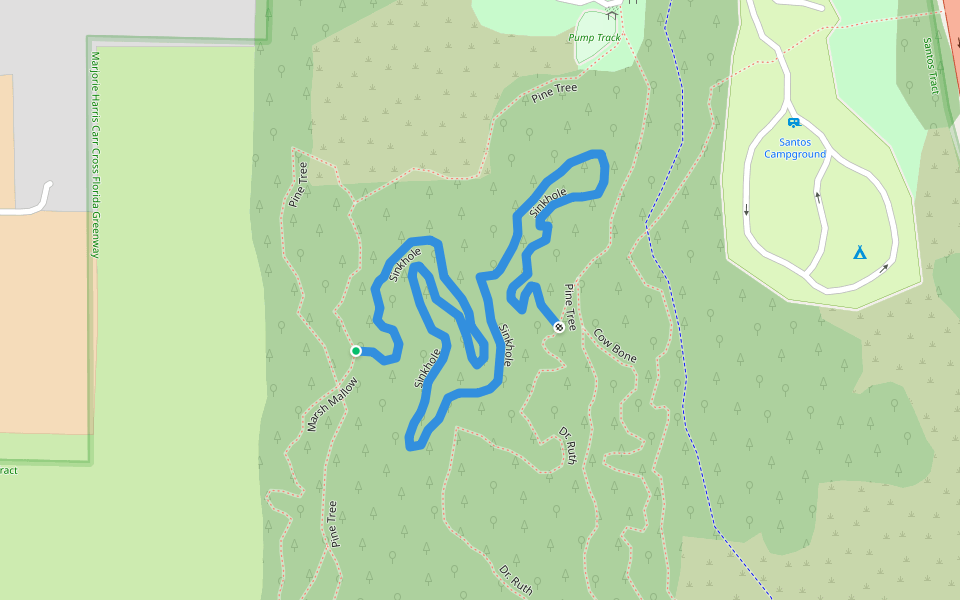
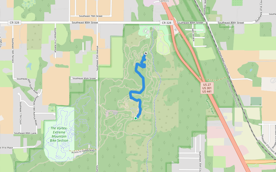
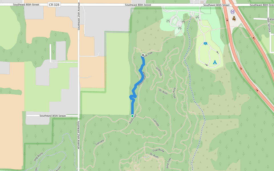
Pine Tree
Length 4.7 Km
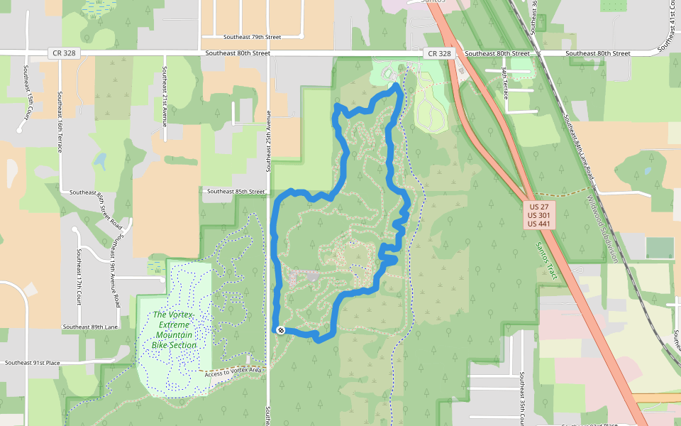
Sinkhole
Length 1.5 Km
Dr. Ruth
Length 1.6 Km
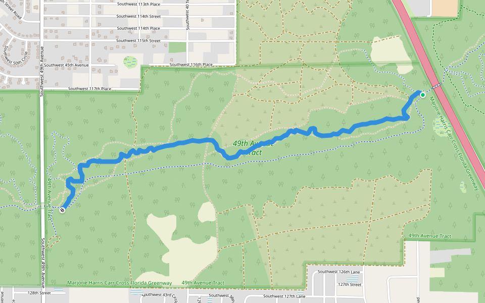
Marshall Swamp Trail
Length 3.6 Km

Marsh Mallow
Length 0.6 Km
christmas
Length 3.7 Km
Blue Highway
Length 0.7 Km
SE 31 st street
Length 9.0 Km
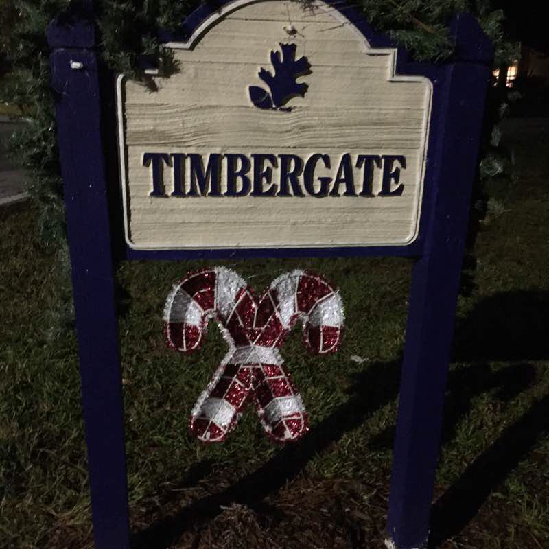
Walking in Timbergate
Length 1.4 Km
Timbergate neighborhood in Oak Run is located on SE 110th Street in Ocala. This route is roughly three quarters of a mile in a quiet neighborhood. The streets are level which makes this route good for strollers and wheelchairs. The area is well used by walkers and dog walkers. The streets are well lit for early morning and evening walks. I like to go one direction then back to make it 1.5 miles. If you need parking it can be found across SW 110th Street.
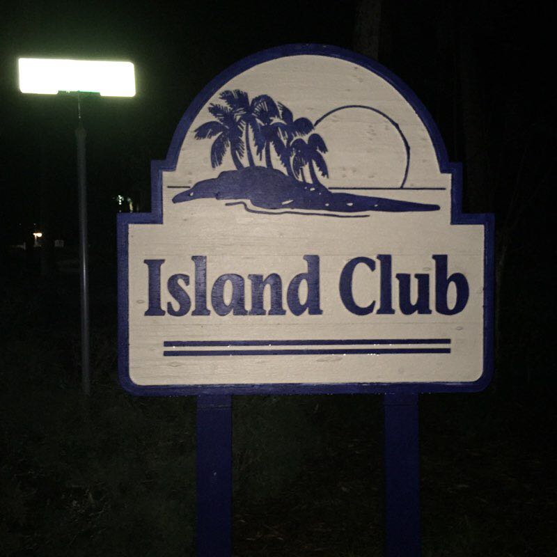
Island club trail
Length 0.4 Km
The Island club trail is located on SW 115 Street at the Island Club swimming complex. It is a quarter mile loop of the property that has nice landscaping and views of the pool. This route is fairly level which makes it good for wheelchairs and strollers. The track is narrow and twisty so probably best suited to walking. Plenty of parking is located at the club. There are restrooms and water fountains. You can find places to sit along the route.


 5.0 · 1 Review


