


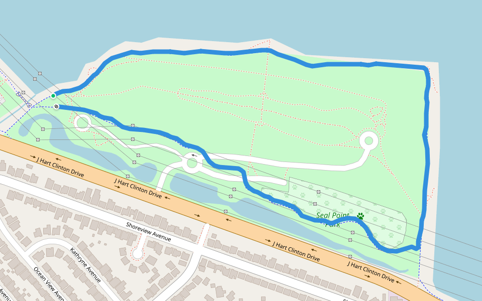
Seal Point Park


Length 1.9 Km
SF Bay Area Trail through a mountain with a few trails. Two dog park available; one for small animals and one for large. Several bathrooms placed throughout. Scenic views of the bay, east bay and both Bay Bridge & San Mateo bridge. Patches of shaved short grass perfect for yoga or stretching. Plenty of benches for sitting and relaxing or stretching. Flat route for casual walking, bicycles, jogging etc and uphill trails & stairs for strenuous walks/jogs.
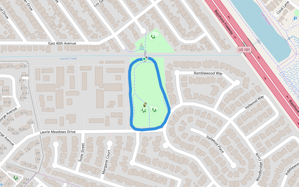
Laurie Meadows Park
Length 0.6 Km
Coyote Point Recreation Area
Length 2.0 Km

Coyote Point Recreation Area
Length 0.8 Km

Bay Meadows Park
Length 0.6 Km

Coyote Point Recreation Area
Length 2.2 Km

San Mateo Central Park
Length 0.7 Km

San Mateo High football field
Length 0.4 Km

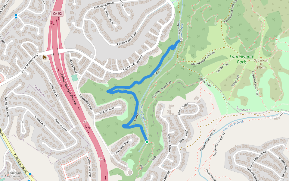
Cracker
Length 1.3 Km
South B Street
Length 0.2 Km

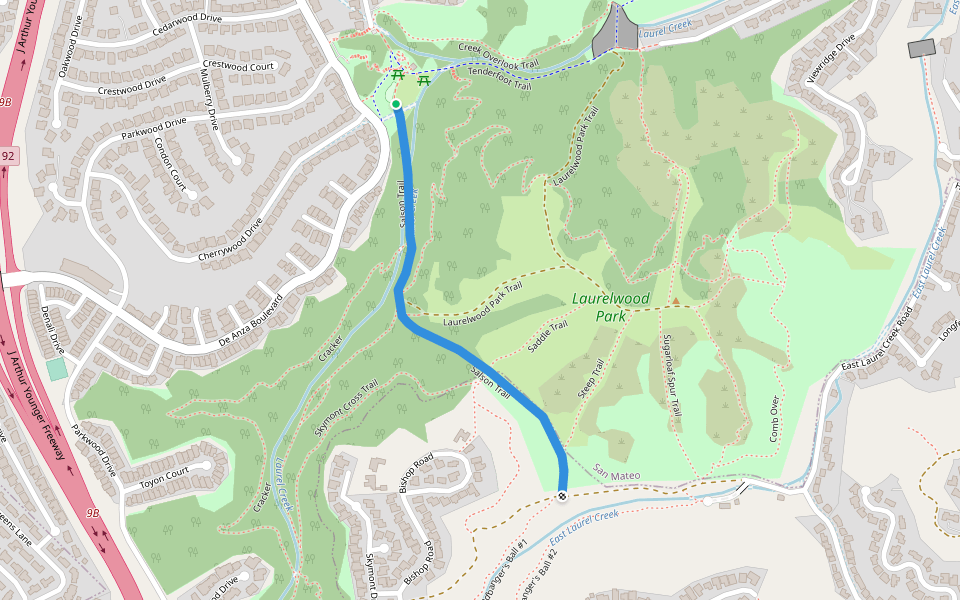
Salson Trail
Length 0.9 Km
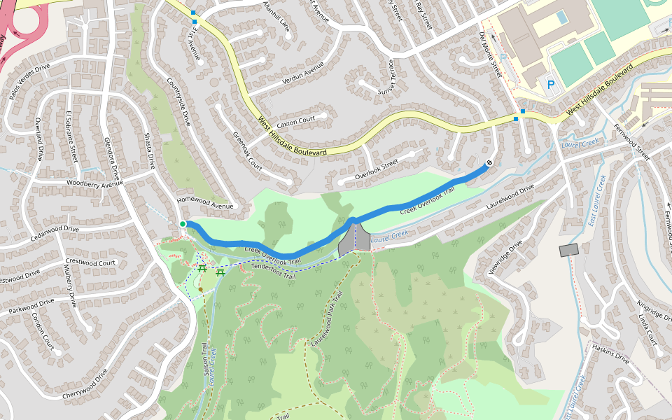
Creek Overlook Trail
Length 0.9 Km
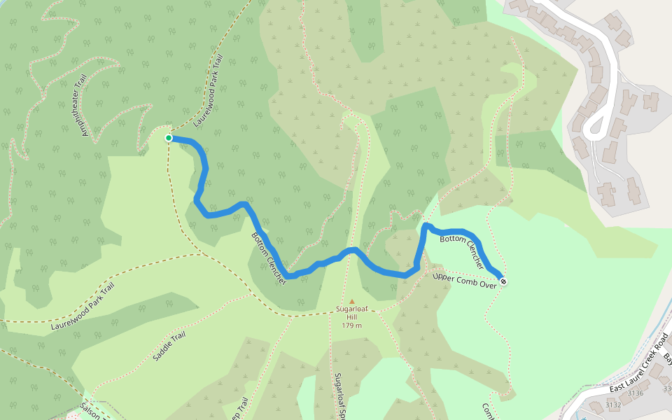
Bottom Clencher
Length 0.7 Km
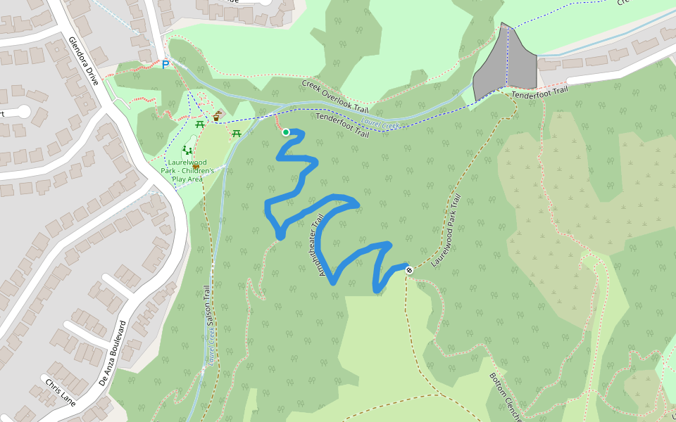
Amphitheater Trail
Length 0.8 Km
Woodlake Area
Length 0.3 Km

One hour loop in Burlingame
Length 5.4 Km
City walk
Burlingame Hills Eastern Addition Loop
Length 5.4 Km
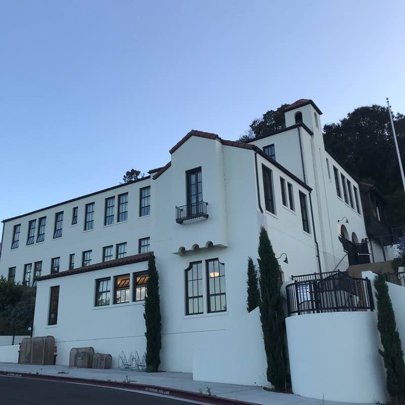
Route starts with a steady grade to about the midway point and finishes with a nice down hill/level grade. Throw in some stairs to get your heart rate back up towards the end. Start at Hoover Elementary School.
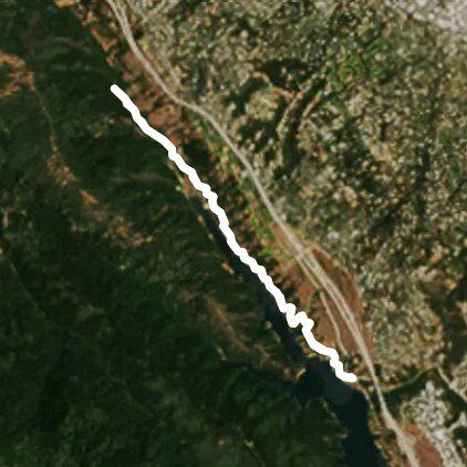
Crystal Springs Regional Trail
Length 2.1 Km
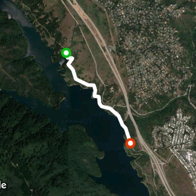
Sawyer Camp Trail
Length 13.0 Km
Easton Addition
Length 6.7 Km


 5.0 · 1 Review


