


Lakes Basin Loop Trail


Length 2.8 Km

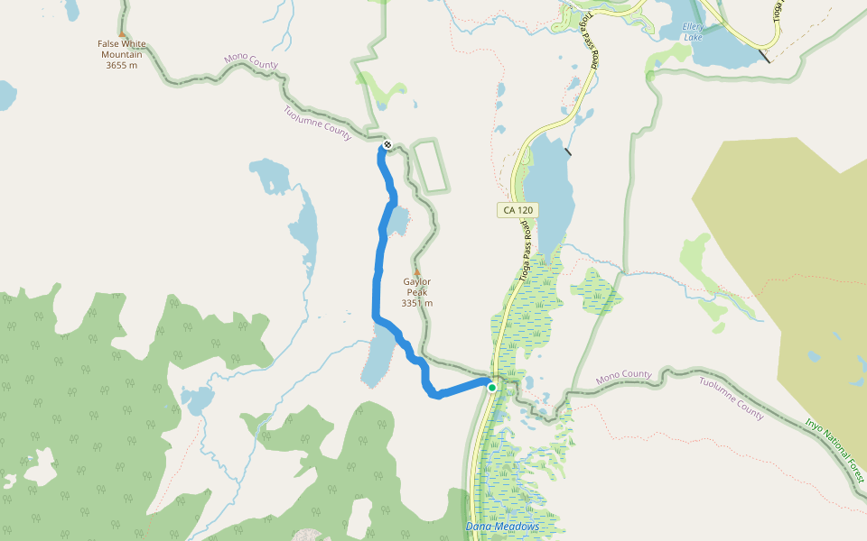
Gaylor Lakes Trail
Length 3.1 Km
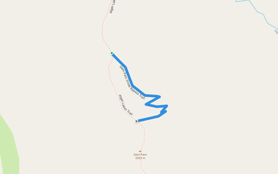
Gem Pass Snow Bypass Trail
Length 0.5 Km
Lakes Canyon Trail
Length 0.4 Km

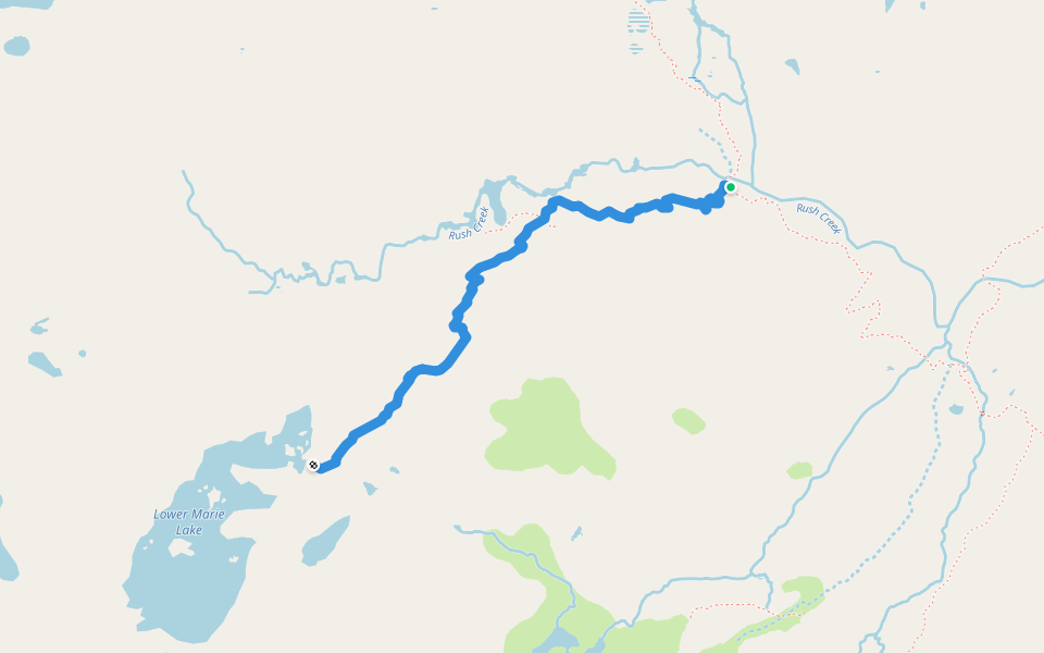
Marie Lakes Trail
Length 2.4 Km
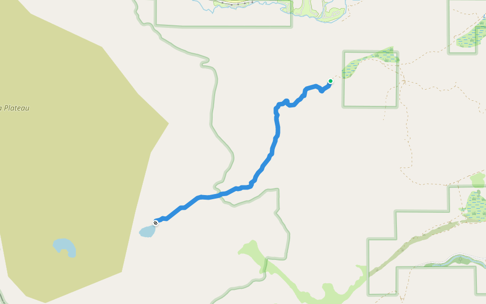
Gibbs Lake Trail
Length 4.1 Km
Mount Conness East Climbing Approach
Length 2.5 Km

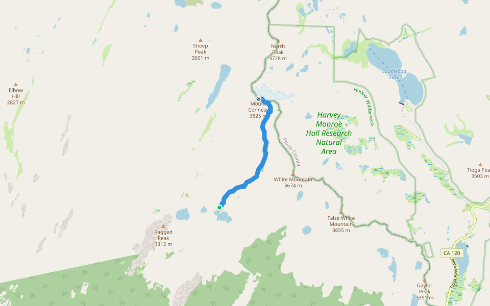
Mount Conness South Slope Route
Length 4.3 Km
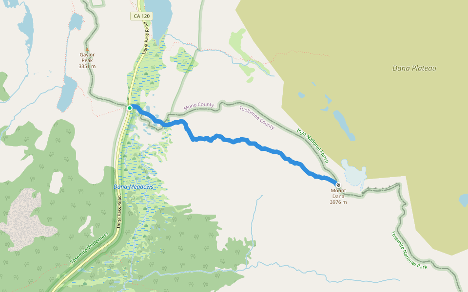
Mount Dana Trail
Length 4.2 Km
Carnegie Station Trail
Length 0.7 Km

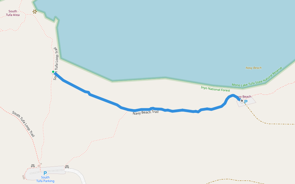
Navy Beach Trail
Length 0.6 Km
Gardisky Lake Trail
Length 1.5 Km

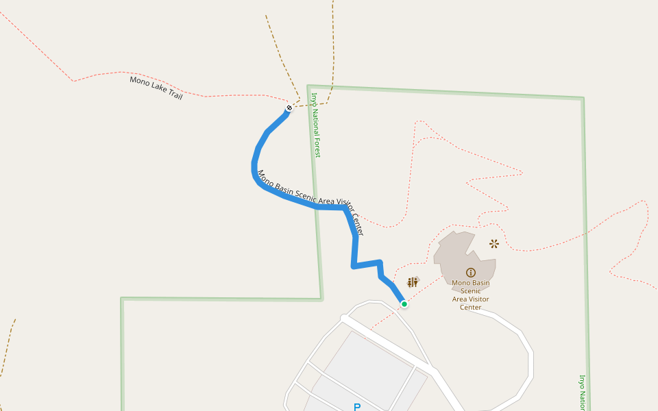
Mono Basin Scenic Area Visitor Center
Length 0.2 Km
Mount Dana Trail in Yosemite National Park
Length 10.9 Km
Although there is no official trail up Mount Dana, a fairly well defined use trail climbs to the summit. This path starts at a small parking area for official vehicles adjacent to the Tioga Pass Entrance of Yosemite National Park. At the beginning, the path is fairly level as it passes through forest. In this section, you will pass a few very scenic small lakes and some wildflowers after the snow melts.
Soon enough, the trail starts to climb, and climb STEEPLY. It doesn’t take too long for the trail to climb above the timberline. When this happens, the views REALLY start to open up and get more spectacular as you climb more and more.
Eventually, you reach a plateau area about midway through the hike. Some of this plateau is grassy, but most is quite rocky. But given the views and the otherworldly look and feel of the immediate surroundings, it is all spectacular. Eventually, however, the climbing resumes.
Although many will say the trail disappears in the final climb, it is actually quite well defined. At least when all the snow is melted. If you DO end up losing the trail, simply look for the large rock cairns which lead the way up to the summit. The climb here is pretty steep. And if you are sensitive to altitude, it can start to affect you here, as you are now above 12000ft. But soon enough, you reach the summit.
It is hard to say what is the most spectacular summit in California (or even Yosemite). But Mount Dana HAS to be up there. Most notable is the view of Mono Lake, over 6000 feet below you. Tuolumne Meadows spreads out to the west. And to the north and south, you are surrounded by other high peaks in the Sierra. Enjoy the view for a while, and head back down the way you came up.

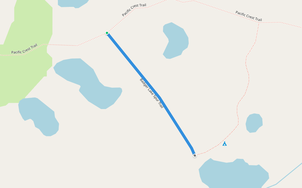
Badger Lake Spur Trail
Length 0.2 Km
Young Lakes via Dog Lake Trail
Length 5.4 Km

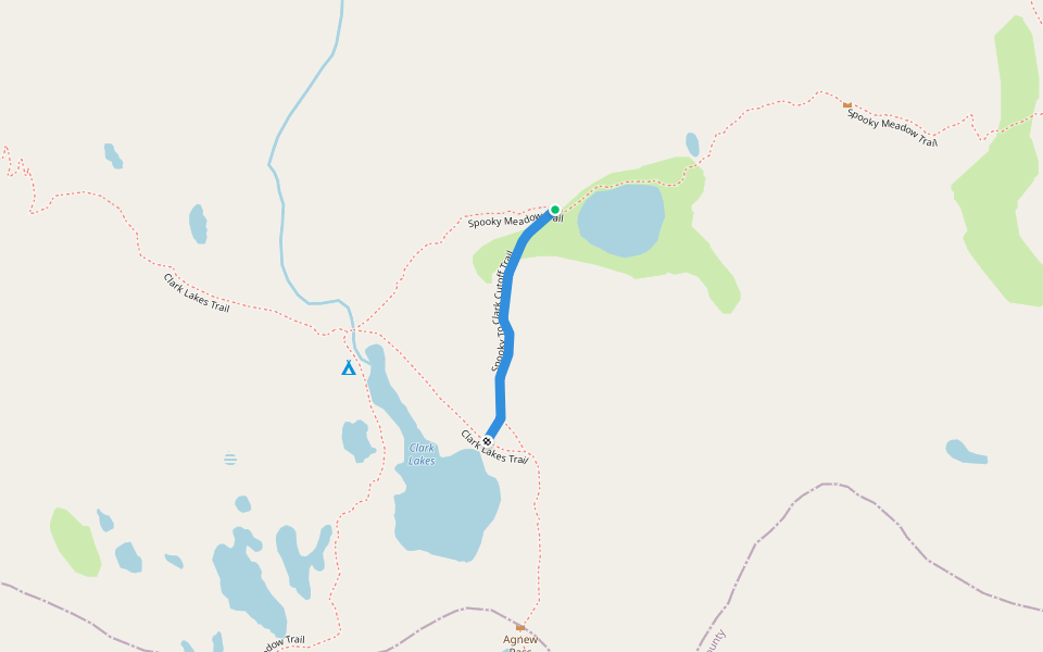
Spooky To Clark Cutoff Trail
Length 0.4 Km
Saddlebag Lake Loop Trail
Length 6.2 Km

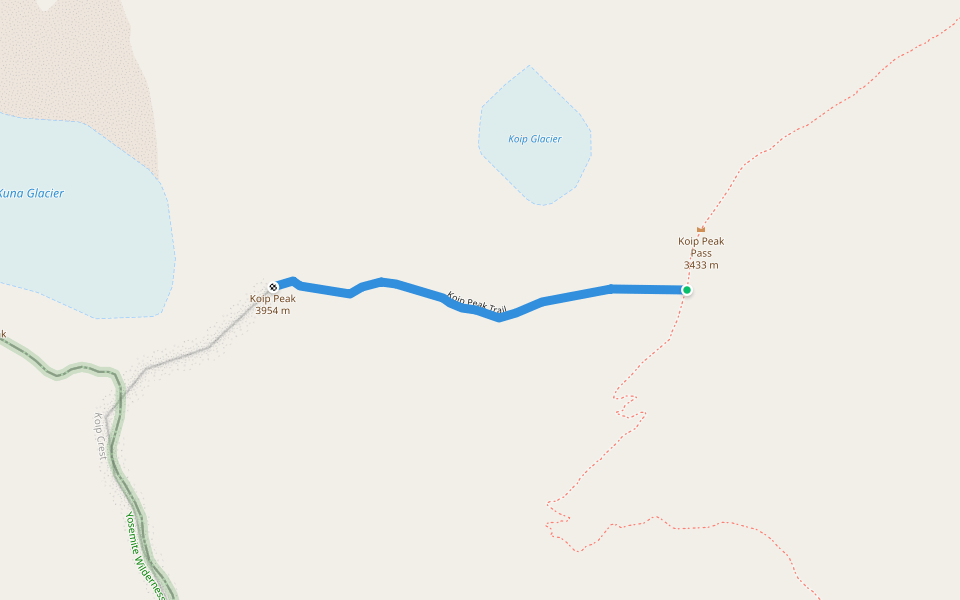
Koip Peak Trail
Length 0.8 Km
trail is not visible in some parts, in other parts several trails have emerged, please record more data when you get to this area
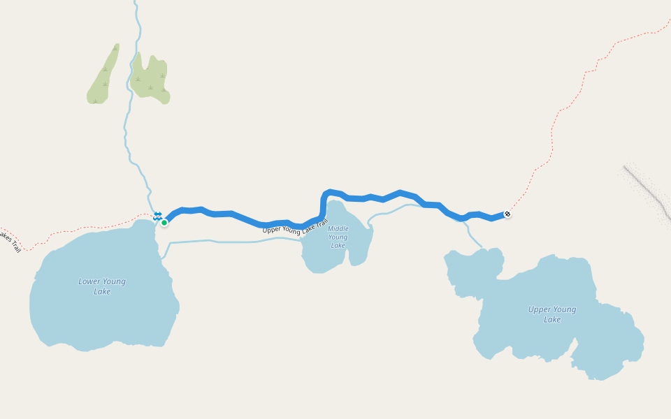
Upper Young Lake Trail
Length 1.0 Km


 5.0 · 1 Review


