


Mission Peak Regional Preserve - Peak Trail


Length 8.7 Km

Coyote Hills Regional Park
Length 5.3 Km
There is no shade definitely take water sunglasses and hat . Also wear sunscreen. Keep and eye on kids since it’s high and no rail.

Alameda Creek
Length 2.8 Km

Hidden Valley Trail - Peak Meadow Trail
Length 6.9 Km

Quarry Lakes Regional Park
Length 3.7 Km

Fremont Central Park
Length 0.4 Km

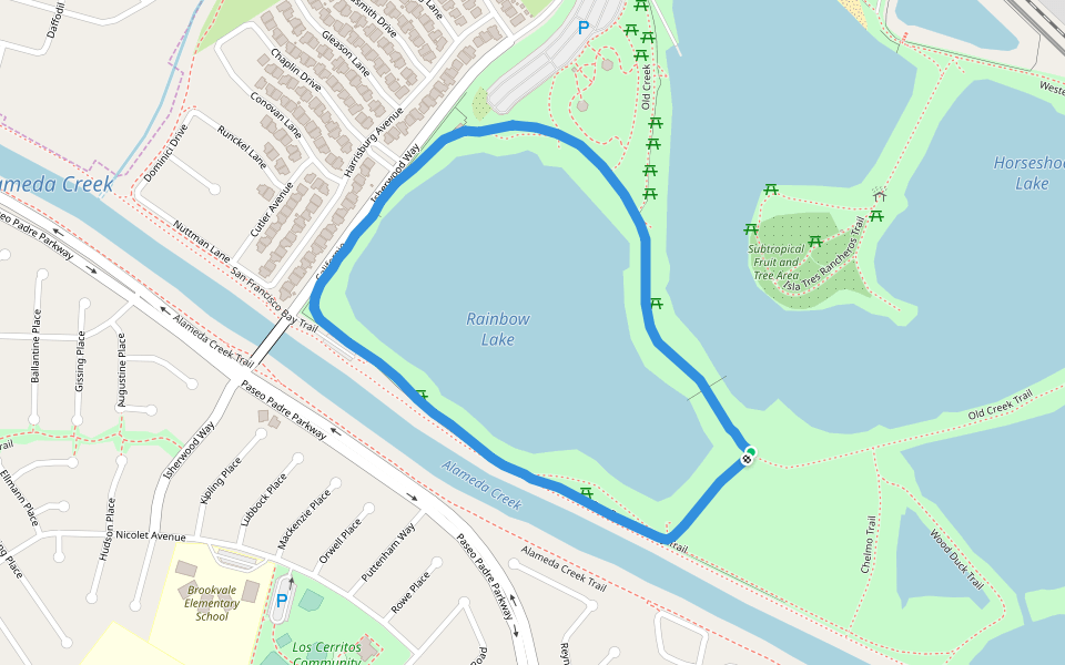
Rainbow Lake
Length 2.2 Km
Cliff Trail
Length 2.6 Km

Coyote Hills Regional Park - Meadowlark Trail
Length 1.9 Km

Coyote Hills Regional Park
Length 3.3 Km

Quarry Lakes Regional Park
Length 0.6 Km

Fischer Park
Length 0.8 Km

Ridgewood Drive
Length 2.0 Km

Wood Duck Trail
Length 0.9 Km

LaRiviere Marsh Trail
Length 8.8 Km

Warm Springs Park
Length 0.8 Km

Gomes Park
Length 1.1 Km

Mission San Jose Community Park
Length 0.4 Km

James L. Sigman Field
Length 0.3 Km


 5.0 · 1 Review


