Cape May Point State Park

'%3e%3crect%20width='7'%20height='14'%20fill='%23E7711B'/%3e%3c/g%3e%3c/svg%3e)
Sports Facility · Pond · Scrub
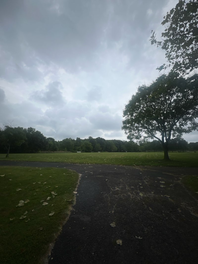
Welcome to Cape May Point State Park, located in the charming city of Cape May. This 234.2-acre park is a haven for walkers and hikers, offering a variety of trails that cater to different activity levels. Whether you prefer a leisurely stroll or a more challenging hike, the park has something for everyone. The well-maintained trails wind through diverse natural landscapes, providing an opportunity to immerse yourself in the beauty of the surroundings while engaging in physical activity. With its picturesque views and peaceful ambiance, Cape May Point State Park is the ideal destination for nature enthusiasts and outdoor adventurers.
For those seeking a memorable walking or hiking experience, Cape May Point State Park offers a range of routes to explore. The park features several trails, including the Blue Trail, Red Trail, and Yellow Trail, each offering unique perspectives of the area's natural wonders. Whether you're in the mood for a shorter, more casual walk or a longer, more challenging hike, you'll find a trail that suits your preferences. The longest route, the Cape May Point State Park Trail, spans 5.7 miles and provides an invigorating journey through the park's diverse terrain. As you traverse these paths, you'll encounter breathtaking vistas and abundant wildlife, making every step a rewarding adventure.
In addition to its captivating trails, Cape May Point State Park also offers opportunities for birdwatching, wildlife observation, and relaxation. After an invigorating walk or hike, visitors can unwind amidst the tranquil surroundings and take in the natural beauty of the park. Whether you're a seasoned hiker or a casual walker, this park provides an enriching outdoor experience that fosters a deep connection with nature. For more information about the park's routes and amenities, visitors can download the Pacer Pedometer app, which offers detailed insights into the park's walking and hiking opportunities. Discover the wonders of Cape May Point State Park and embark on a journey of exploration and rejuvenation in this idyllic natural setting.
Cox Hall Creek Wildlife Management Area
Forest · Wetland
Discover the natural beauty of Cox Hall Creek Wildlife Management Area in Lower Township as you embark on a refreshing walking or hiking adventure. With its vast 326.8 acres of unspoiled terrain, this park provides the ideal setting for outdoor activity enthusiasts to immerse themselves in the serene surroundings. The park offers a variety of well-maintained trails suitable for both casual strolls and more challenging hikes, ensuring that visitors of all fitness levels can enjoy the picturesque landscapes. Whether you're seeking a leisurely walk or a more invigorating trek, Cox Hall Creek Wildlife Management Area has something to offer for every walking and hiking enthusiast.
As you explore Cox Hall Creek Wildlife Management Area, you'll encounter the scenic Lake to Beach route, a 2.5-mile trail that promises a delightful outdoor experience. This route, with its 3.0 rating and easy accessibility, is the perfect choice for those looking to indulge in a picturesque walk amidst the tranquility of nature. The park boasts a variety of routes that cater to different preferences and abilities, ensuring that walkers and hikers can find the right trail to suit their desired level of activity. With its diverse terrain and captivating vistas, Cox Hall Creek Wildlife Management Area beckons adventurers to embark on an unforgettable outdoor journey.
For walkers and hikers seeking an escape into nature, Cox Hall Creek Wildlife Management Area is the ultimate destination. With its extensive trail network and 326.8 acres of unspoiled landscapes, this park provides an idyllic setting for outdoor enthusiasts to indulge in their passion for walking and hiking. Whether you're a novice looking for a leisurely stroll or a seasoned hiker in search of a challenging adventure, this wildlife management area offers a myriad of opportunities to explore and connect with nature. For more information on parks and route details, visitors can download the Pacer Pedometer app to access valuable insights and make the most of their outdoor excursions.

Higbee Beach Wildlife Management Area
Sports Facility · Wetland · Scrub
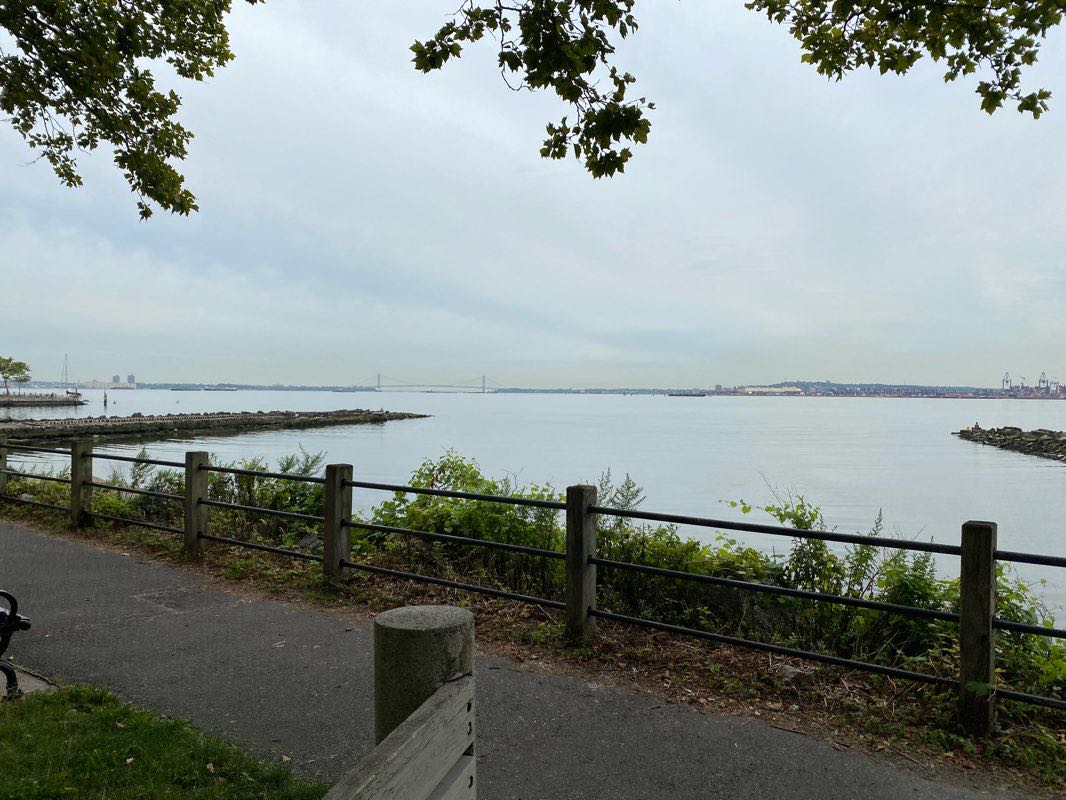
Immerse yourself in the natural beauty of Higbee Beach Wildlife Management Area, located in Cape May. This 1092.3-acre park offers a serene and unspoiled ambiance, making it an ideal destination for walkers and hikers seeking tranquility and breathtaking scenery. With its diverse landscapes, including tidal marshes and upland forest, the park provides a peaceful escape for nature enthusiasts looking to explore on foot.
Visitors to Higbee Beach Wildlife Management Area can engage in a variety of outdoor activities, including walking and hiking along the well-maintained trails that showcase the area's rich biodiversity. Cape May's temperate climate makes it an inviting location for year-round outdoor pursuits, with mild winters and comfortable summers, ensuring enjoyable walking and hiking experiences in any season.
Discover the wonders of Higbee Beach Wildlife Management Area and connect with nature on an unforgettable walking or hiking adventure. Whether you're a seasoned outdoor enthusiast or a casual walker, this park promises an enriching experience for all. Don't miss the opportunity to explore this hidden gem and create lasting memories in the heart of Cape May. For more information about the park and route details, download Pacer Pedometer and start your next outdoor adventure today!
Shorebirds Tolz Beach Preserve
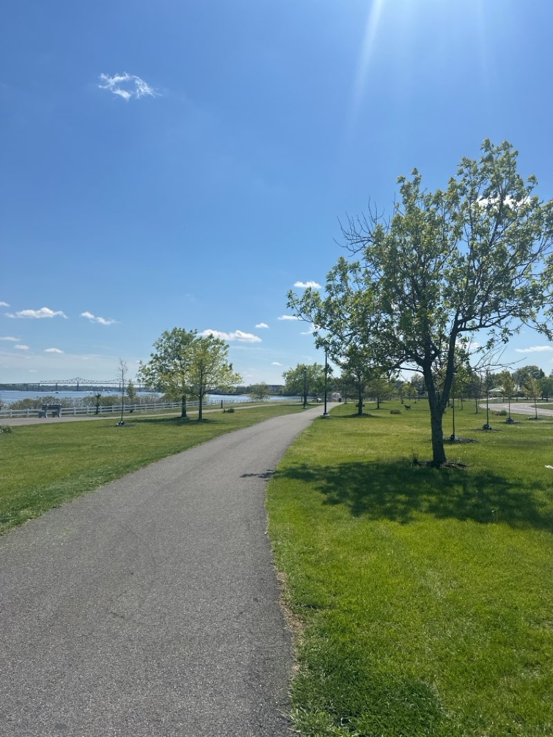
Located in Lower Township, the Shorebirds Tolz Beach Preserve is a picturesque 9.7-acre park offering a serene environment for walkers and hikers. With its diverse landscape and well-maintained trails, this park is an ideal destination for those seeking outdoor activity and natural beauty. The park features a variety of routes, including the popular 'Lake to Beach' trail, which spans 2.5 miles, providing ample opportunities for walking and hiking enthusiasts to explore the area's unique ecosystems and stunning scenery.
Visitors to Shorebirds Tolz Beach Preserve will find themselves immersed in a tranquil natural setting, surrounded by lush greenery and breathtaking coastal views. The park's well-marked trails cater to all levels of walkers and hikers, ensuring an enjoyable experience for both beginners and seasoned enthusiasts. Whether you're looking for a leisurely stroll or a more challenging hike, this preserve offers a range of routes to suit diverse preferences and fitness levels, making it an excellent choice for outdoor activity in Lower Township.
For walkers and hikers seeking to explore the beauty of Shorebirds Tolz Beach Preserve and other parks in the area, the Pacer Pedometer app is a valuable resource for accessing detailed information about routes and park amenities. Whether you're interested in discovering new trails or simply want to track your walking or hiking activity, Pacer Pedometer provides comprehensive park and route information, enhancing the overall outdoor experience for visitors. Download the app today to discover the endless possibilities for adventure in Lower Township's natural landscapes.


 5.0 · 1 Review