


[M] Lázně Bohdaneč (nám.) - Stéblová (žst.)


Length 9.2 Km
![[M] Lázně Bohdaneč (nám.) - Stéblová (žst.) walking route map in Lázně Bohdaneč](https://cdn.pacer.cc/route/screenshot/osm_370472.png)
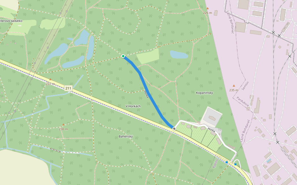
Horka
Length 0.4 Km

Explore the best walking trails and routes in Lázně Bohdaneč. Explore scenic nature walks, urban adventures, and hidden gems right in your city. Start your journey today and uncover the best walking trails & routes near you with this curated list from Pacer Walking App.
0~5 km

5~10 km
10~20 km
More than 20 km

 4.5 · 4 Reviews
![[Z] Ronov nad Doubravou - Pod Luhy walking route map in Lázně Bohdaneč](https://cdn.pacer.cc/route/screenshot/osm_2273028.png) 4.0 · 1 Review
4.0 · 1 Review 4.0 · 1 Review
![[M] Česká Třebová - Semanín walking route map in Lázně Bohdaneč](https://cdn.pacer.cc/route/screenshot/osm_1492997.png) 4.0 · 1 Review
4.0 · 1 Review![[Z] Pardubice zámek - Kunětická Hora (park.) walking route map in Lázně Bohdaneč](https://cdn.pacer.cc/route/screenshot/osm_966521.png) 4.0 · 1 Review
4.0 · 1 Review 4.0 · 1 Review
![[M] Pustá Kamenice - Pustá Rybná walking route map in Lázně Bohdaneč](https://cdn.pacer.cc/route/screenshot/osm_8551302.png) 4.0 · 1 Review
4.0 · 1 Review![[M] Proseč (nám.) - Jarošov (bus) walking route map in Lázně Bohdaneč](https://cdn.pacer.cc/route/screenshot/osm_4154325.png) 4.0 · 1 Review
4.0 · 1 ReviewPacer is the best walking app for walking step challenges and finding places to walk near me.
