


[Z] U Tokaniště - Bližší Lhota


Length 8.1 Km
![[Z] U Tokaniště - Bližší Lhota walking route map in Horní Planá](https://cdn.pacer.cc/route/screenshot/osm_2458850.png)
[Ž] Horní Planá (náměstí) - Bližší Lhota (přívoz)
Length 1.8 Km
![[Ž] Horní Planá (náměstí) - Bližší Lhota (přívoz) walking route map in Horní Planá](https://cdn.pacer.cc/route/screenshot/osm_72951.png)
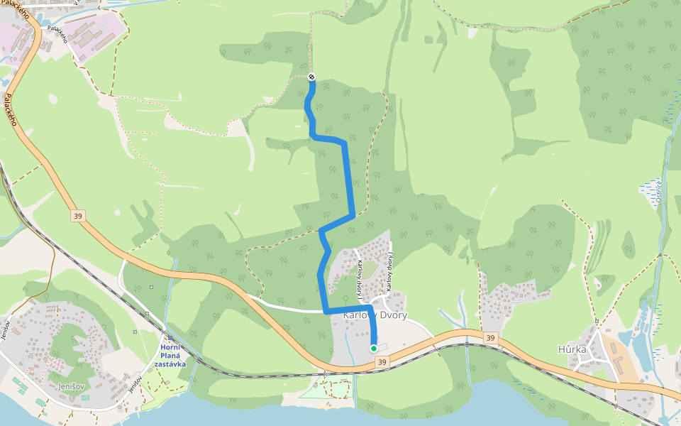
{Ž} Karlovy Dvory - Pod Oříkem
Length 1.6 Km
[Z] NS Adalberta Stiftera
Length 5.4 Km
![[Z] NS Adalberta Stiftera walking route map in Horní Planá](https://cdn.pacer.cc/route/screenshot/osm_6426316.png)

Explore the best walking trails and routes in Horní Planá. Explore scenic nature walks, urban adventures, and hidden gems right in your city. Start your journey today and uncover the best walking trails & routes near you with this curated list from Pacer Walking App.
0~5 km

5~10 km
10~20 km
More than 20 km
Pacer is the best walking app for walking challenges and finding places to walk near me.


 4.5 · 1 Review

![[M] Kunžvart - Strážný (bus) walking route map in Horní Planá](https://cdn.pacer.cc/route/screenshot/osm_2315931.png)


![[Z] Strmilov - Terezín walking route map in Horní Planá](https://cdn.pacer.cc/route/screenshot/osm_1631838.png)
