


Krajem Rychlebských hor


Length 0.1 Km

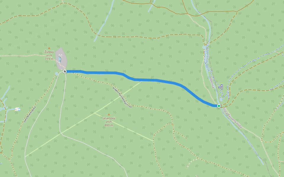
[M] Vápenná - Pod Sokolím
Length 6.1 Km
![[M] Vápenná - Pod Sokolím walking route map in Vápenná](https://cdn.pacer.cc/route/screenshot/osm_3507968.png)
Krajem Rychlebských hor
Length 1.7 Km
NS Krajem Rychlebských hor
Length 0.0 Km
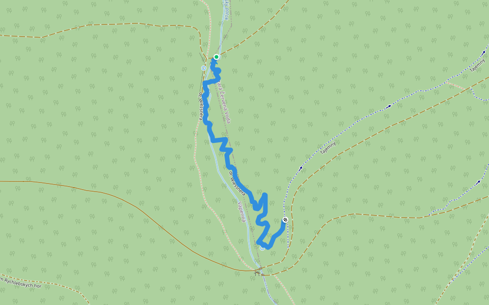
dr. Wiessnera
Length 1.1 Km

Explore the best walking trails and routes in Vápenná. Explore scenic nature walks, urban adventures, and hidden gems right in your city. Start your journey today and uncover the best walking trails & routes near you with this curated list from Pacer Walking App.
0~5 km

5~10 km
10~20 km
More than 20 km
Pacer is the best walking app for walking step challenges and finding places to walk near me.

 4.5 · 2 Reviews
![[Č] Staroměstský pevnostní okruh walking route map in Vápenná](https://cdn.pacer.cc/route/screenshot/osm_1172850.png)

![[Z] Hemberk walking route map in Vápenná](https://cdn.pacer.cc/route/screenshot/osm_3433355.png)
![[Ž] Staré Město -Kunčická hora walking route map in Vápenná](https://cdn.pacer.cc/route/screenshot/osm_4440777.png)
![[Ž] Pod Ludmilou - Nad Adéliným Pramenem walking route map in Vápenná](https://cdn.pacer.cc/route/screenshot/osm_1439828.png)
