


Beromünster Radio


Length 6.7 Km
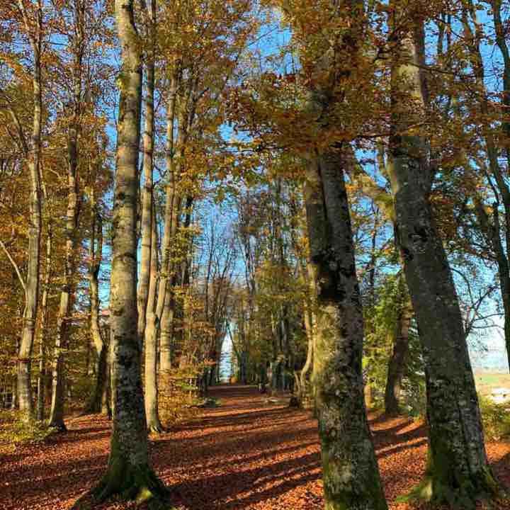
Mit dem ÖV gelangt man nach Beromünster. Weiter geht’s zur Stiftskirche. Der Hohe Turm ist unübersehbar. Man folgt dort dem Wegweiser und geht den schmalen Beromünster Radioweg hoch. Man kommt an schönen Bauernhöfen entlang und dann geht der Weg durch den als „Waldkathedrale“ bezeichneten Wald. Die Baumkulisse ist eindrücklich. Am Ende der sogenannten Kathedrale geht’s weiter dem Rsdioweg entlang und man sieht bald den alten und legendären Landessender Beromünster. Der Weg führt zum Sender hoch und bald durch den Wald, wo es etwas sumpfig sein kann. Später gelangt man auf eine kleine Strasse, welche zurück nach Beromünster führt. Auf dem Hochplateau geniesst man eine phantastische Rundsicht in die fernen Berge und Alpen sowie auf Beromünster und Umgebung. Der Pfad ist einfach und sehr ruhig und erholsam.
Gunzwil - Rickenbach
Length 2.3 Km

Beromünster - Gunzwil
Length 1.6 Km
markierter Wanderweg

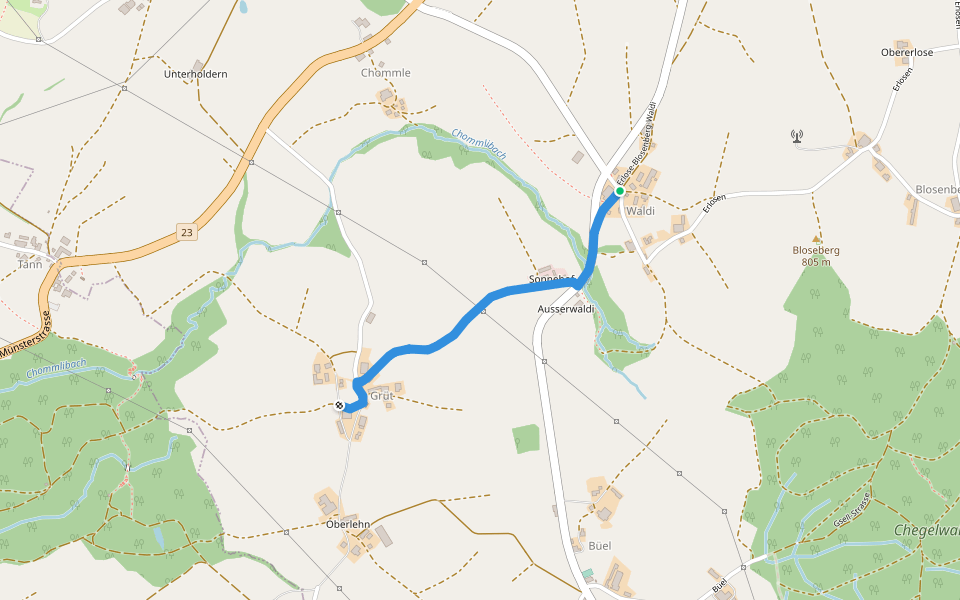
Waldi - Grüt
Length 1.3 Km
Tann - Buholz
Length 1.0 Km

Waldhaus - Älmeringen -Gormund
Length 5.8 Km
markierter Wanderweg

Alpli Gatter - fixme
Length 0.5 Km
markierter Wanderweg
Schwarzenbach - Erlosen
Length 2.1 Km
markierter Wanderweg

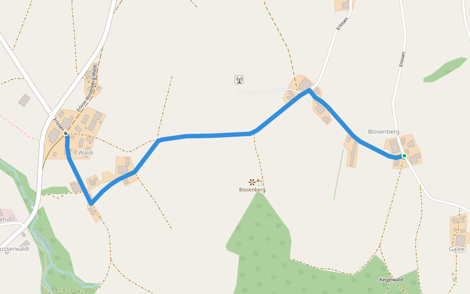
Blosenberg - Waldi
Length 1.5 Km
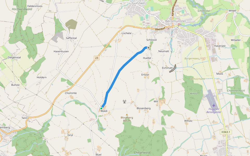
Waldi - Schlössli
Length 2.0 Km
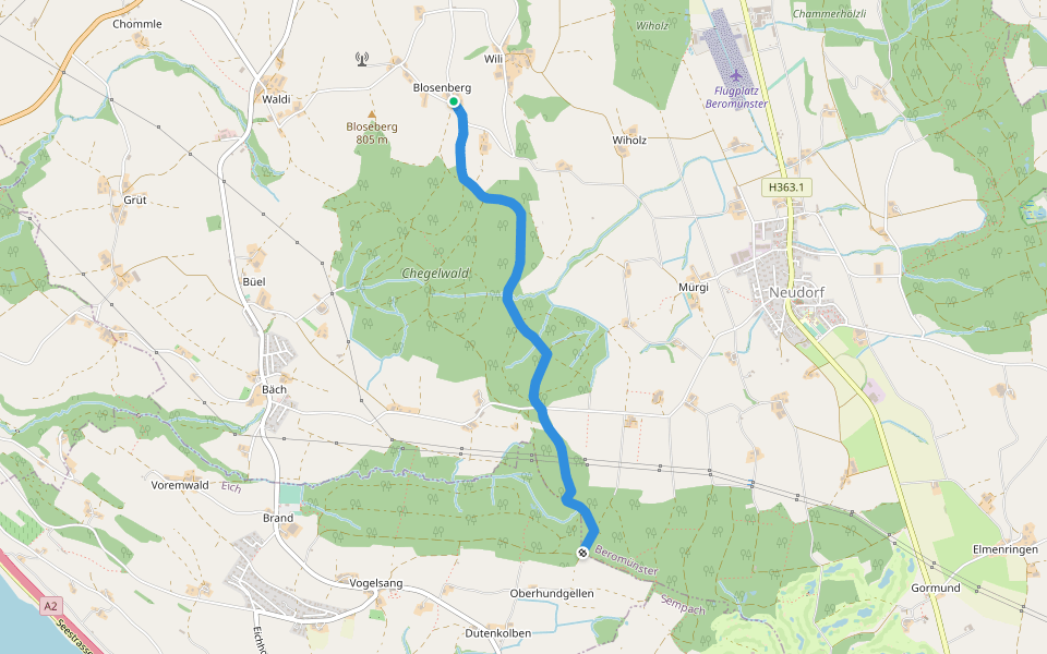
Beromünster - Blosenberg
Length 2.4 Km

Buholz - Buttenberg
Length 3.2 Km
markierter Wanderweg

Hildisrieden - Älmeringe
Length 1.6 Km
markierter Wanderweg

Morentaler Wald - Blosenberg
Length 3.2 Km
Beromünster
Length 0.2 Km

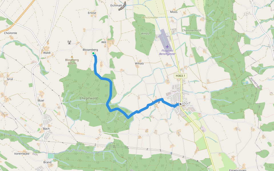
Neudorf - Unter Blosenberg
Length 3.5 Km


 5.0 · 1 Review


